Pirep is a free, collaborative database of all public and private airports. All pilots are welcome to contribute their local knowledge to any airport, no registration required.

No upcoming events. Is anything happening here soon?
Last updated: 2023-05-19 21:56:24 MDT
Airport Statistics
- Transient parking location
- Crew car availability
- Local flying clubs
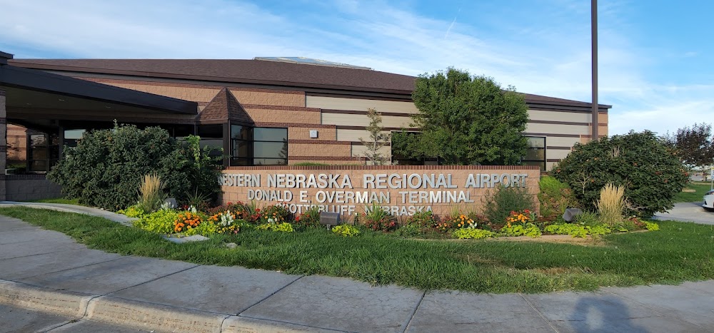
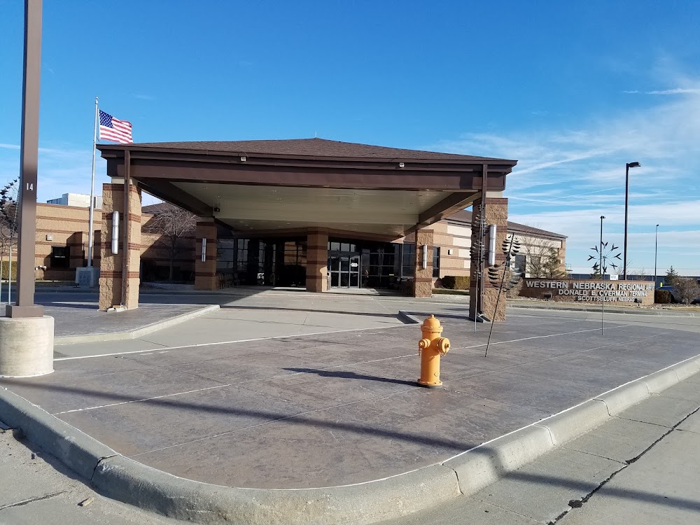
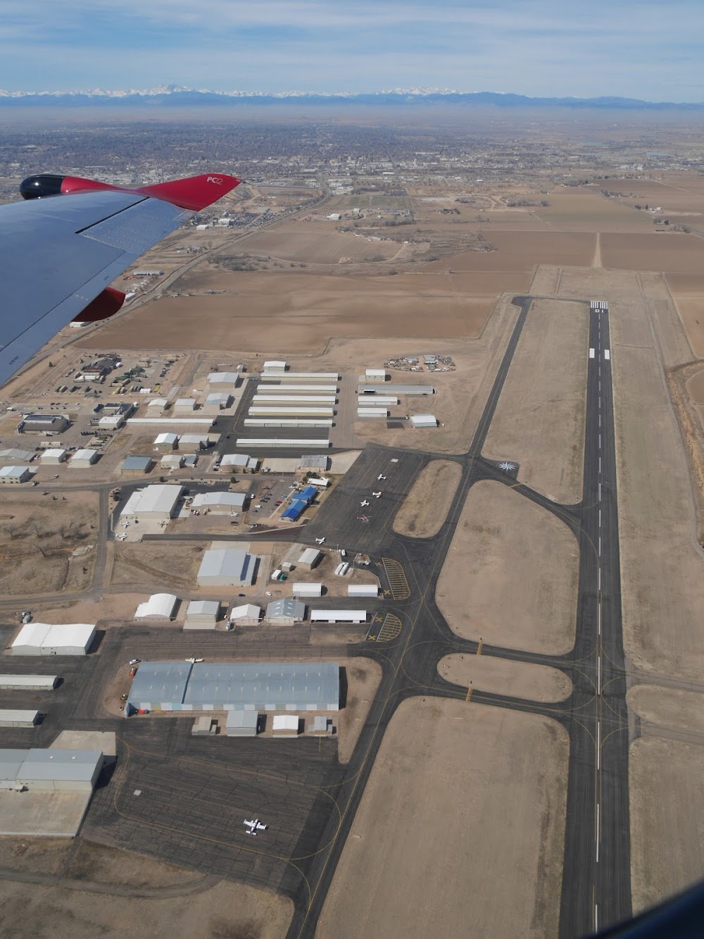
Location:
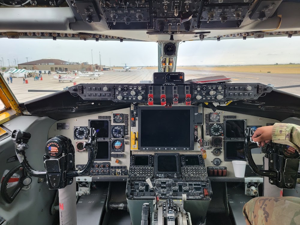
Scottsbluff, NE
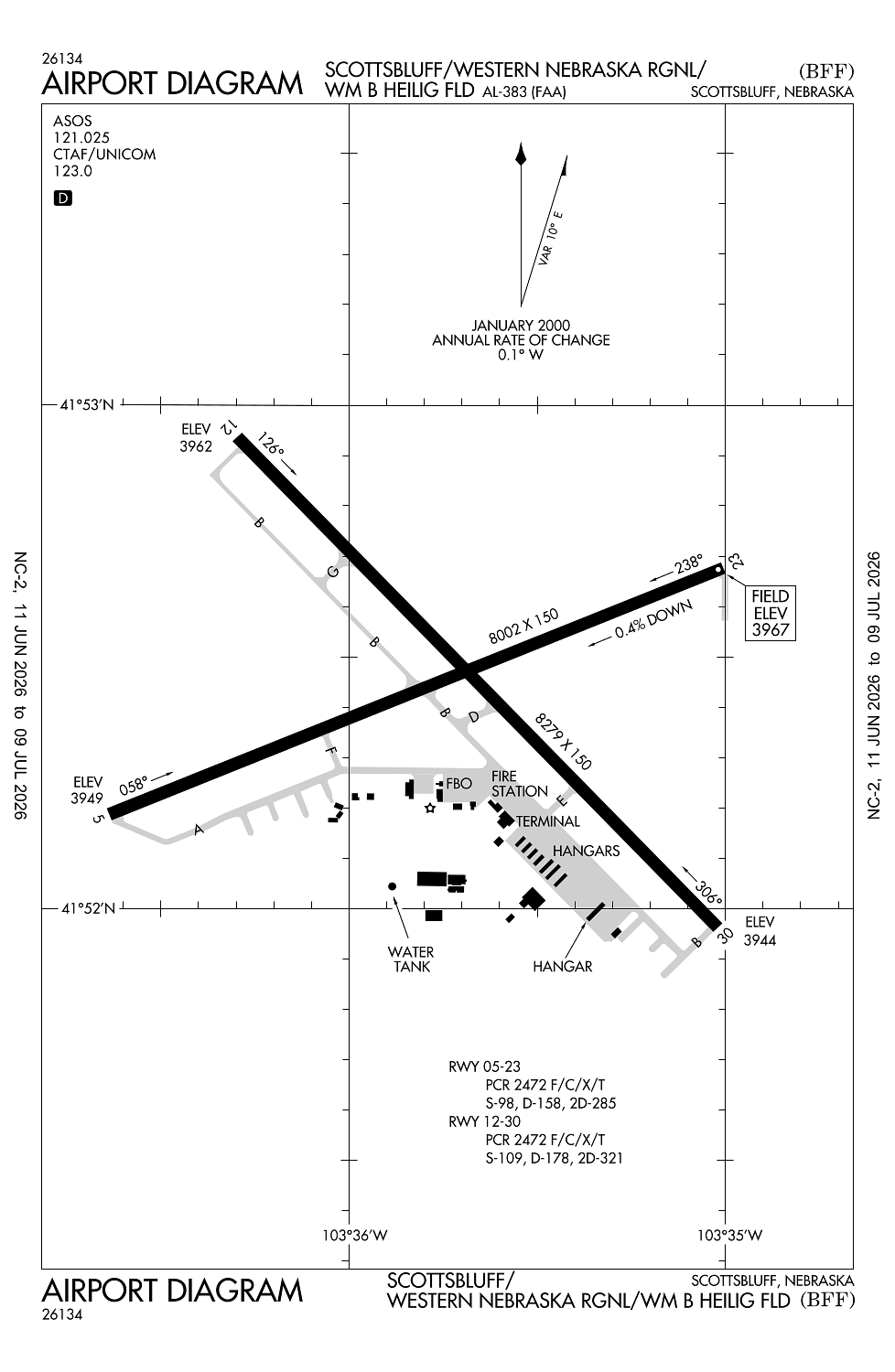
Elevation:
3,967ft
Sectional:
Cheyenne
Activation date:
Feb 1944
Fuel:
100LL, A (prices)
Runway 12/30:
8,279ft
Runway 05/23:
8,002ft
Access: Open to the public
Similar Airports

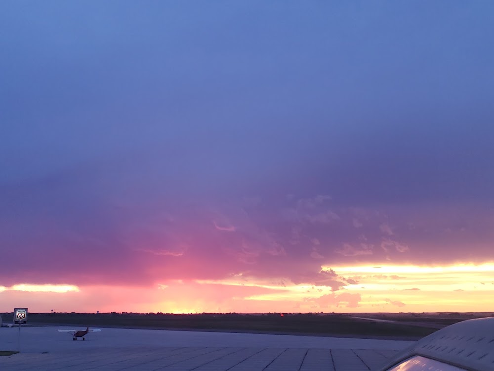
Current Weather — VFR
-
Weather data is strictly informational and not for flight planning purposes.
-
METAR2026-07-15 19:53:00 MDT
Ceiling: Sky clear Wind: 120° @ 12kt Temperature: 86°F Dewpoint: 51°F Weather: N/A Visbility: 10SM Raw:METAR KBFF 160153Z AUTO 12012KT 10SM CLR 30/11 A3004 RMK AO2 SLP118 T03000111 -
TAF2026-07-15 18:00:00 MDT – 2026-07-16 12:00:00 MDT
Ceiling: Sky clear Wind: 140° @ 10kt, gusts 20kt Weather: N/A Visbility: 6SM Clouds: @ ft Raw:TAF KBFF 152323Z 1600/1624 14010G20KT P6SM SKC FM161800 14011KT P6SM FEW060 -
TAF2026-07-16 12:00:00 MDT – 2026-07-16 18:00:00 MDT
Ceiling: Sky clear Wind: 140° @ 11kt Weather: N/A Visbility: 6SM Clouds: Few @ 6,000ft Raw:TAF KBFF 152323Z 1600/1624 14010G20KT P6SM SKC FM161800 14011KT P6SM FEW060
Click/tap to add an annotation marker to the map
No webcams added yet.
Remarks
- Per amgr use ctaf when operating on the arpt.
- Ppr 24 hrs for acr opns with more than 30 psgr seats call amgr 308-635-4941. air carrier ops over 9 passenger seats not authorized in excess of 15 minutes before or after scheduled arrival/dep times except with prior coordination with airport mgr. arff index b equipment is provided.
- Ry 30 designated calm wind ry.
- Waterfowl on & invof arpt.
- Line of site restrictions btwn apch ends of rys 05 & 30 & also btwn the apch ends of rys 12 & 23.
Comments