Pirep is a free, collaborative database of all public and private airports. All pilots are welcome to contribute their local knowledge to any airport, no registration required.
Public
Undocumented
METAR / TAF
Edit Tags
No upcoming events. Is anything happening here soon?
Airport Statistics
- Tags
- Webcam links
- Crew car availability
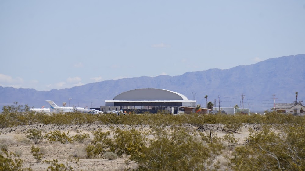
Location:
Blythe, CA
Elevation:
399ft
Sectional:
Phoenix
Activation date:
Apr 1940
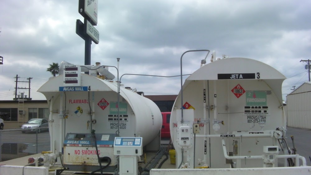
Fuel:
100LL, A (prices)
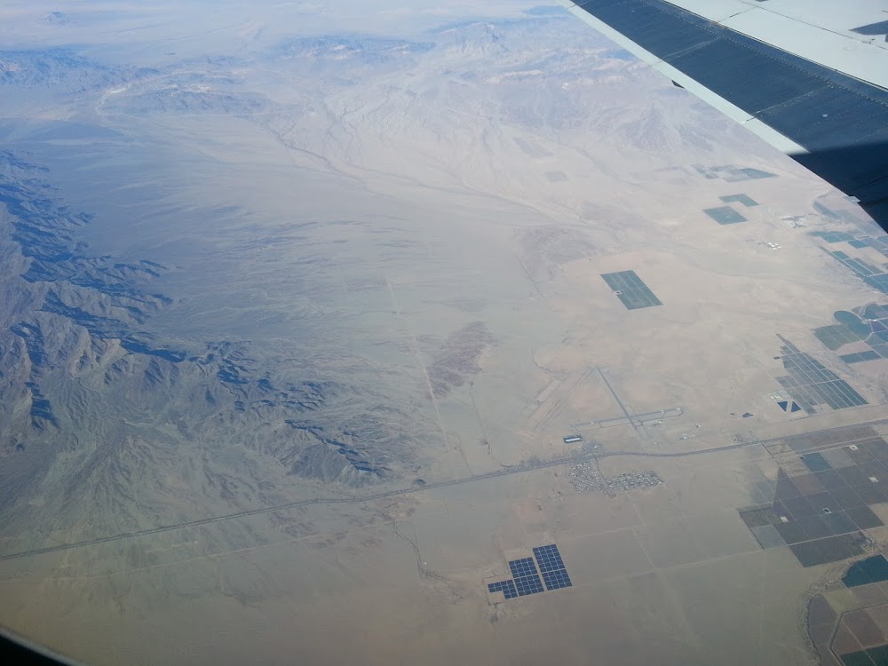
Runway 08/26:
6,543ft
Runway 17/35:
5,800ft
Access: Open to the public
Current Weather — VFR
-
Weather data is strictly informational and not for flight planning purposes.
-
METAR2026-07-21 00:52:00 PDT
Ceiling: Sky clear Wind: 180° @ 10kt Temperature: 93°F Dewpoint: 60°F Weather: N/A Visbility: 10SM Raw:METAR KBLH 210752Z AUTO 18010KT 10SM CLR 34/16 A2974 RMK AO2 SLP064 T03440156 404330317 -
TAF2026-07-20 23:00:00 PDT – 2026-07-21 01:00:00 PDT
Ceiling: Sky clear Wind: 220° @ 11kt Weather: N/A Visbility: 6SM Clouds: Few @ 12,000ft, Few @ 25,000ft Raw:TAF KBLH 210539Z 2106/2206 22011KT P6SM FEW120 FEW250 FM210800 17010KT P6SM FEW140 FEW250 FM212200 22009KT P6SM FEW120 FEW250 -
TAF2026-07-21 01:00:00 PDT – 2026-07-21 15:00:00 PDT
Ceiling: Sky clear Wind: 170° @ 10kt Weather: N/A Visbility: 6SM Clouds: Few @ 14,000ft, Few @ 25,000ft Raw:TAF KBLH 210539Z 2106/2206 22011KT P6SM FEW120 FEW250 FM210800 17010KT P6SM FEW140 FEW250 FM212200 22009KT P6SM FEW120 FEW250 -
TAF2026-07-21 15:00:00 PDT – 2026-07-21 23:00:00 PDT
Ceiling: Sky clear Wind: 220° @ 9kt Weather: N/A Visbility: 6SM Clouds: Few @ 12,000ft, Few @ 25,000ft Raw:TAF KBLH 210539Z 2106/2206 22011KT P6SM FEW120 FEW250 FM210800 17010KT P6SM FEW140 FEW250 FM212200 22009KT P6SM FEW120 FEW250
Click/tap to add an annotation marker to the map
No webcams added yet.
Remarks
- This airport has been surveyed by the national geodetic survey.
- Acft over 12500 lbs avoid housing area 1.5 nm sw blo 2000' final apch rwy 35 be estabd 2 nm fm touchdown.
- Dep fm ry 17 make climbing left turn soon as safety permits. use wide tfc pattern for rys 26 & 35.
- Power plant 1 mile east of arpt producing thermal plumes; avoid low altitude direct overflight of the power plant.
- Paja. prcht trng high and low lvls all hrs ne quad of arpt
- For cd if una to ctc on fss freq, ctc los angeles artcc at 661-575-2079.
- Actvt vasi rwy 17, 35 & 26; mirl rwy 17/35 & 08/26 - ctaf
Comments