Pirep is a free, collaborative database of all public and private airports. All pilots are welcome to contribute their local knowledge to any airport, no registration required.
Public
Undocumented
METAR / TAF
Edit Tags
No upcoming events. Is anything happening here soon?
Airport Statistics
- Crew car availability
- WiFi availability
- Transient parking location
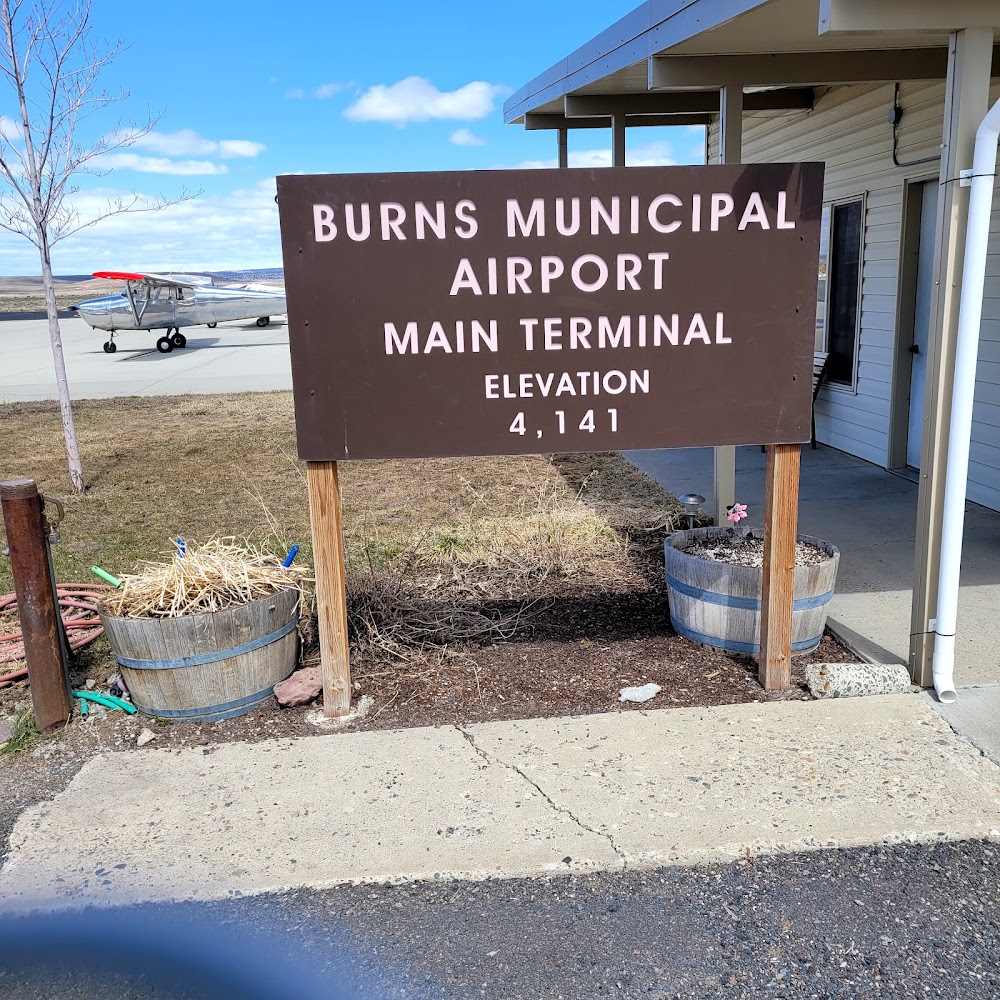
Location:
Burns, OR
Elevation:
4,148ft
Sectional:
Klamath Falls
Activation date:
Jun 1943
Fuel:
100LL, A (prices)
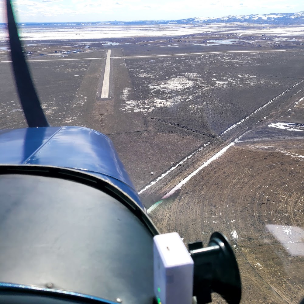
Runway 12/30:
5,101ft
Runway 03/21:
4,600ft
Access: Open to the public
Current Weather — VFR
-
Weather data is strictly informational and not for flight planning purposes.
-
METAR2026-07-20 06:53:00 PDT
Ceiling: Sky clear Wind: 330° @ 8kt Temperature: 73°F Dewpoint: 41°F Weather: N/A Visbility: 7SM Raw:METAR KBNO 201353Z AUTO 33008KT 7SM CLR 23/05 A3009 RMK AO2 SLP136 T02330050 -
TAF2026-07-20 05:00:00 PDT – 2026-07-20 11:00:00 PDT
Ceiling: 12,000ft Wind: Variable Weather: Smoke Visbility: 6SM Clouds: Few @ 3,000ft, Broken @ 12,000ft Raw:TAF KBNO 201145Z 2012/2112 VRB06KT 6SM FU FEW030 BKN120 FM201800 31008KT 6SM FU FEW050 BKN120 TEMPO 2103/2106 34015G25KT -
TAF2026-07-20 11:00:00 PDT – 2026-07-21 05:00:00 PDT
Ceiling: 12,000ft Wind: 310° @ 8kt Weather: Smoke Visbility: 6SM Clouds: Few @ 5,000ft, Broken @ 12,000ft Raw:TAF KBNO 201145Z 2012/2112 VRB06KT 6SM FU FEW030 BKN120 FM201800 31008KT 6SM FU FEW050 BKN120 TEMPO 2103/2106 34015G25KT -
TAF2026-07-20 20:00:00 PDT – 2026-07-20 23:00:00 PDT
Ceiling: Sky clear Wind: 340° @ 15kt, gusts 25kt Weather: N/A Visbility: SM Raw:TAF KBNO 201145Z 2012/2112 VRB06KT 6SM FU FEW030 BKN120 FM201800 31008KT 6SM FU FEW050 BKN120 TEMPO 2103/2106 34015G25KT
Click/tap to add an annotation marker to the map
No webcams added yet.
Remarks
- Estabd prior to 1959.
- Flocks of large birds invof arpt feb - may & sep - oct.
- For cd if una to ctc on fss freq, ctc salt lake artcc at 801-320-2568.
- Actvt mirl rys 03/21 & 12/30, papi rys 03 & 21, vasi rys 12 & 30, & reils rys 03, 21, 12, & 30 - ctaf.
- Terminal open 24 hrs.
- Back up amgr nr (541) 589-2755.
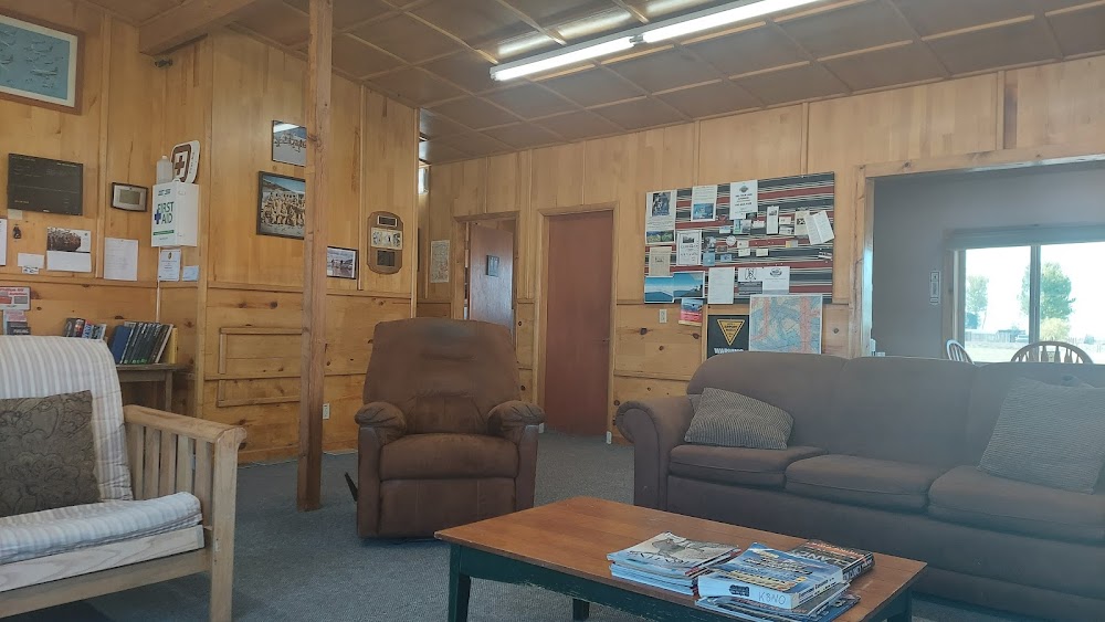
- Courtesy cars, vending machines, wifi.
- Self serve card lock fuel avail 24 hrs.
Comments