Pirep is a free, collaborative database of all public and private airports. All pilots are welcome to contribute their local knowledge to any airport, no registration required.


Public
Undocumented
METAR / TAF
Edit Tags
No upcoming events. Is anything happening here soon?
Airport Statistics
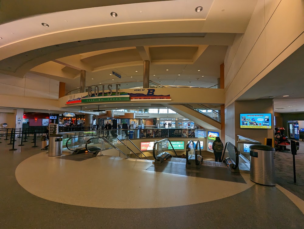
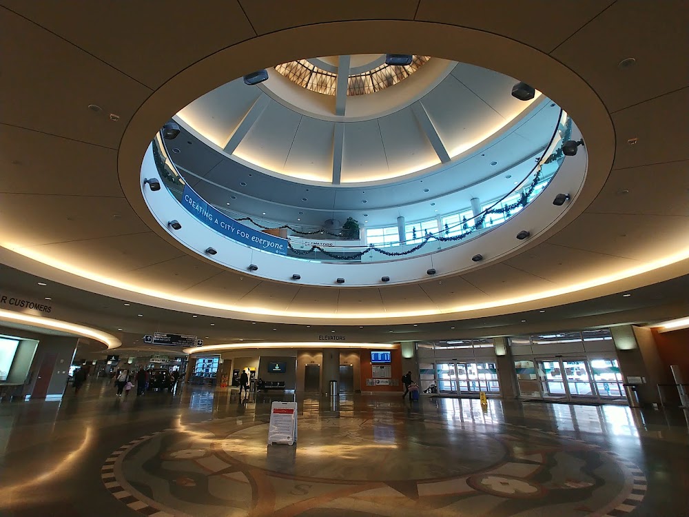
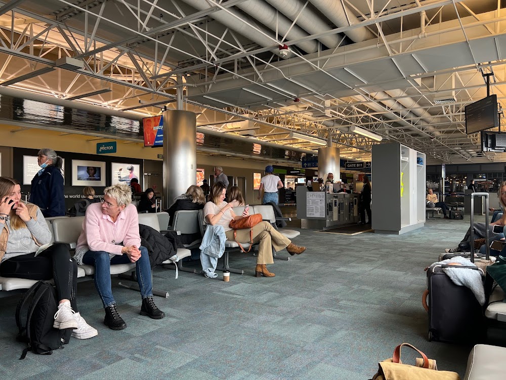
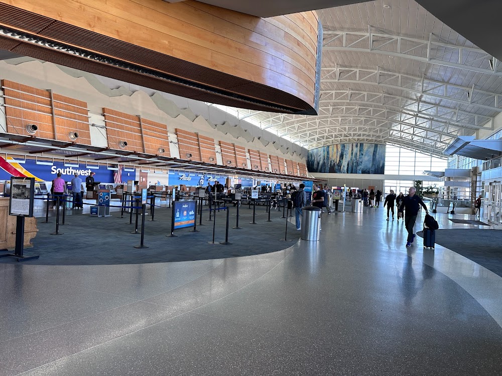
- Airport photos
- Tags
- Webcam links
Location:
Boise, ID
Elevation:
2,871ft
Sectional:
Salt Lake City
Activation date:
Apr 1940
Fuel:
100LL, A+ (prices)
Runway 10L/28R:
10,000ft
Runway 10R/28L:
9,763ft
Runway H1:
50ft
Access: Open to the public
Current Weather — VFR
-
Weather data is strictly informational and not for flight planning purposes.
-
METAR2026-07-16 02:53:00 MDT
Ceiling: Sky clear Wind: 110° @ 5kt Temperature: 75°F Dewpoint: 50°F Weather: N/A Visbility: 10SM Raw:METAR KBOI 160853Z 11005KT 10SM CLR 24/10 A2989 RMK AO2 SLP085 T02440100 58003 $ -
TAF2026-07-16 00:00:00 MDT – 2026-07-16 09:00:00 MDT
Ceiling: Sky clear Wind: 140° @ 6kt Weather: N/A Visbility: 6SM Clouds: Few @ 20,000ft Raw:TAF KBOI 160520Z 1606/1706 14006KT P6SM FEW200 FM161500 15009KT P6SM FEW150 FM162100 22010G18KT P6SM VCTS SCT100CB PROB30 1621/1701 VRB20G35KT -TSRA BKN080CB FM170100 13007KT P6SM SCT150 -
TAF2026-07-16 09:00:00 MDT – 2026-07-16 15:00:00 MDT
Ceiling: Sky clear Wind: 150° @ 9kt Weather: N/A Visbility: 6SM Clouds: Few @ 15,000ft Raw:TAF KBOI 160520Z 1606/1706 14006KT P6SM FEW200 FM161500 15009KT P6SM FEW150 FM162100 22010G18KT P6SM VCTS SCT100CB PROB30 1621/1701 VRB20G35KT -TSRA BKN080CB FM170100 13007KT P6SM SCT150 -
TAF2026-07-16 15:00:00 MDT – 2026-07-16 19:00:00 MDT
Ceiling: 8,000ft Wind: Variable, gusts 35kt Weather: Light thunderstorm rain Visbility: SM Clouds: Broken @ 8,000ft Raw:TAF KBOI 160520Z 1606/1706 14006KT P6SM FEW200 FM161500 15009KT P6SM FEW150 FM162100 22010G18KT P6SM VCTS SCT100CB PROB30 1621/1701 VRB20G35KT -TSRA BKN080CB FM170100 13007KT P6SM SCT150 -
TAF2026-07-16 15:00:00 MDT – 2026-07-16 19:00:00 MDT
Ceiling: Sky clear Wind: 220° @ 10kt, gusts 18kt Weather: Thunderstorm in vicinity Visbility: 6SM Clouds: Scattered @ 10,000ft Raw:TAF KBOI 160520Z 1606/1706 14006KT P6SM FEW200 FM161500 15009KT P6SM FEW150 FM162100 22010G18KT P6SM VCTS SCT100CB PROB30 1621/1701 VRB20G35KT -TSRA BKN080CB FM170100 13007KT P6SM SCT150 -
TAF2026-07-16 19:00:00 MDT – 2026-07-17 00:00:00 MDT
Ceiling: Sky clear Wind: 130° @ 7kt Weather: N/A Visbility: 6SM Clouds: Scattered @ 15,000ft Raw:TAF KBOI 160520Z 1606/1706 14006KT P6SM FEW200 FM161500 15009KT P6SM FEW150 FM162100 22010G18KT P6SM VCTS SCT100CB PROB30 1621/1701 VRB20G35KT -TSRA BKN080CB FM170100 13007KT P6SM SCT150
Click/tap to add an annotation marker to the map

No webcams added yet.
Remarks
- Hel ops sfc-3500 ft wi 1 nm e, w & 5 nm s of rwy 10r/28l.
- Arr/dep 2200-0700 ppr due to locked gates - fbo.
- Fss local - 343-2525.
- (e94) wsfo
- Bird act wi 5 nm oct-mar.
Comments