Pirep is a free, collaborative database of all public and private airports. All pilots are welcome to contribute their local knowledge to any airport, no registration required.
Public
Undocumented
METAR / TAF
Edit Tags
No upcoming events. Is anything happening here soon?
Airport Statistics
- Airport map annotations
- Transient parking location
- Tags
Location:
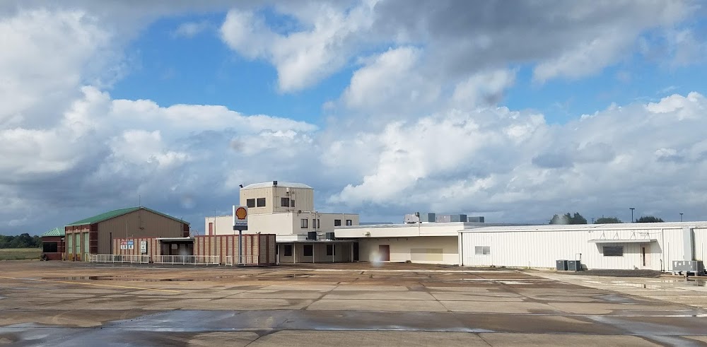
Beaumont/Port Arthur, TX
Elevation:
14ft
Sectional:
Houston
Activation date:
Apr 1944
Fuel:
100LL, A (prices)
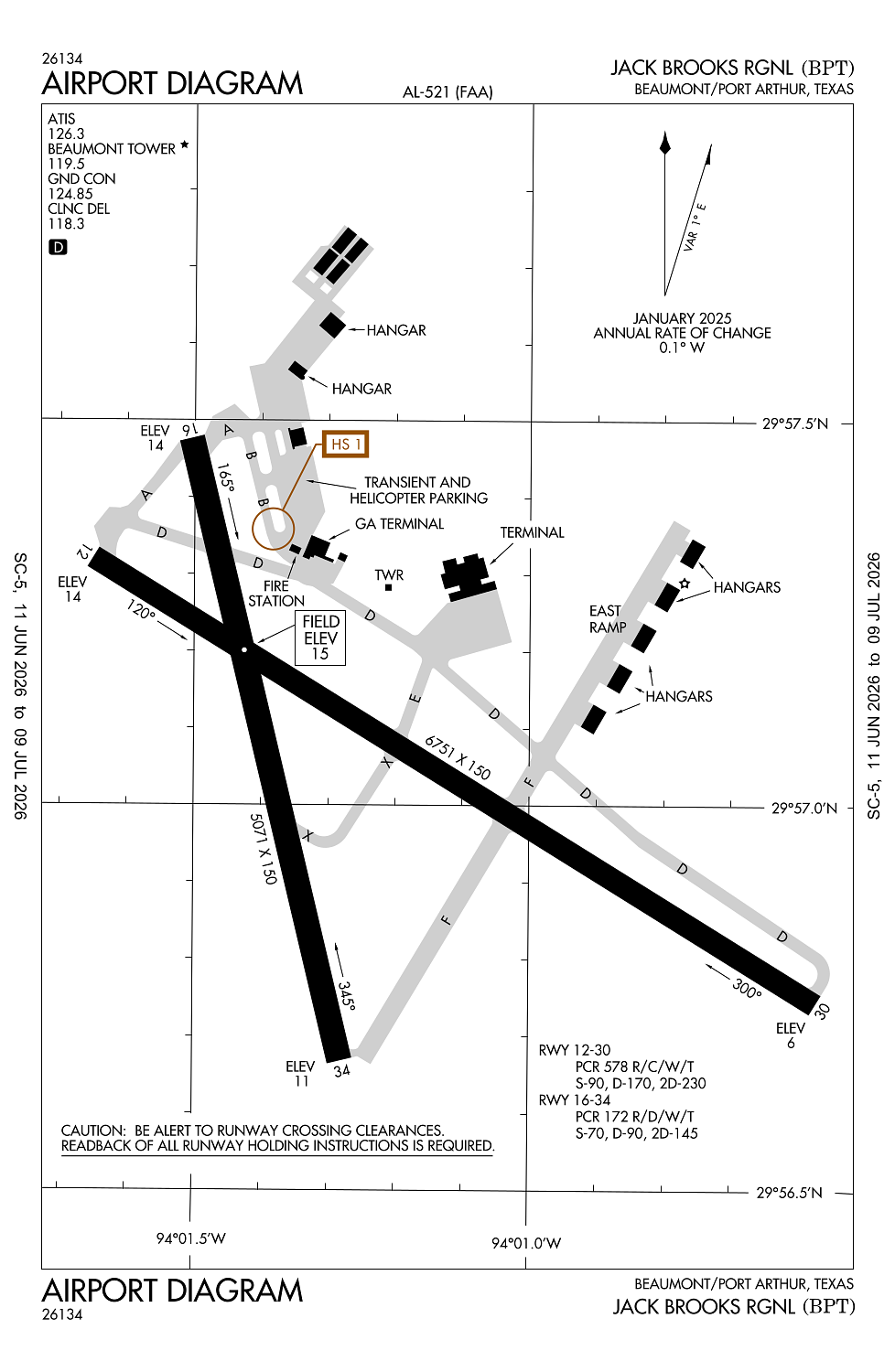
Runway 12/30:
6,751ft
Runway 16/34:
5,071ft
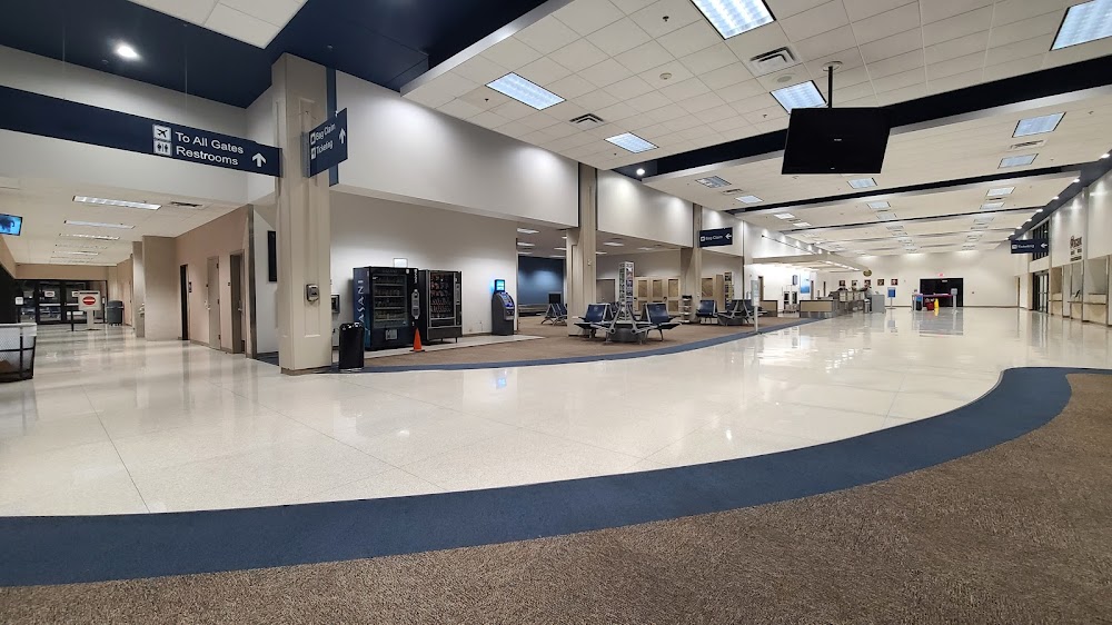
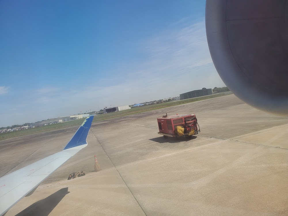
Access: Open to the public
Current Weather — VFR
-
Weather data is strictly informational and not for flight planning purposes.
-
METAR2026-07-27 05:53:00 CDT
Ceiling: Sky clear Wind: Calm Temperature: 77°F Dewpoint: 75°F Weather: N/A Visbility: 10SM Raw:METAR KBPT 271053Z 00000KT 10SM CLR 25/24 A2997 RMK AO2 SLP148 T02500239 -
TAF2026-07-27 07:00:00 CDT – 2026-07-27 12:00:00 CDT
Ceiling: Sky clear Wind: 250° @ 6kt Weather: N/A Visbility: 6SM Clouds: Few @ 2,500ft Raw:TAF KBPT 271120Z 2712/2812 25006KT P6SM FEW025 FM271700 21009KT P6SM FEW050 SCT250 FM280100 VRB03KT P6SM SKC -
TAF2026-07-27 12:00:00 CDT – 2026-07-27 20:00:00 CDT
Ceiling: Sky clear Wind: 210° @ 9kt Weather: N/A Visbility: 6SM Clouds: Few @ 5,000ft, Scattered @ 25,000ft Raw:TAF KBPT 271120Z 2712/2812 25006KT P6SM FEW025 FM271700 21009KT P6SM FEW050 SCT250 FM280100 VRB03KT P6SM SKC -
TAF2026-07-27 20:00:00 CDT – 2026-07-28 07:00:00 CDT
Ceiling: Sky clear Wind: Variable Weather: N/A Visbility: 6SM Clouds: @ ft Raw:TAF KBPT 271120Z 2712/2812 25006KT P6SM FEW025 FM271700 21009KT P6SM FEW050 SCT250 FM280100 VRB03KT P6SM SKC
Click/tap to add an annotation marker to the map
No webcams added yet.
Remarks
- This airport has been surveyed by the national geodetic survey.
- Bird actvty on & invof arpt.
- For cd when atct is clsd ctc houston apch at 281-443-5844 to cnl ifr at 281-443-5888.
- Dusk-dawn. when atct clsd reil rwys 16, 30 & 34; hirl rwy 12/30 & 16/34 preset med intst. actvt malsr rwy 12 - ctaf.
- First 4271 ft of rwy 34 grvd.
Comments