Pirep is a free, collaborative database of all public and private airports. All pilots are welcome to contribute their local knowledge to any airport, no registration required.


Public
Undocumented
METAR / TAF
Edit Tags
No upcoming events. Is anything happening here soon?
Airport Statistics
- Local flying clubs
- Crew car availability
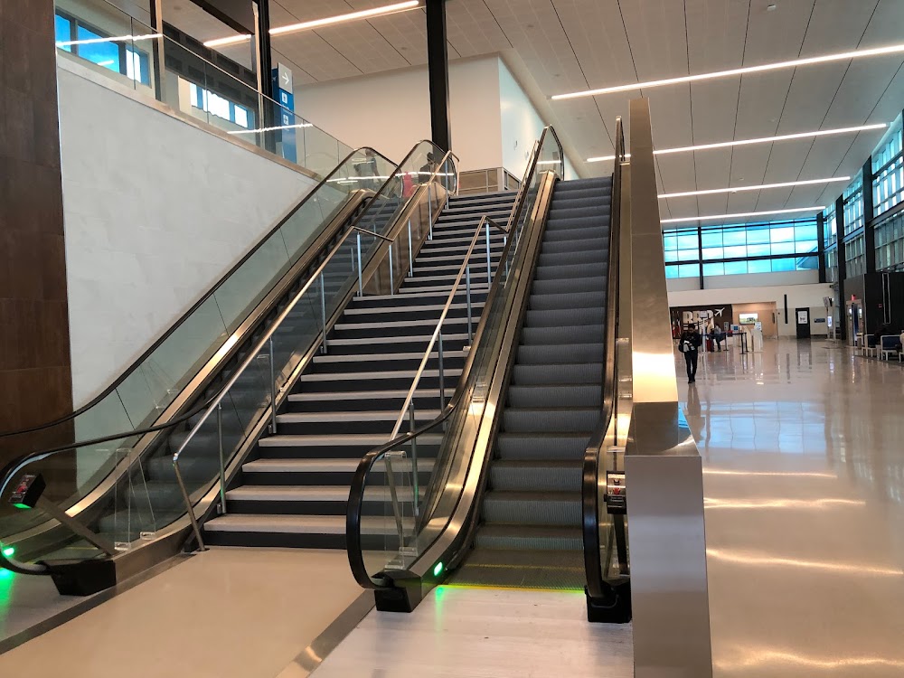
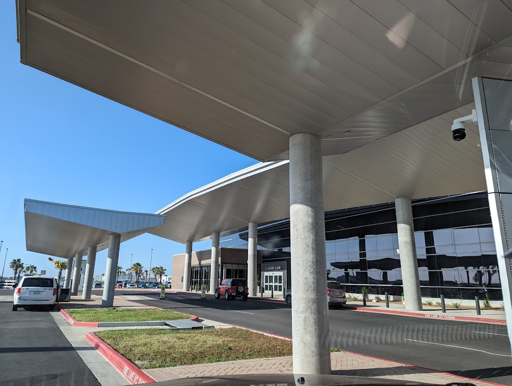
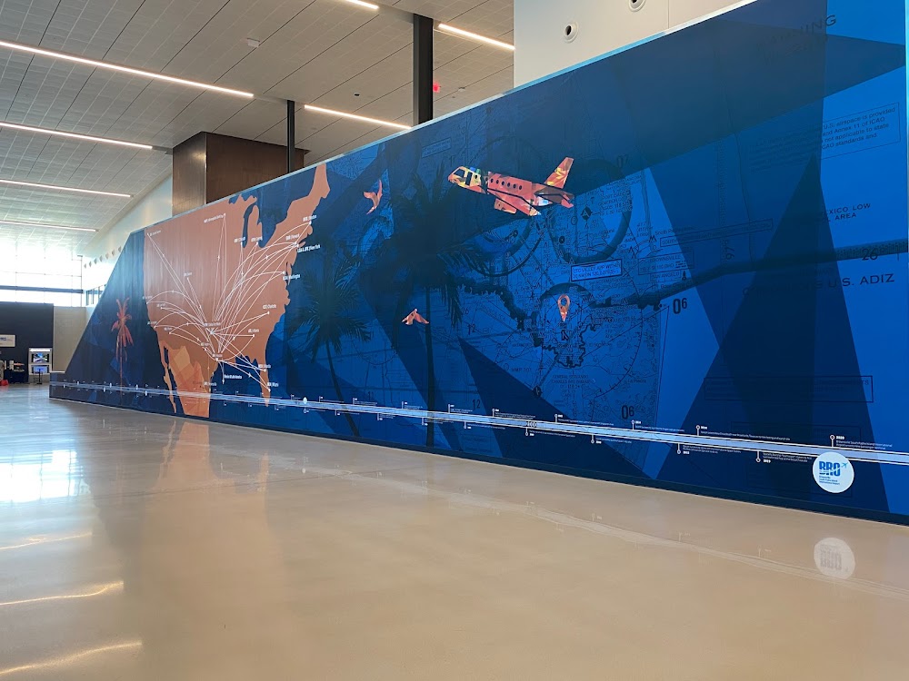
- General description
Location:
Brownsville, TX
Elevation:
22ft
Sectional:
Brownsville
Activation date:
Sep 1937
Fuel:
100LL, A (prices)
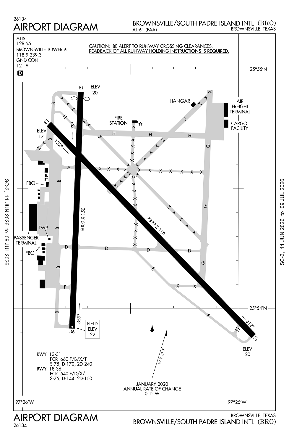
Runway 13/31:
7,399ft
Runway 18/36:
6,000ft
Access: Open to the public
Current Weather — VFR
-
Weather data is strictly informational and not for flight planning purposes.
-
METAR2026-07-21 00:53:00 CDT
Ceiling: Sky clear Wind: 150° @ 8kt Temperature: 80°F Dewpoint: 75°F Weather: N/A Visbility: 10SM Raw:METAR KBRO 210553Z AUTO 15008KT 10SM CLR 27/24 A2992 RMK AO2 SLP130 T02670239 10328 20267 403780261 50005 $ -
TAF2026-07-21 01:00:00 CDT – 2026-07-21 14:00:00 CDT
Ceiling: Sky clear Wind: 150° @ 7kt Weather: N/A Visbility: 6SM Clouds: Scattered @ 3,000ft Raw:TAF KBRO 210520Z 2106/2206 15007KT P6SM SCT030 FM211900 15012G22KT P6SM FEW150 FM220200 16008KT P6SM SKC -
TAF2026-07-21 14:00:00 CDT – 2026-07-21 21:00:00 CDT
Ceiling: Sky clear Wind: 150° @ 12kt, gusts 22kt Weather: N/A Visbility: 6SM Clouds: Few @ 15,000ft Raw:TAF KBRO 210520Z 2106/2206 15007KT P6SM SCT030 FM211900 15012G22KT P6SM FEW150 FM220200 16008KT P6SM SKC -
TAF2026-07-21 21:00:00 CDT – 2026-07-22 01:00:00 CDT
Ceiling: Sky clear Wind: 160° @ 8kt Weather: N/A Visbility: 6SM Clouds: @ ft Raw:TAF KBRO 210520Z 2106/2206 15007KT P6SM SCT030 FM211900 15012G22KT P6SM FEW150 FM220200 16008KT P6SM SKC
Click/tap to add an annotation marker to the map
No webcams added yet.
Remarks
- When atct clsd req arff assistance thru houston artcc or flt svc. ppr 24 hrs for unsked acr opns with more than 30 psgr seats call amgr 956-542-4373.
- Flight notification service (adcus) available.
- Lgtd oil derricks lctn aprxly 5 nm ne max 500 ft agl.
- Birds on & invof arpt.
- For cd when atct is clsd ctc crp apch at 361-299-4230.
Comments