Pirep is a free, collaborative database of all public and private airports. All pilots are welcome to contribute their local knowledge to any airport, no registration required.
Undocumented
METAR / TAF
Edit Tags
No upcoming events. Is anything happening here soon?
Airport Statistics
- Crew car availability
- Transient parking location
- Local flying clubs
Location:
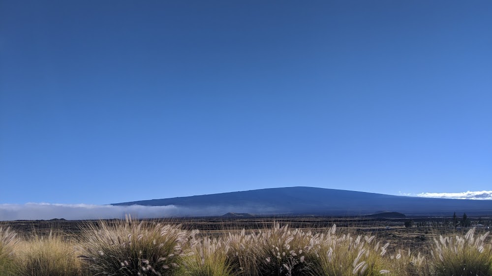
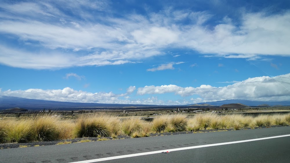
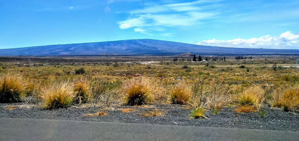
Camp Pohakuloa, HI
Elevation:
6,190ft
Sectional:
Hawaiian Islands
Activation date:
Apr 1960
Fuel:
None
Runway 09/27:
3,696ft
Access: Private to everyone
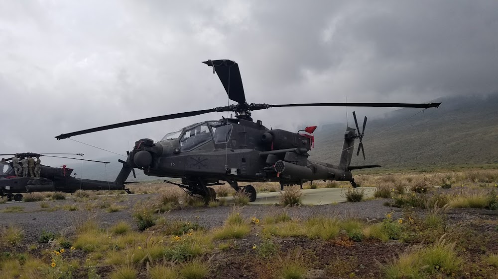
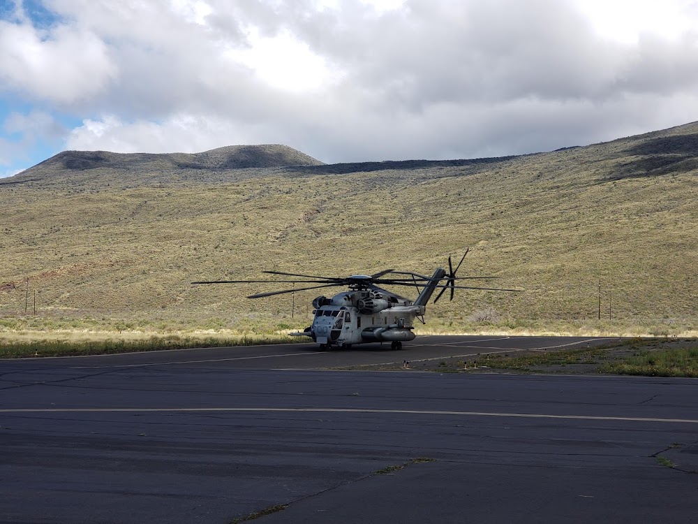
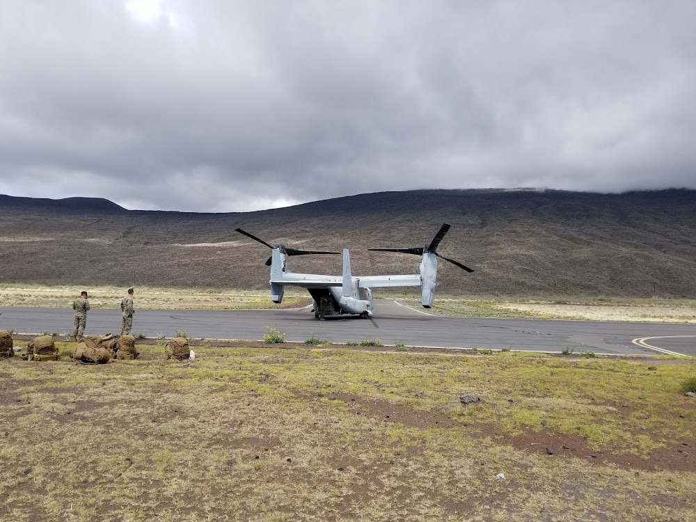
This is a military facility.
Current Weather — VFR
-
Weather data is strictly informational and not for flight planning purposes.
-
METAR2026-07-20 09:55:00 HST
Ceiling: Sky clear Wind: 130° @ 16kt, gusts 21kt Temperature: 71°F Dewpoint: 50°F Weather: N/A Visbility: 10SM Raw:METAR PHSF 201955Z AUTO 13016G21KT 10SM CLR 22/10 A3029 RMK AO2 SLP140 T02180100 $
Click/tap to add an annotation marker to the map
No webcams added yet.
Remarks
- Trml, planes & mrkd twr on arpt.
- <500 x 90 ovrn both ends rwy 9-27.
- Arpt is vfr fld for mil training.
- Rstd - ppr for full stop ldg, pkg and for non-tenant acft. 72 hr ppr for haz cargo opns, f/w opns, & code movement, 24 hr ppr for all tran acft; ovft of ammo supply pt lctd 3300 ft s of afld is proh.
- No acft with skids on fixed wing ramp.
- Caution: 7 ft lip at w end of ovrn. 75 ft of lava rock each side of rwy for dust ctl. extv dust hazard to f/w acft on e & w copter pkg ramps.
- 2.9% up slope w to e. extsv copter tfc vcnty of afld. terrain rises rapidly n of afld to 13796' msl.
- Tfc pat for rotor wing north of rwy 09/27. f/w as directed by atc.
Comments