Pirep is a free, collaborative database of all public and private airports. All pilots are welcome to contribute their local knowledge to any airport, no registration required.
Public
Undocumented
METAR / TAF
Edit Tags
No upcoming events. Is anything happening here soon?
Airport Statistics
- Transient parking location
- General description
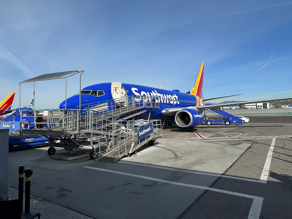
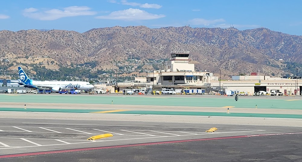
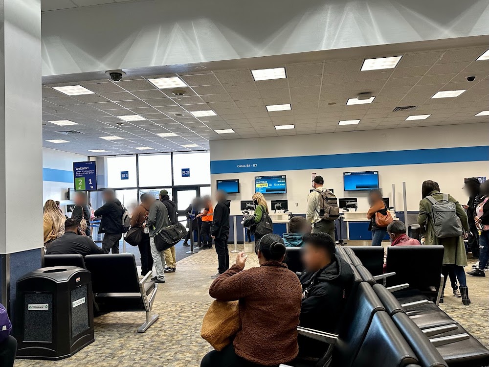
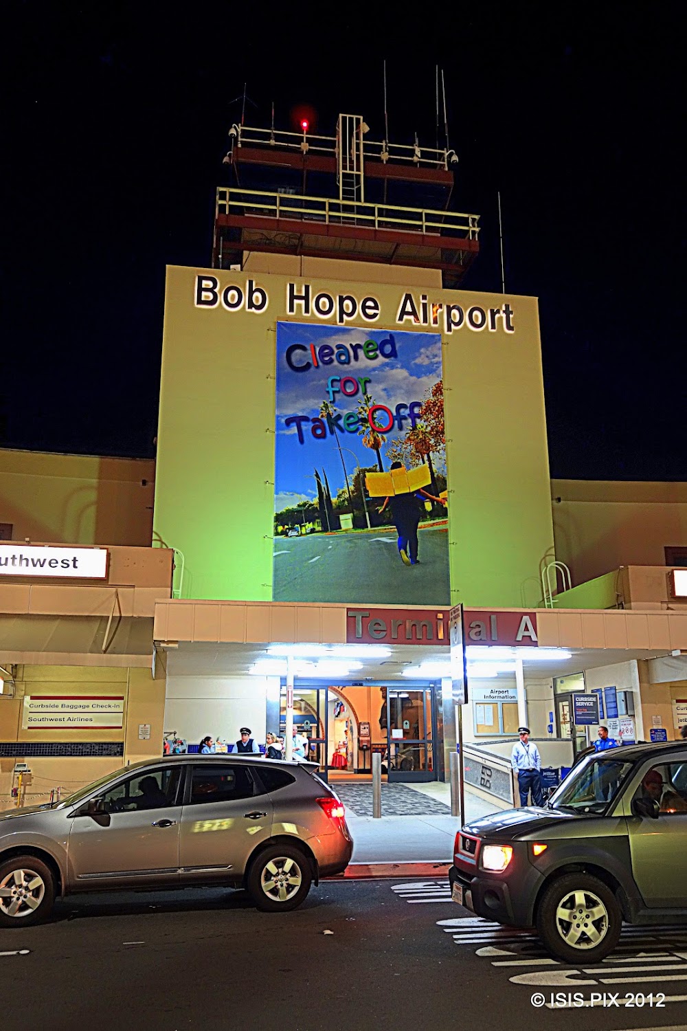
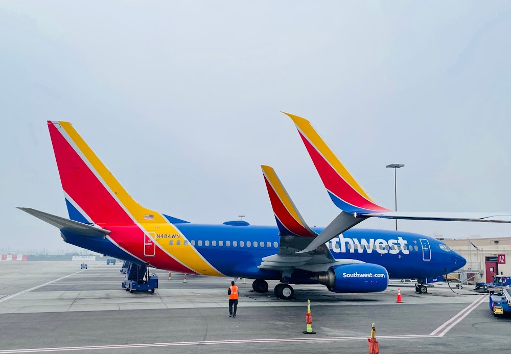
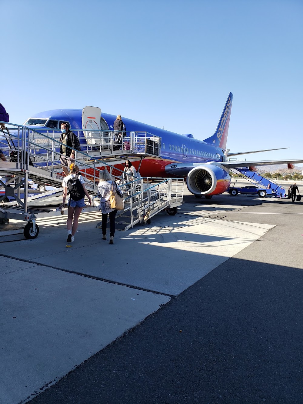
- Airport photos
Location:
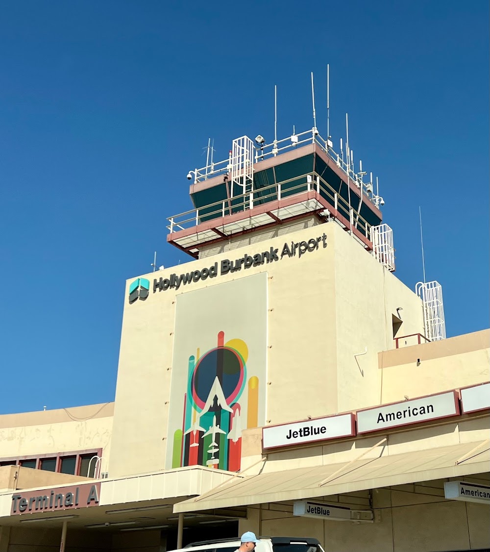
Burbank, CA
Elevation:
778ft
Sectional:
Los Angeles
Activation date:
Dec 1942
Fuel:
100LL, A, A+, UL94 (prices)
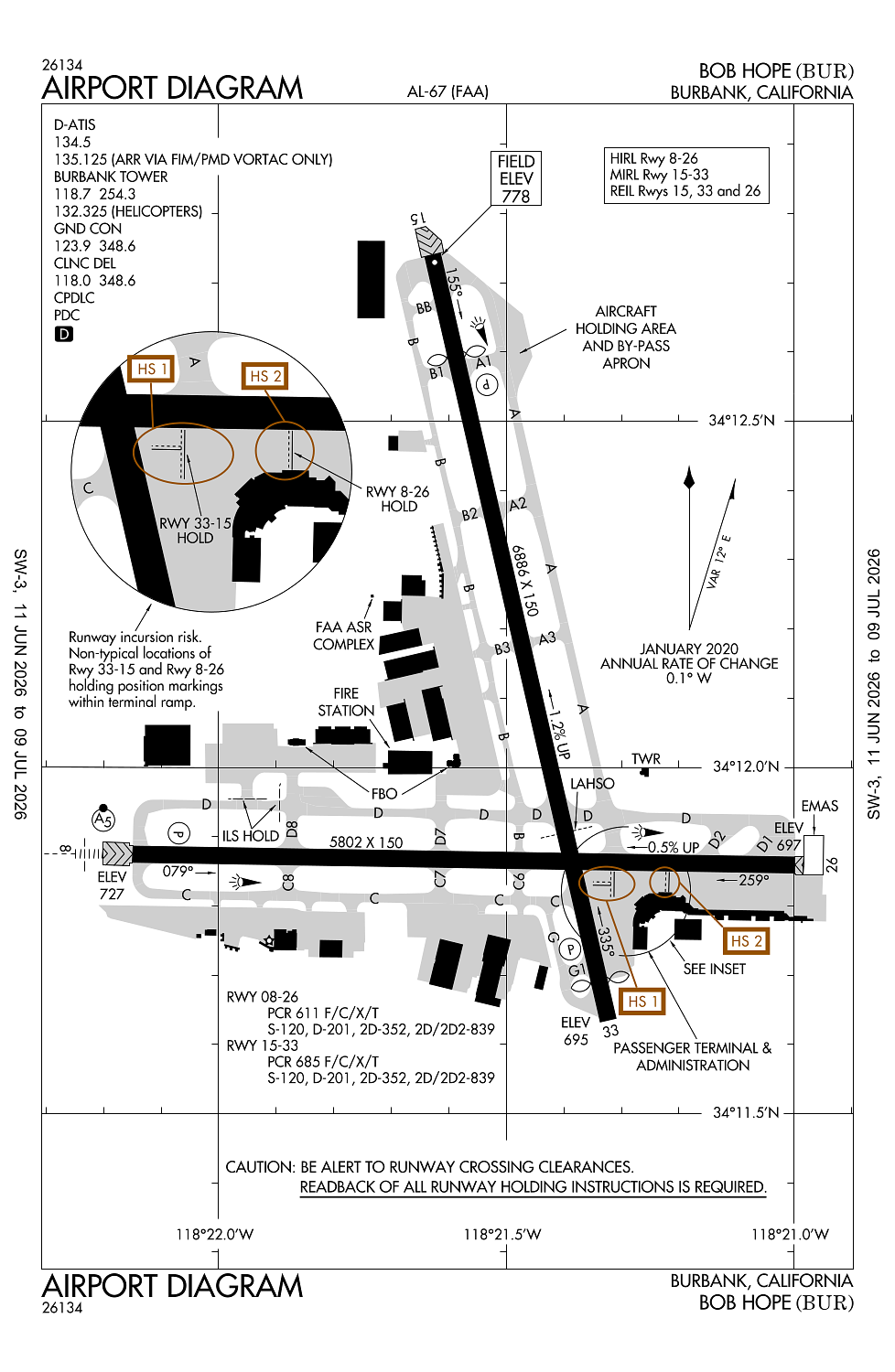
Runway 15/33:
6,886ft
Runway 08/26:
5,802ft
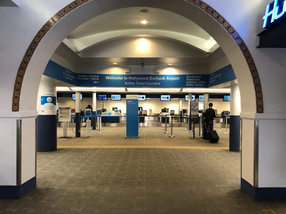
Access: Open to the public
Current Weather — VFR
-
Weather data is strictly informational and not for flight planning purposes.
-
METAR2026-07-15 22:53:00 PDT
Ceiling: Sky clear Wind: 110° @ 8kt Temperature: 78°F Dewpoint: 60°F Weather: N/A Visbility: 10SM Raw:METAR KBUR 160553Z 11008KT 10SM CLR 26/16 A2982 RMK AO2 SLP084 T02560161 10339 20256 52015 $ -
TAF2026-07-15 23:00:00 PDT – 2026-07-16 03:00:00 PDT
Ceiling: Sky clear Wind: 130° @ 8kt Weather: N/A Visbility: 6SM Clouds: @ ft Raw:TAF KBUR 160532Z 1606/1706 13008KT P6SM SKC FM161000 VRB03KT P6SM SKC FM161700 14006KT P6SM SKC FM161800 17012KT P6SM SKC FM170200 13008KT P6SM SKC -
TAF2026-07-16 03:00:00 PDT – 2026-07-16 10:00:00 PDT
Ceiling: Sky clear Wind: Variable Weather: N/A Visbility: 6SM Clouds: @ ft Raw:TAF KBUR 160532Z 1606/1706 13008KT P6SM SKC FM161000 VRB03KT P6SM SKC FM161700 14006KT P6SM SKC FM161800 17012KT P6SM SKC FM170200 13008KT P6SM SKC -
TAF2026-07-16 10:00:00 PDT – 2026-07-16 11:00:00 PDT
Ceiling: Sky clear Wind: 140° @ 6kt Weather: N/A Visbility: 6SM Clouds: @ ft Raw:TAF KBUR 160532Z 1606/1706 13008KT P6SM SKC FM161000 VRB03KT P6SM SKC FM161700 14006KT P6SM SKC FM161800 17012KT P6SM SKC FM170200 13008KT P6SM SKC -
TAF2026-07-16 11:00:00 PDT – 2026-07-16 19:00:00 PDT
Ceiling: Sky clear Wind: 170° @ 12kt Weather: N/A Visbility: 6SM Clouds: @ ft Raw:TAF KBUR 160532Z 1606/1706 13008KT P6SM SKC FM161000 VRB03KT P6SM SKC FM161700 14006KT P6SM SKC FM161800 17012KT P6SM SKC FM170200 13008KT P6SM SKC -
TAF2026-07-16 19:00:00 PDT – 2026-07-16 23:00:00 PDT
Ceiling: Sky clear Wind: 130° @ 8kt Weather: N/A Visbility: 6SM Clouds: @ ft Raw:TAF KBUR 160532Z 1606/1706 13008KT P6SM SKC FM161000 VRB03KT P6SM SKC FM161700 14006KT P6SM SKC FM161800 17012KT P6SM SKC FM170200 13008KT P6SM SKC
Click/tap to add an annotation marker to the map
No webcams added yet.
Remarks
- Estabd prior to 1959.
- Acft in tfc pat (1225 ft agl) at whiteman airpark 5 mi nw.
- Turbulent conds near arpt at times of high winds from north & east. downdrafts/windshear may occur at liftoff or on final.
- Bird activity north end ry 15/33 and west end ry 08/26.
- Rwy 08 clsd tkof acft gtr than 12500 lbs.
Comments