Pirep is a free, collaborative database of all public and private airports. All pilots are welcome to contribute their local knowledge to any airport, no registration required.

No upcoming events. Is anything happening here soon?
Last updated: 2024-01-31 00:40:05 EST
Last updated: 2024-01-31 00:40:05 EST
Airport Statistics
- Fuel pump location
- Crew car availability
- Webcam links
Location:
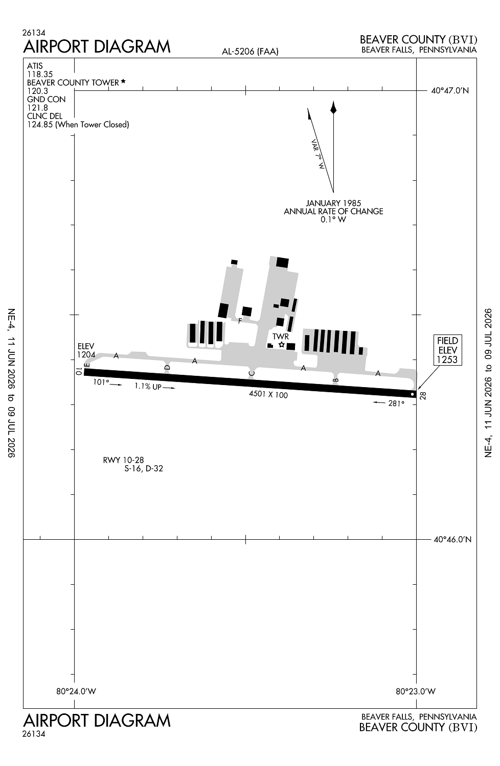
Beaver Falls, PA
Elevation:
1,252ft
Sectional:
Detroit
Activation date:
May 1954
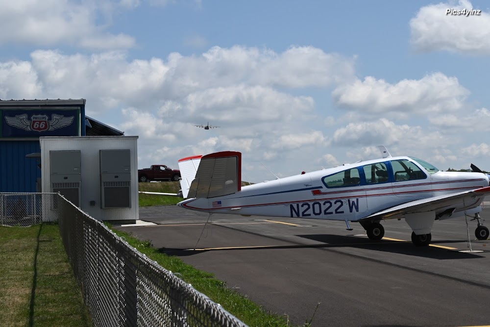
Fuel:
100LL, A, A+ (prices)
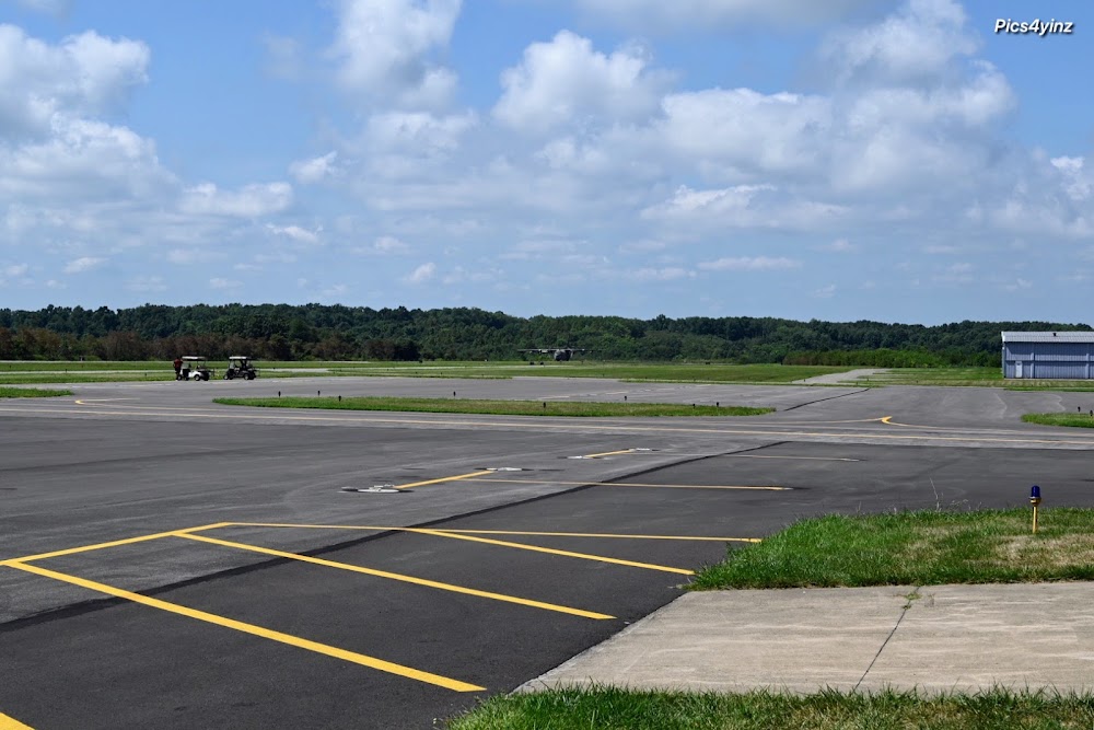
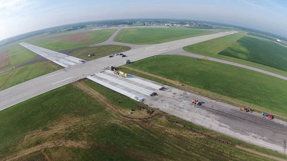
Runway 10/28:
4,501ft
Access: Open to the public
Similar Airports
Current Weather — VFR
-
Weather data is strictly informational and not for flight planning purposes.
-
METAR2026-07-28 21:15:00 EDT
Ceiling: Sky clear Wind: 360° @ 5kt Temperature: 73°F Dewpoint: 65°F Weather: N/A Visbility: 10SM Clouds: Scattered @ 2,100ft, Scattered @ 3,300ft, Scattered @ 4,500ft Raw:METAR KBVI 290115Z AUTO 36005KT 10SM SCT021 SCT033 SCT045 23/19 A2974 RMK AO2 LTG DSNT E T02300185 -
TAF2026-07-28 22:00:00 EDT – 2026-07-29 02:00:00 EDT
Ceiling: 2,500ft Wind: 000° @ kt Weather: N/A Visbility: SM Clouds: Broken @ 2,500ft Raw:TAF KBVI 290130Z 2902/2924 34010KT P6SM SCT025 TEMPO 2902/2906 BKN025 FM290600 32004KT P6SM BKN015 TEMPO 2910/2912 BKN008 FM291500 32008KT P6SM SCT020 BKN040 FM291900 33008G16KT P6SM SCT040 -
TAF2026-07-28 22:00:00 EDT – 2026-07-29 02:00:00 EDT
Ceiling: Sky clear Wind: 340° @ 10kt Weather: N/A Visbility: 6SM Clouds: Scattered @ 2,500ft Raw:TAF KBVI 290130Z 2902/2924 34010KT P6SM SCT025 TEMPO 2902/2906 BKN025 FM290600 32004KT P6SM BKN015 TEMPO 2910/2912 BKN008 FM291500 32008KT P6SM SCT020 BKN040 FM291900 33008G16KT P6SM SCT040 -
TAF2026-07-29 02:00:00 EDT – 2026-07-29 11:00:00 EDT
Ceiling: 1,500ft Wind: 320° @ 4kt Weather: N/A Visbility: 6SM Clouds: Broken @ 1,500ft Raw:TAF KBVI 290130Z 2902/2924 34010KT P6SM SCT025 TEMPO 2902/2906 BKN025 FM290600 32004KT P6SM BKN015 TEMPO 2910/2912 BKN008 FM291500 32008KT P6SM SCT020 BKN040 FM291900 33008G16KT P6SM SCT040 -
TAF2026-07-29 06:00:00 EDT – 2026-07-29 08:00:00 EDT
Ceiling: 800ft Wind: 000° @ kt Weather: N/A Visbility: SM Clouds: Broken @ 800ft Raw:TAF KBVI 290130Z 2902/2924 34010KT P6SM SCT025 TEMPO 2902/2906 BKN025 FM290600 32004KT P6SM BKN015 TEMPO 2910/2912 BKN008 FM291500 32008KT P6SM SCT020 BKN040 FM291900 33008G16KT P6SM SCT040 -
TAF2026-07-29 11:00:00 EDT – 2026-07-29 15:00:00 EDT
Ceiling: 4,000ft Wind: 320° @ 8kt Weather: N/A Visbility: 6SM Clouds: Scattered @ 2,000ft, Broken @ 4,000ft Raw:TAF KBVI 290130Z 2902/2924 34010KT P6SM SCT025 TEMPO 2902/2906 BKN025 FM290600 32004KT P6SM BKN015 TEMPO 2910/2912 BKN008 FM291500 32008KT P6SM SCT020 BKN040 FM291900 33008G16KT P6SM SCT040 -
TAF2026-07-29 15:00:00 EDT – 2026-07-29 20:00:00 EDT
Ceiling: Sky clear Wind: 330° @ 8kt, gusts 16kt Weather: N/A Visbility: 6SM Clouds: Scattered @ 4,000ft Raw:TAF KBVI 290130Z 2902/2924 34010KT P6SM SCT025 TEMPO 2902/2906 BKN025 FM290600 32004KT P6SM BKN015 TEMPO 2910/2912 BKN008 FM291500 32008KT P6SM SCT020 BKN040 FM291900 33008G16KT P6SM SCT040
Click/tap to add an annotation marker to the map
No webcams added yet.
Remarks
- Existed prior to 1959.
- (e94) sawrs.
- Noise abatement procs in efct for deps only, ctc amgr 0800-1600 for dtls at 724-847-4662.
- Atct-ctl. when atct clsd mirl rwy 10/28 & twy lgts oper low intst. incr intst & actvt reil rwy 10 & 28 - ctaf. papi rwy 10 & 28 oper cont.
- Vgsi and glidepath not coincident.
Comments