Pirep is a free, collaborative database of all public and private airports. All pilots are welcome to contribute their local knowledge to any airport, no registration required.
Public
Undocumented
METAR / TAF
Edit Tags
No upcoming events. Is anything happening here soon?
Airport Statistics
- Landing & tie-down fees
- Tags
- Airport map annotations
Location:
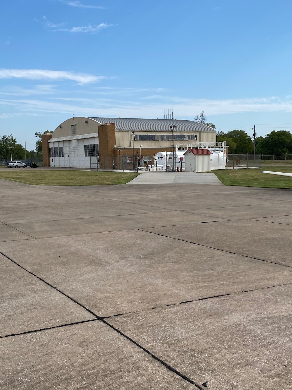
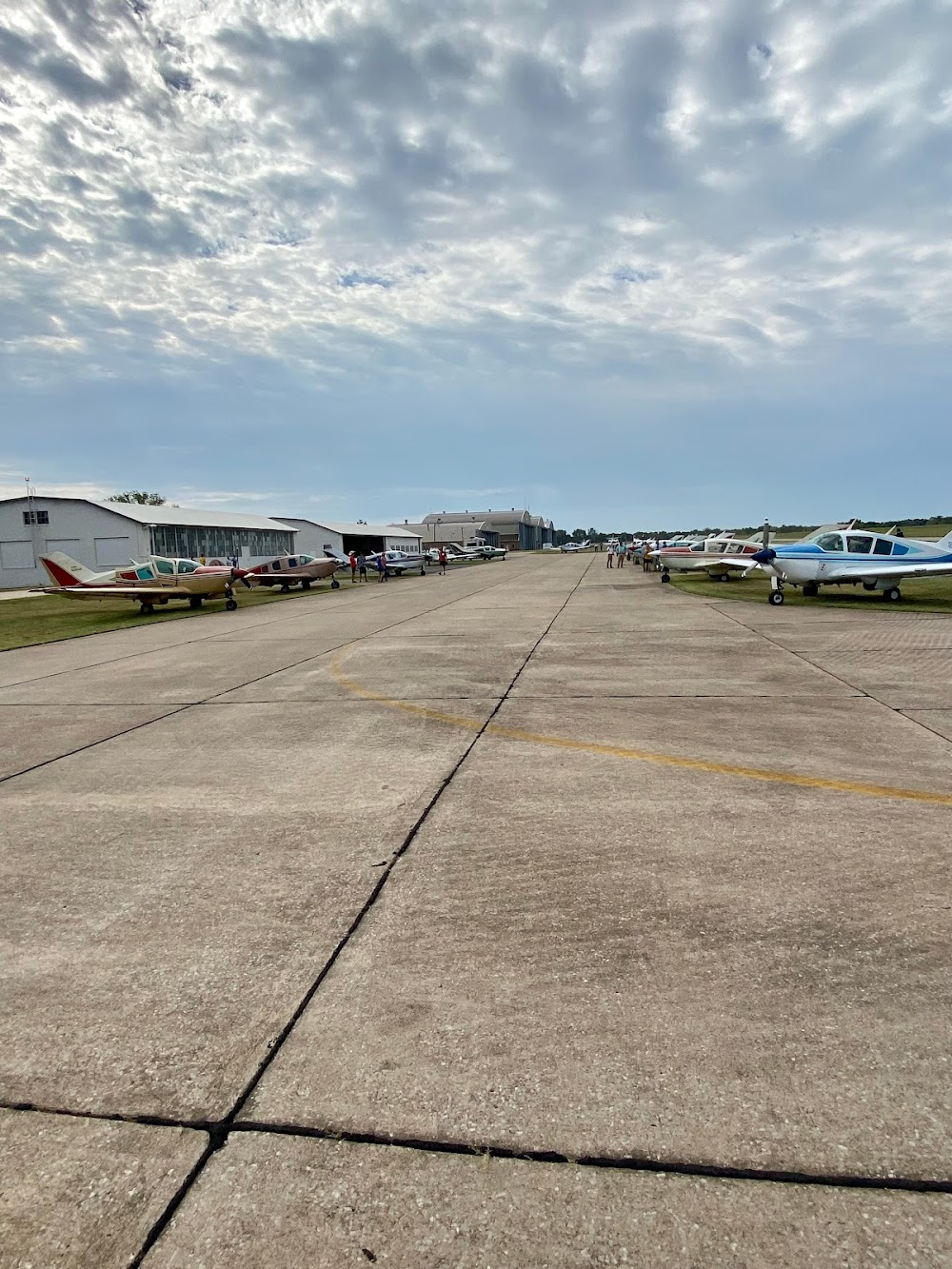
Bartlesville, OK
Elevation:
716ft
Sectional:
Kansas City
Activation date:
Nov 1938
Fuel:
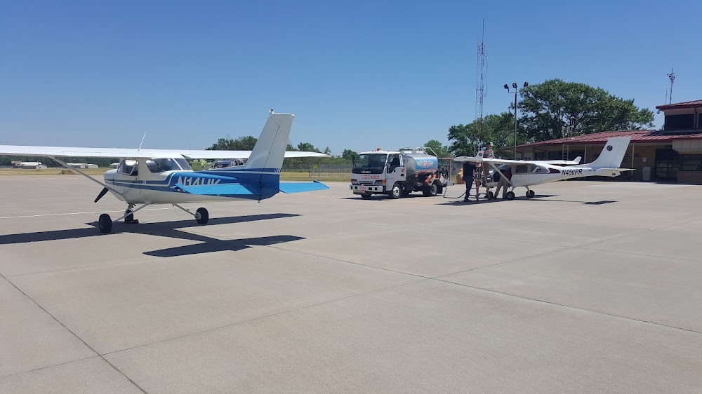
100LL, A+ (prices)
Runway 17/35:
6,850ft
Access: Open to the public
Current Weather — VFR
-
Weather data is strictly informational and not for flight planning purposes.
-
METAR2026-07-20 02:53:00 CDT
Ceiling: Sky clear Wind: Calm Temperature: 75°F Dewpoint: 73°F Weather: N/A Visbility: 10SM Raw:METAR KBVO 200753Z AUTO 00000KT 10SM CLR 24/23 A2992 RMK AO2 SLP121 T02390233 -
TAF2026-07-20 01:00:00 CDT – 2026-07-21 01:00:00 CDT
Ceiling: Sky clear Wind: 190° @ 5kt Weather: N/A Visbility: 6SM Clouds: Few @ 5,000ft, Few @ 25,000ft Raw:TAF KBVO 200527Z 2006/2106 19005KT P6SM FEW050 FEW250
Click/tap to add an annotation marker to the map
No webcams added yet.
Remarks
- Adzy freq 122.825 mnt m-f durg bus hrs.
- For cd if una to ctc on fss freq, ctc kansas city artcc at 913-254-8508.
- Actvt malsr rwy 17; reil rwy 35; papi rwy 17 & 35 - ctaf. mirl rwy 17/35 oper ss to sr & preset low intst, incr intst - ctaf.
- For emerg only 918-350-0076.
Comments