Pirep is a free, collaborative database of all public and private airports. All pilots are welcome to contribute their local knowledge to any airport, no registration required.
No upcoming events. Is anything happening here soon?
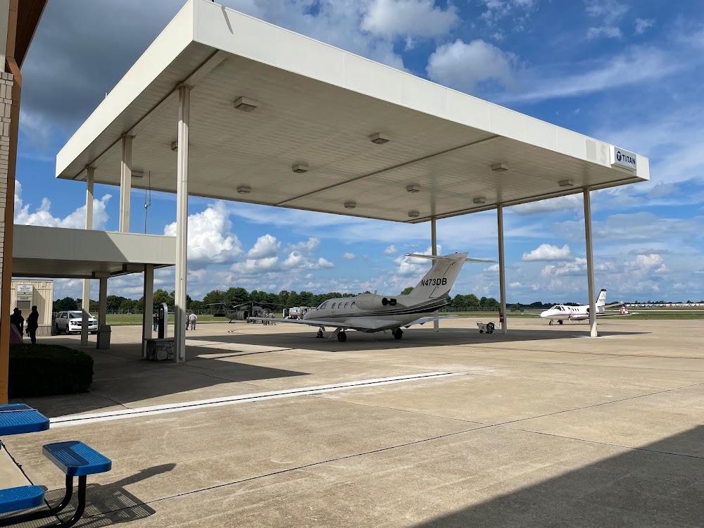
Last updated: 2023-12-12 00:56:47 CST
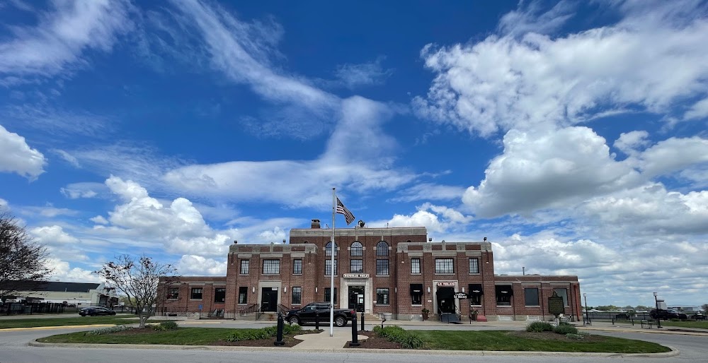
Last updated: 2023-03-31 11:05:53 CDT
Airport Statistics
- WiFi availability
- Webcam links
- Local flying clubs
Location:
Bowling Green, KY
Elevation:
547ft
Sectional:
St Louis
Activation date:
Apr 1940
Fuel:
100LL, A (prices)
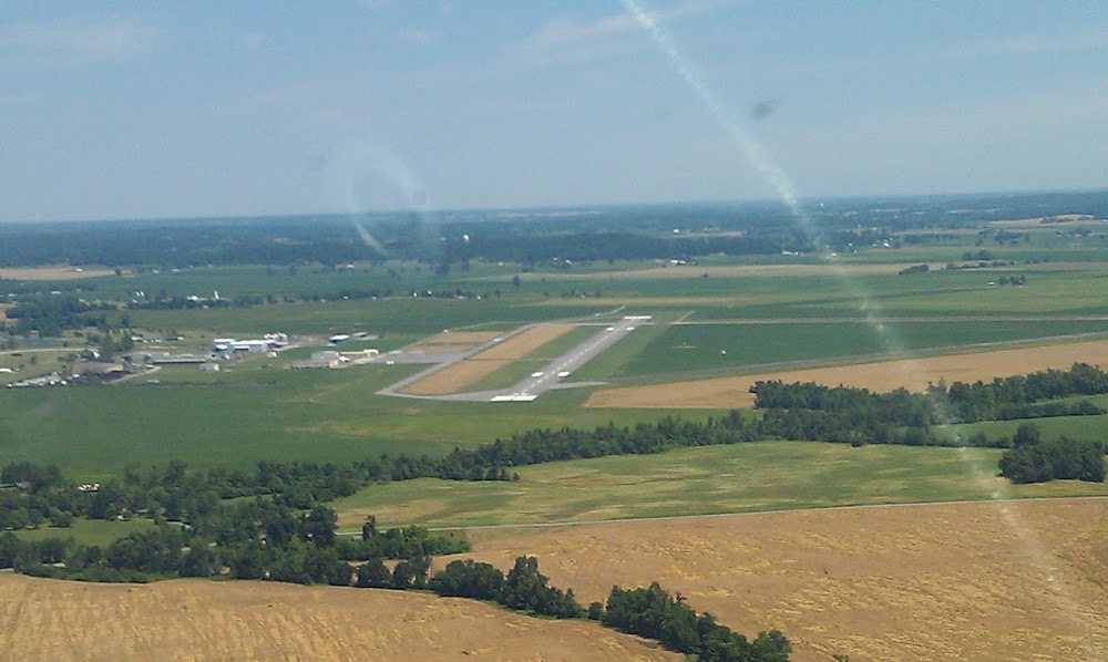
Runway 03/21:
6,501ft
Runway 12/30:
3,956ft
Access: Open to the public
Similar Airports

Current Weather — IFR
-
Weather data is strictly informational and not for flight planning purposes.
-
METAR2026-07-20 07:53:00 CDT
Ceiling: 500ft Wind: 220° @ 4kt Temperature: 75°F Dewpoint: 73°F Weather: N/A Visbility: 10SM Clouds: Overcast @ 500ft Raw:METAR KBWG 201253Z AUTO 22004KT 10SM OVC005 24/23 A2995 RMK AO2 SLP137 T02390233 -
TAF2026-07-20 07:00:00 CDT – 2026-07-20 10:00:00 CDT
Ceiling: 700ft Wind: 200° @ 4kt Weather: N/A Visbility: 6SM Clouds: Broken @ 700ft Raw:TAF KBWG 201139Z 2012/2112 20004KT P6SM BKN007 FM201500 21004KT P6SM SCT007 BKN018 FM201700 23005KT P6SM SCT025 BKN035 FM202100 25005KT P6SM SCT035 -
TAF2026-07-20 10:00:00 CDT – 2026-07-20 12:00:00 CDT
Ceiling: 1,800ft Wind: 210° @ 4kt Weather: N/A Visbility: 6SM Clouds: Scattered @ 700ft, Broken @ 1,800ft Raw:TAF KBWG 201139Z 2012/2112 20004KT P6SM BKN007 FM201500 21004KT P6SM SCT007 BKN018 FM201700 23005KT P6SM SCT025 BKN035 FM202100 25005KT P6SM SCT035 -
TAF2026-07-20 12:00:00 CDT – 2026-07-20 16:00:00 CDT
Ceiling: 3,500ft Wind: 230° @ 5kt Weather: N/A Visbility: 6SM Clouds: Scattered @ 2,500ft, Broken @ 3,500ft Raw:TAF KBWG 201139Z 2012/2112 20004KT P6SM BKN007 FM201500 21004KT P6SM SCT007 BKN018 FM201700 23005KT P6SM SCT025 BKN035 FM202100 25005KT P6SM SCT035 -
TAF2026-07-20 16:00:00 CDT – 2026-07-21 07:00:00 CDT
Ceiling: Sky clear Wind: 250° @ 5kt Weather: N/A Visbility: 6SM Clouds: Scattered @ 3,500ft Raw:TAF KBWG 201139Z 2012/2112 20004KT P6SM BKN007 FM201500 21004KT P6SM SCT007 BKN018 FM201700 23005KT P6SM SCT025 BKN035 FM202100 25005KT P6SM SCT035
Click/tap to add an annotation marker to the map
No webcams added yet.
Remarks
- Existed prior to 1959.
- Ops with more than 30 pax seats 24 hr ppr - amgr.
- Birds on & invof arpt.
- Cnl ifr - louisville fss 122.2.
- For cd ctc memphis artcc at 901-368-8453/8449.
- Bwg rwy 03/21 apch end safety areas contain irregular sfc.
- Actvt reil rwy 03, 21; papi rwy 03, 21; hirl rwy 03/21 - ctaf.
- Longl & transverse cracking; uneven sfc.
Comments