Pirep is a free, collaborative database of all public and private airports. All pilots are welcome to contribute their local knowledge to any airport, no registration required.
Public
Undocumented
Edit Tags
No upcoming events. Is anything happening here soon?
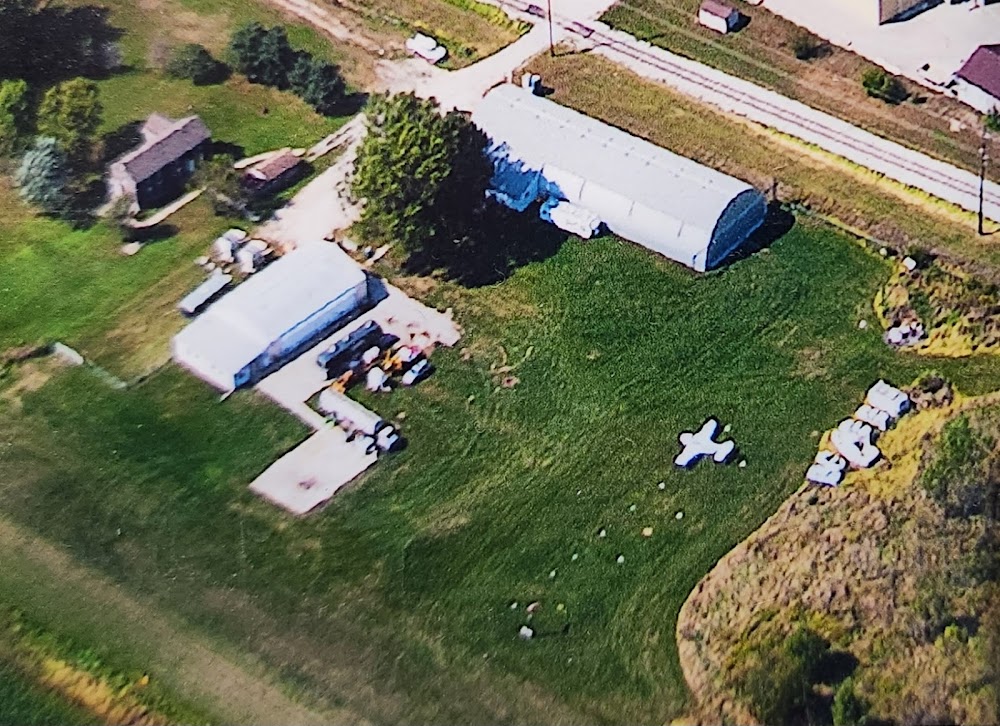
Airport Statistics
- Local flying clubs
- Crew car availability
- Fuel pump location
Location:
Amana, IA
Elevation:
712ft
Sectional:
Chicago
Activation date:
Dec 1956
Fuel:
None
Runway 08/26:
2,600ft
Access: Open to the public
This airport is privately owned but open to the public.
Click/tap to add an annotation marker to the map
No webcams added yet.
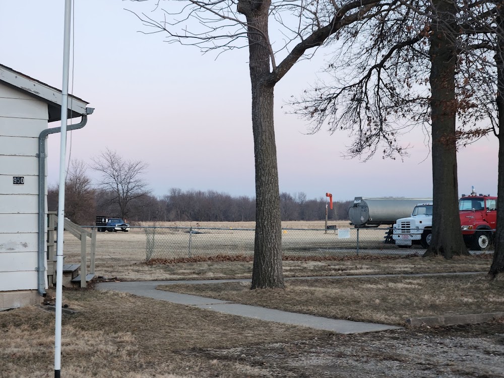
Remarks
- Prvdd apchs maintd for a minimum 20:1 glide slope; trsnl sfc maintd for a 7:1 slope; and grvl road which crosses rwy is clsd and barricaded to prohibit unauthorized crossing and access to rwy.
- Ditches at ry edges.
- Trees both sides of approach to ry 26 end penetrate the transitional sfc. tree groves north of ry 08/26 penetrate the transitional sfc.
- Arpt clsd fm first snow fall to early spring.
- Lndg fee.
- For cd ctc chicago artcc at 630-906-8921.
- Deer invof
- Ultralight activity discouraged.
Comments