Pirep is a free, collaborative database of all public and private airports. All pilots are welcome to contribute their local knowledge to any airport, no registration required.


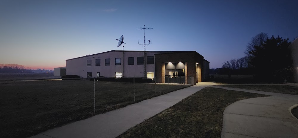

Public
Undocumented
Edit Tags
No upcoming events. Is anything happening here soon?
Airport Statistics
- WiFi availability
- Crew car availability
- Airport map annotations
Location:
Berrien Springs, MI
Elevation:
673ft
Sectional:
Chicago
Activation date:
Jul 1970
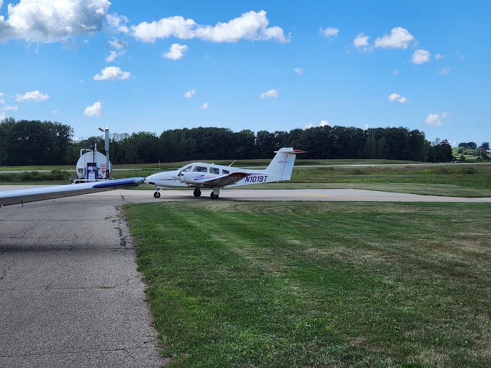
Fuel:
100LL
Runway 13/31:
4,148ft
Runway 03/21:
2,298ft
Access: Open to the public
This airport is privately owned but open to the public.
Click/tap to add an annotation marker to the map
No webcams added yet.
Remarks
- Rwy 03/21 lcl use only; not state licensed.
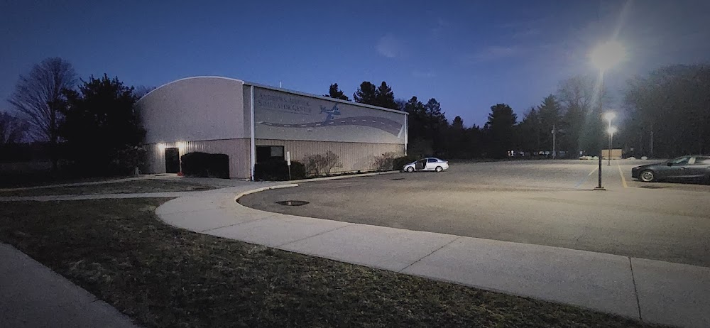
- Admin bldg aces: press v, then iii & ii simul, then i.
- Deer, birds, & wildlife on & invof arpt.
- Rwy 13/31: 25 ft drop off, 55 ft dist fm nw end; 15 ft drop off, 0-400 ft dist fm se end.
- For cd ctc south bend apch at 574-251-2609, when apch clsd ctc chicago artcc at 630-906-8921.
- Actvt nstd lirl rwy 13/31 - ctaf.
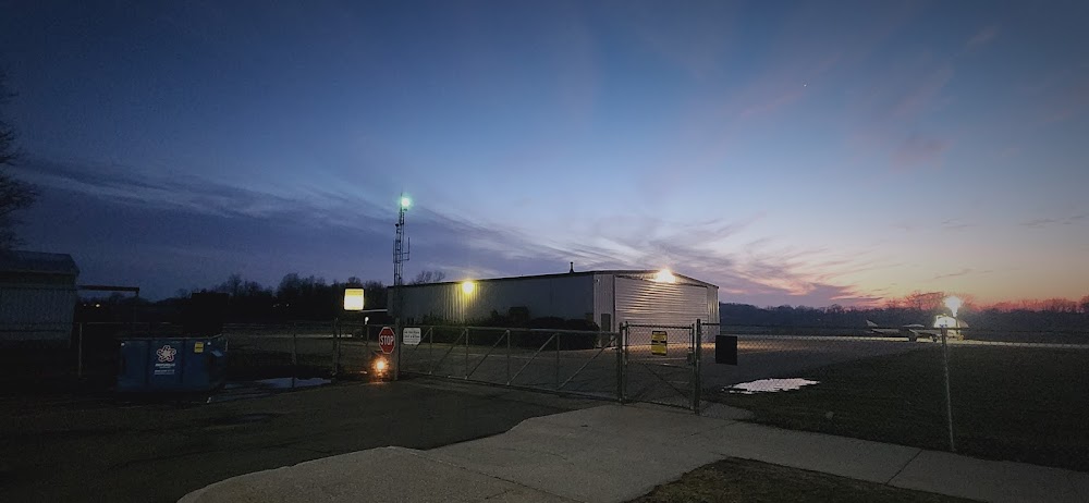
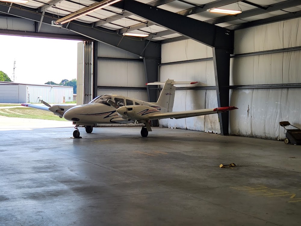
- Call ahd for hngr storage.
- Cell.
Comments