Pirep is a free, collaborative database of all public and private airports. All pilots are welcome to contribute their local knowledge to any airport, no registration required.
Public
Undocumented
METAR / TAF
Edit Tags
No upcoming events. Is anything happening here soon?
Airport Statistics
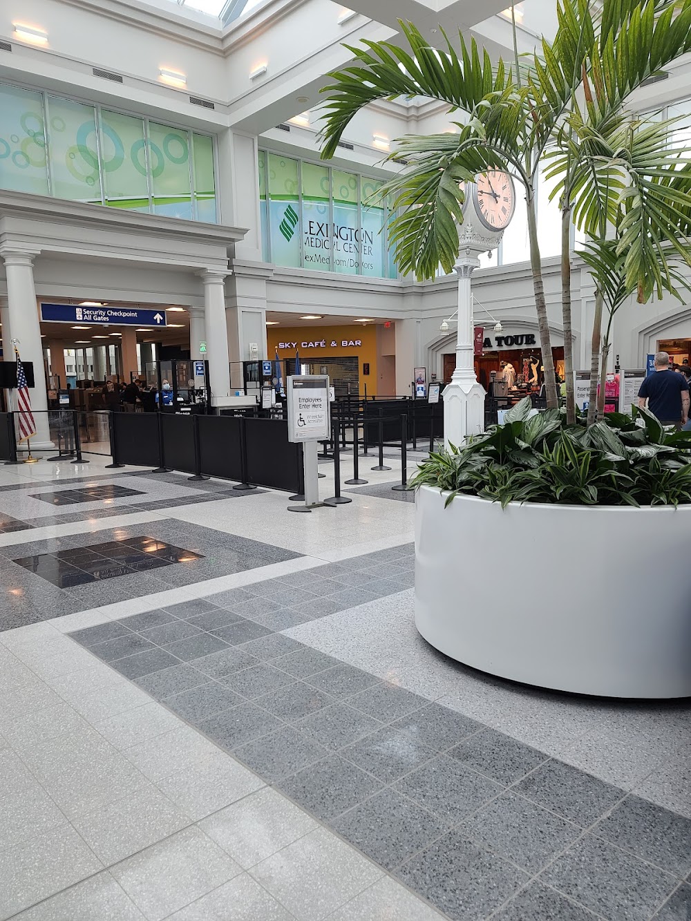
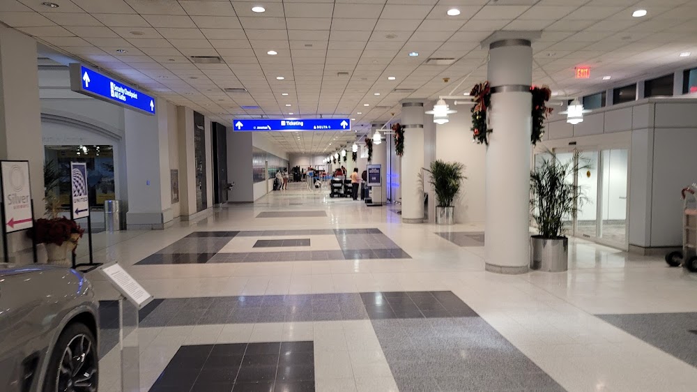
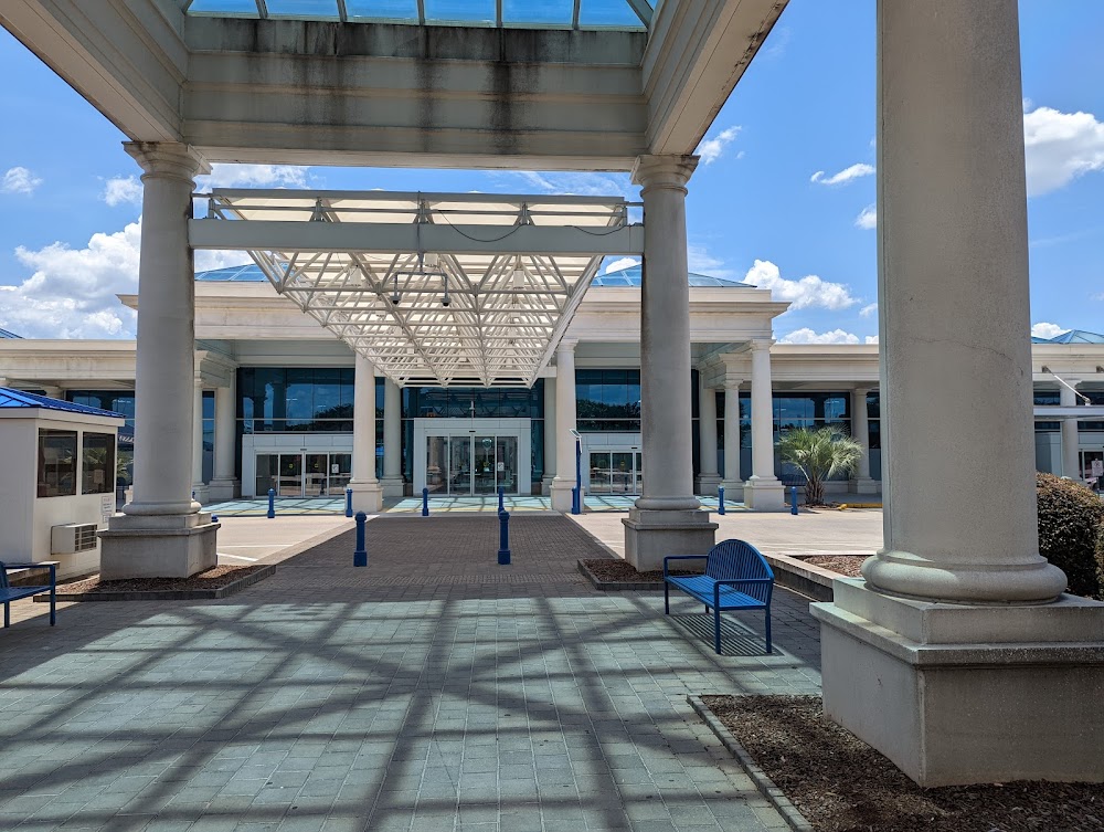
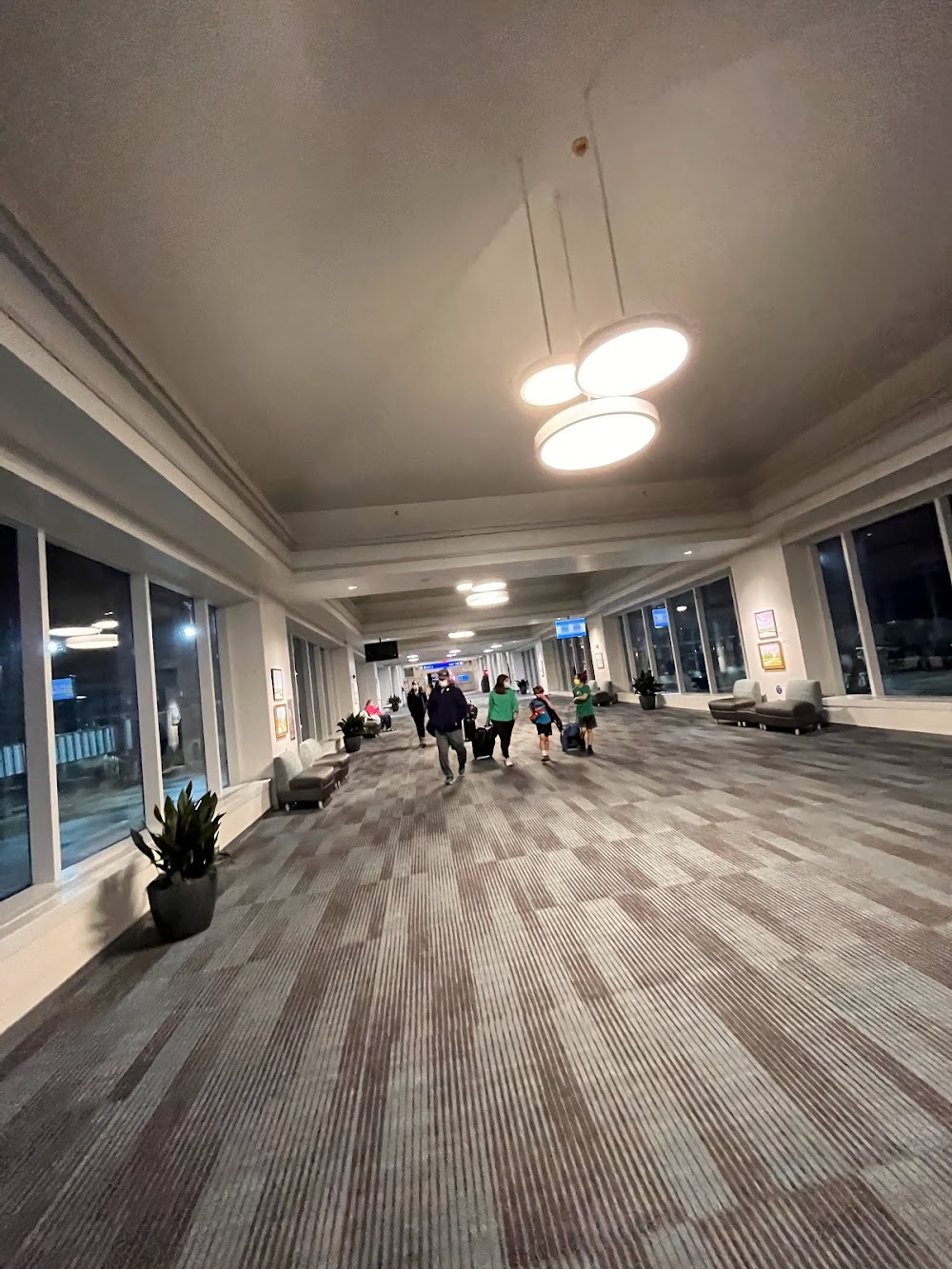
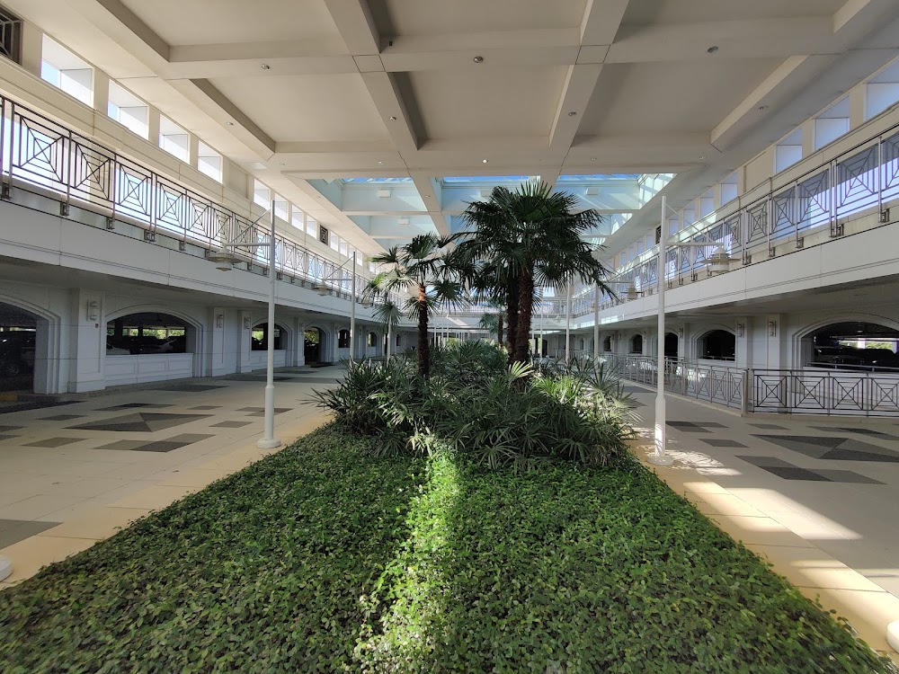
- General description
- Crew car availability
- Webcam links
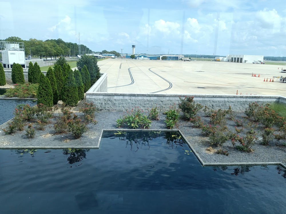
Location:
Columbia, SC
Elevation:
235ft
Sectional:
Charlotte
Activation date:
Jun 1942
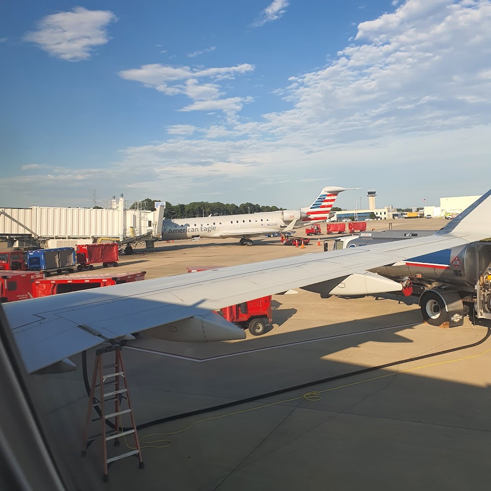
Fuel:
100LL, A (prices)
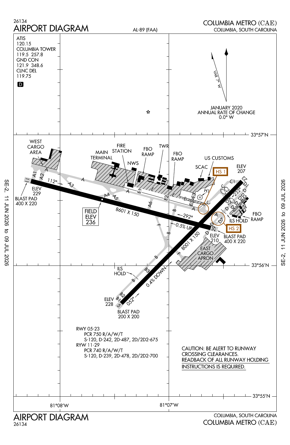
Runway 11/29:
8,601ft
Runway 05/23:
8,001ft
Runway H1:
50ft
Access: Open to the public
Current Weather — VFR
-
Weather data is strictly informational and not for flight planning purposes.
-
METAR2026-07-16 11:56:00 EDT
Ceiling: Sky clear Wind: Variable Temperature: 93°F Dewpoint: 69°F Weather: N/A Visbility: 10SM Clouds: Scattered @ 4,500ft Raw:METAR KCAE 161556Z VRB04KT 10SM SCT045 34/21 A3003 RMK AO2 SLP165 T03390211 -
TAF2026-07-16 08:00:00 EDT – 2026-07-16 11:00:00 EDT
Ceiling: Sky clear Wind: Variable Weather: N/A Visbility: 6SM Clouds: @ ft Raw:TAF KCAE 161135Z 1612/1712 VRB03KT P6SM SKC TEMPO 1612/1613 5SM BR FM161500 22007KT P6SM SCT050 FM170200 VRB03KT P6SM SKC -
TAF2026-07-16 08:00:00 EDT – 2026-07-16 09:00:00 EDT
Ceiling: Sky clear Wind: 000° @ kt Weather: Mist Visbility: 5SM Raw:TAF KCAE 161135Z 1612/1712 VRB03KT P6SM SKC TEMPO 1612/1613 5SM BR FM161500 22007KT P6SM SCT050 FM170200 VRB03KT P6SM SKC -
TAF2026-07-16 11:00:00 EDT – 2026-07-16 22:00:00 EDT
Ceiling: Sky clear Wind: 220° @ 7kt Weather: N/A Visbility: 6SM Clouds: Scattered @ 5,000ft Raw:TAF KCAE 161135Z 1612/1712 VRB03KT P6SM SKC TEMPO 1612/1613 5SM BR FM161500 22007KT P6SM SCT050 FM170200 VRB03KT P6SM SKC -
TAF2026-07-16 22:00:00 EDT – 2026-07-17 08:00:00 EDT
Ceiling: Sky clear Wind: Variable Weather: N/A Visbility: 6SM Clouds: @ ft Raw:TAF KCAE 161135Z 1612/1712 VRB03KT P6SM SKC TEMPO 1612/1613 5SM BR FM161500 22007KT P6SM SCT050 FM170200 VRB03KT P6SM SKC
Click/tap to add an annotation marker to the map
No webcams added yet.
Remarks
- Arpt existed prior to 1958.
- Fee for coml acft over 15000 lbs.
- Oprn of ultralight vehicles prohibited.
- Sports complex with nmrs flood lgts aprxly 6500 ft from apch end rwy 11.
- Noise abatement proc: no turns blw 1000 ft for turbine eng acft unless dctd by atc.
Comments