Pirep is a free, collaborative database of all public and private airports. All pilots are welcome to contribute their local knowledge to any airport, no registration required.
Public
Undocumented
METAR / TAF
Edit Tags
No upcoming events. Is anything happening here soon?
Airport Statistics
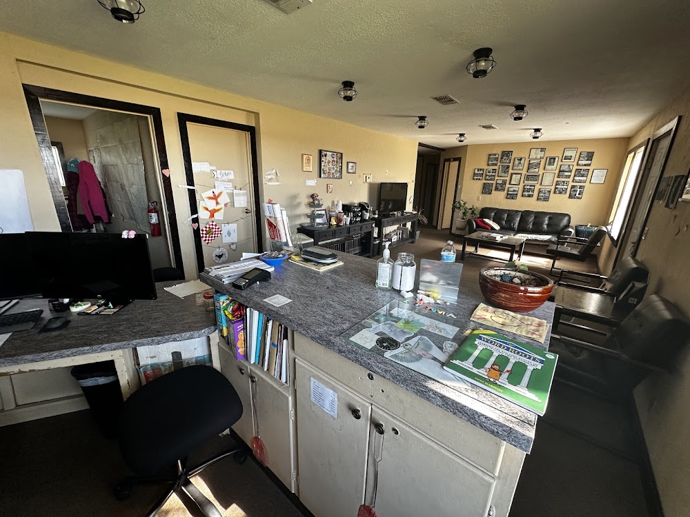
- Local flying clubs
- Crew car availability
- Airport map annotations
Location:
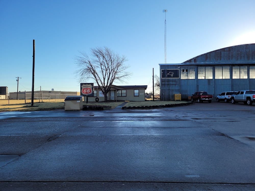
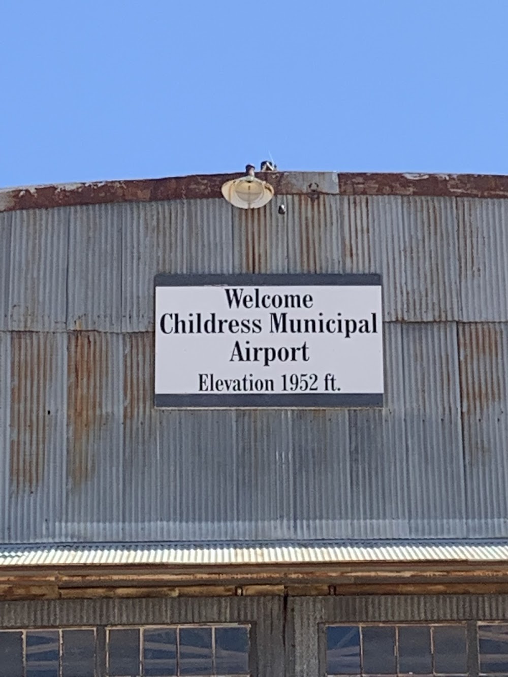
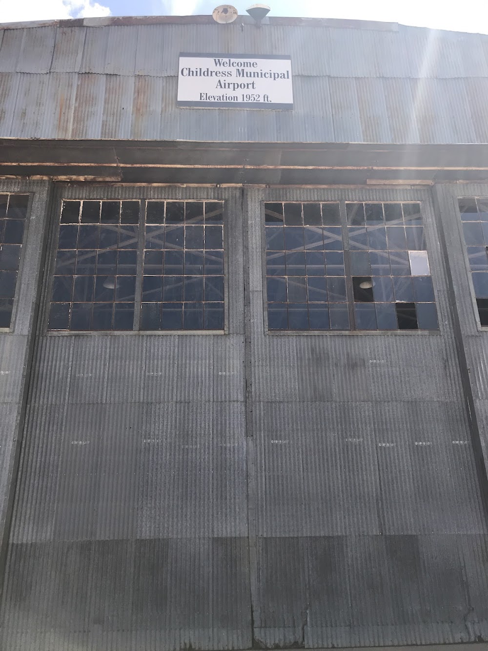
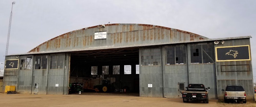
Childress, TX
Elevation:
1,953ft
Sectional:
Dallas Ft Worth
Activation date:
Jul 1943
Fuel:
100LL, A1+ (prices)
Runway 18/36:
5,949ft
Runway 04/22:
4,425ft
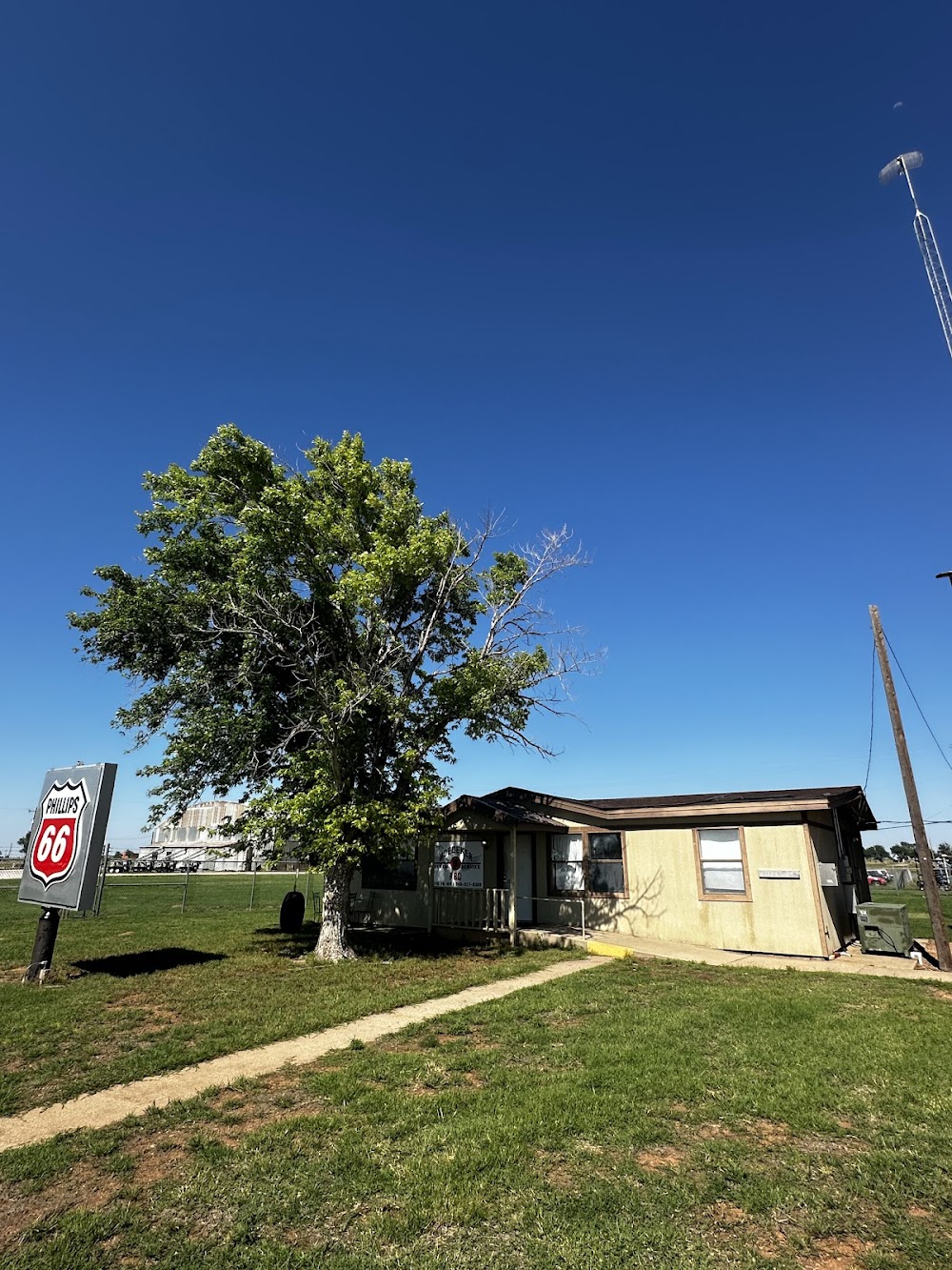
Access: Open to the public
Current Weather — VFR
-
Weather data is strictly informational and not for flight planning purposes.
-
METAR2026-07-15 22:53:00 CDT
Ceiling: Sky clear Wind: 150° @ 6kt Temperature: 78°F Dewpoint: 62°F Weather: N/A Visbility: 10SM Raw:METAR KCDS 160353Z AUTO 15006KT 10SM CLR 26/17 A3006 RMK AO2 SLP154 T02560172 -
TAF2026-07-15 19:00:00 CDT – 2026-07-16 06:00:00 CDT
Ceiling: Sky clear Wind: 140° @ 8kt Weather: N/A Visbility: 6SM Clouds: Few @ 10,000ft Raw:TAF KCDS 152320Z 1600/1624 14008KT P6SM FEW100 FM161100 17011KT P6SM BKN050 -
TAF2026-07-16 06:00:00 CDT – 2026-07-16 19:00:00 CDT
Ceiling: 5,000ft Wind: 170° @ 11kt Weather: N/A Visbility: 6SM Clouds: Broken @ 5,000ft Raw:TAF KCDS 152320Z 1600/1624 14008KT P6SM FEW100 FM161100 17011KT P6SM BKN050
Click/tap to add an annotation marker to the map
No webcams added yet.
Remarks
- This airport has been surveyed by the national geodetic survey.
- Some twys rough due to grass & weed encroachment.
- Agriculture opns near all paved sfcs.
- For cd ctc fort worth artcc at 817-858-7584.
- Rwy 18/36, nmrs lgts misg, out, incor color or orientation.
- Hold line signs faded. twy guidance sign faded.
- Mirl rwy 18/36 preset low intst; to incr intst actvt - ctaf.
- Kevin hodges, city mgr.
Comments