Pirep is a free, collaborative database of all public and private airports. All pilots are welcome to contribute their local knowledge to any airport, no registration required.
Public
Undocumented
Edit Tags
No upcoming events. Is anything happening here soon?
Airport Statistics
- Transient parking location
- General description
- Local flying clubs
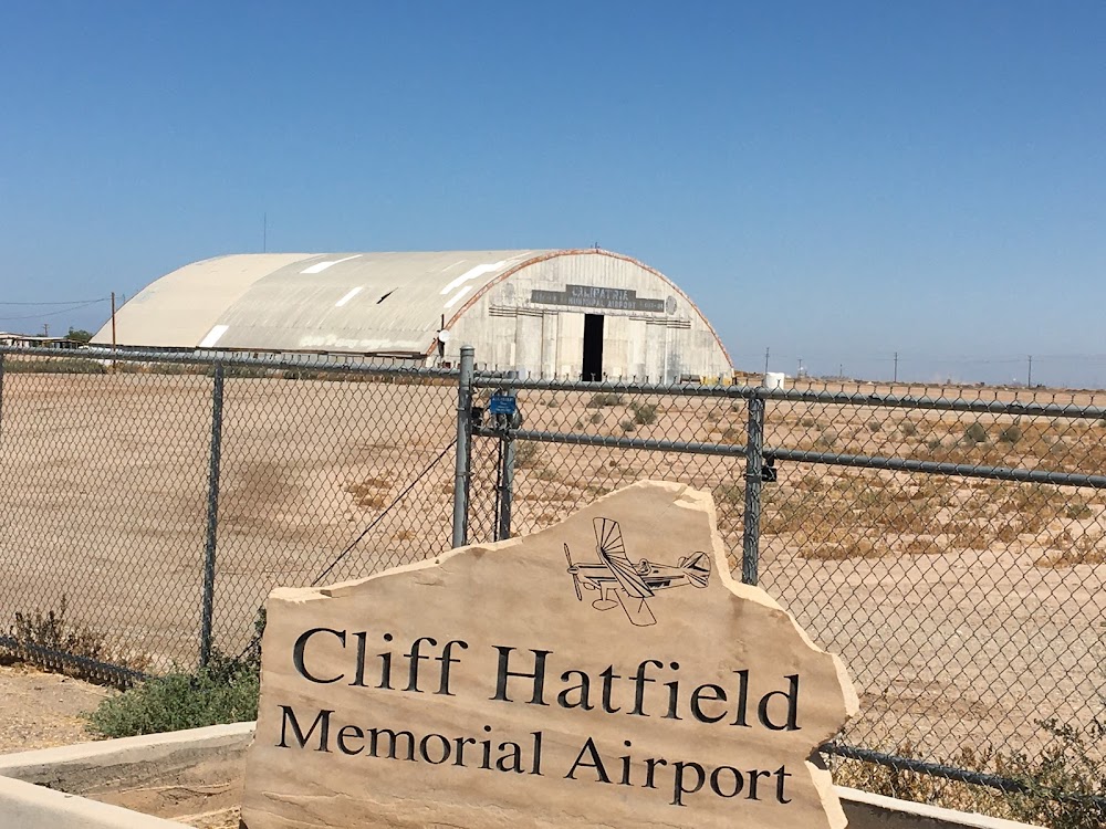
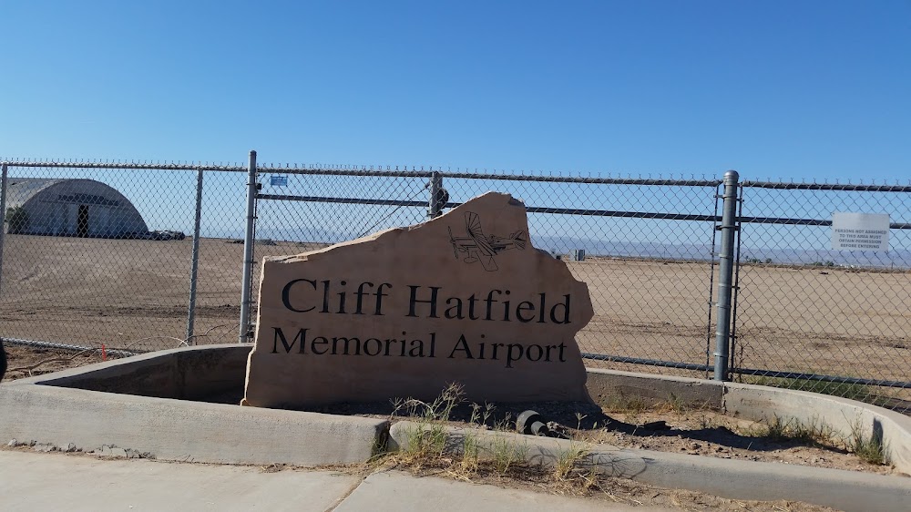
Location:
Calipatria, CA
Elevation:
-181ft
Sectional:
Los Angeles
Activation date:
Nov 1941
Fuel:
None
Runway 08/26:
3,423ft
Access: Open to the public
Click/tap to add an annotation marker to the map
No webcams added yet.
Remarks
- This airport has been surveyed by the national geodetic survey.
- Parallel twy closed indefly.
- Obstn part 77 +184' lgtd flag pole 800' se of arpt.
- For cd ctc yuma cerap at 928-269-9569.
- Fire dept ofc in calipatria. cell phone 760-791-0296.
- Approach slope 21:1 based on dsplcd thr
- Rwy 26 +3 ft fence 150 ft right, fm 260-500 ft fm thld.
Comments