Pirep is a free, collaborative database of all public and private airports. All pilots are welcome to contribute their local knowledge to any airport, no registration required.


Public
Undocumented
METAR / TAF
Edit Tags
No upcoming events. Is anything happening here soon?
Airport Statistics
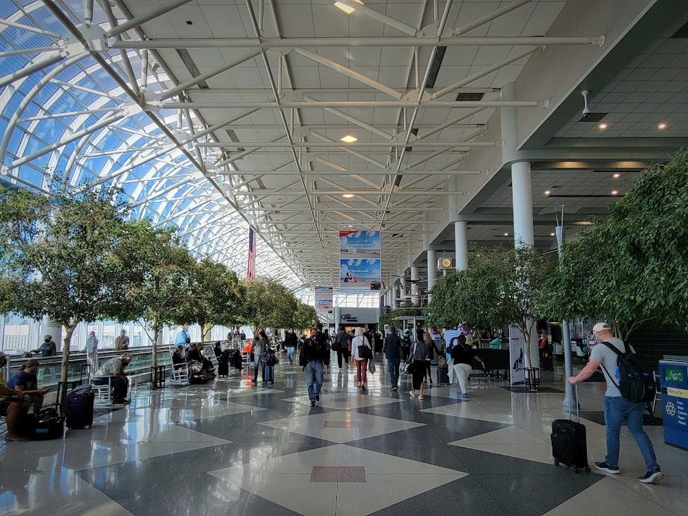
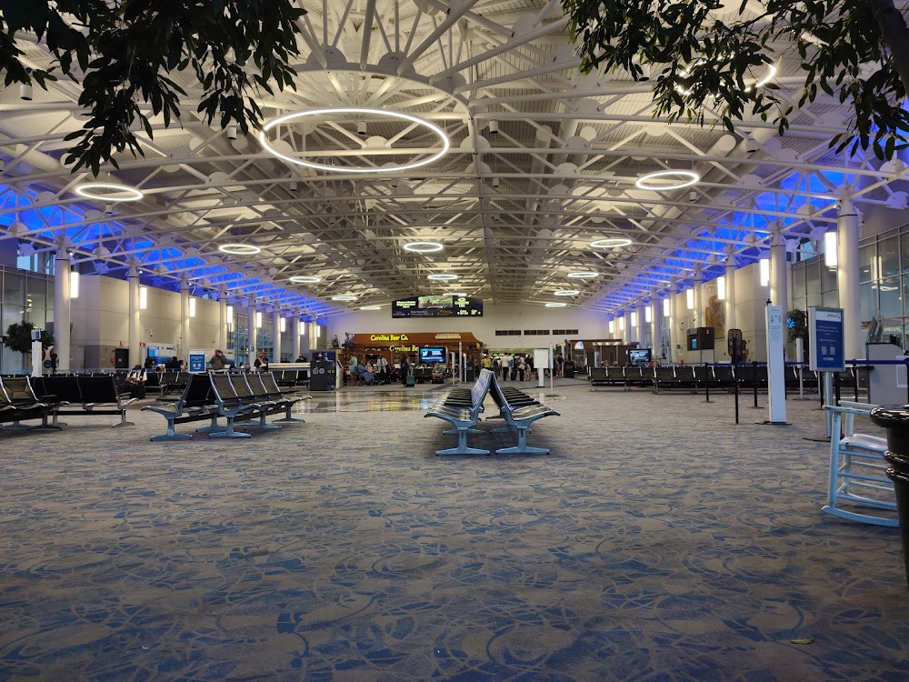
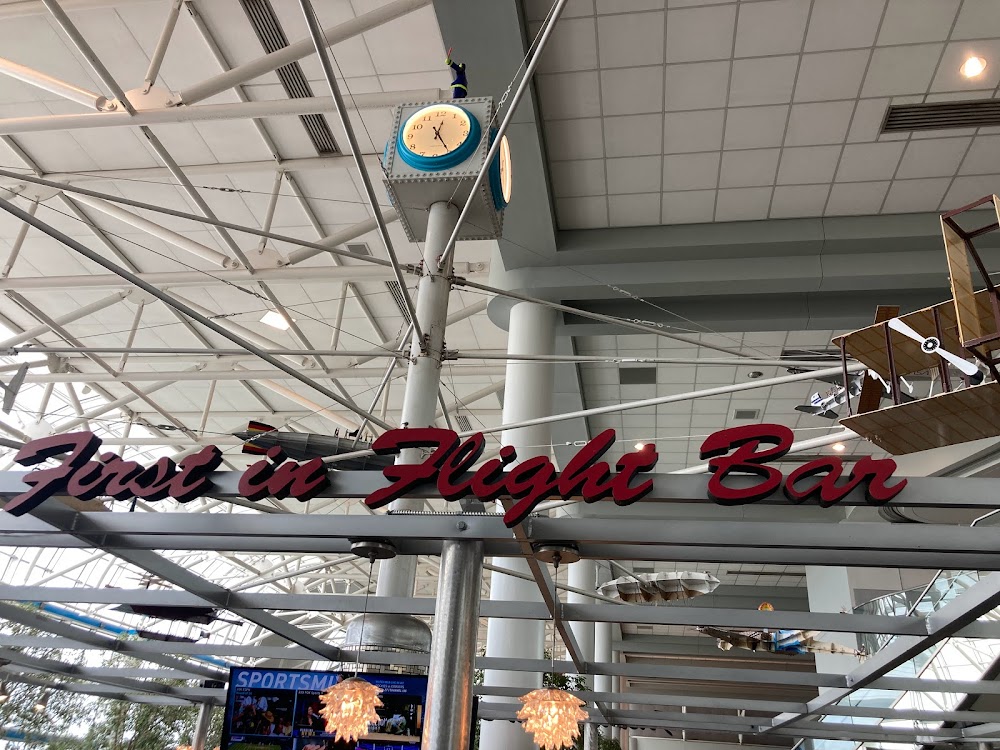
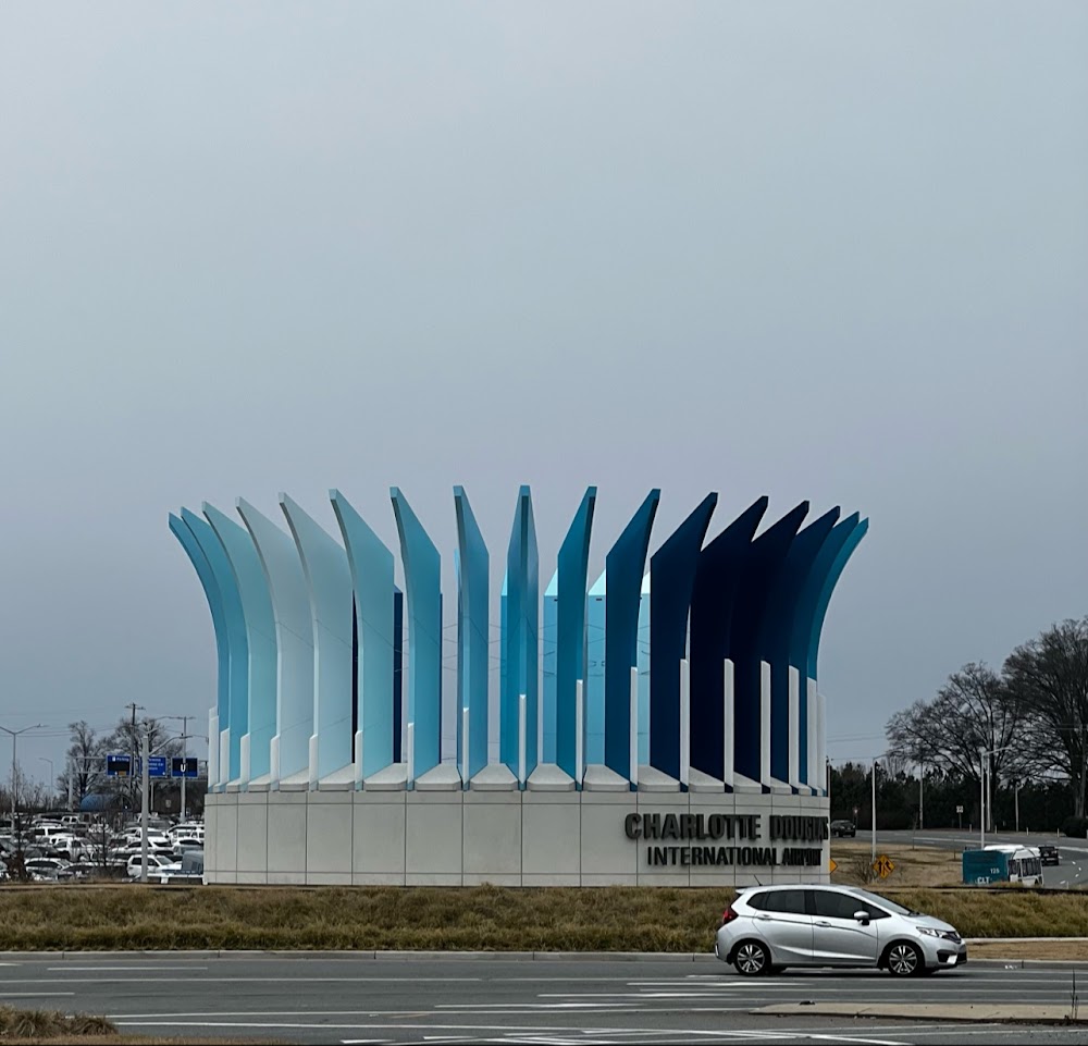
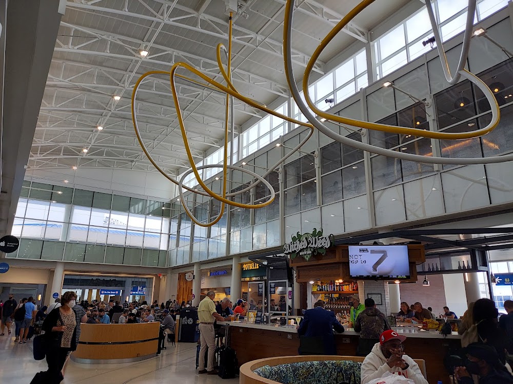
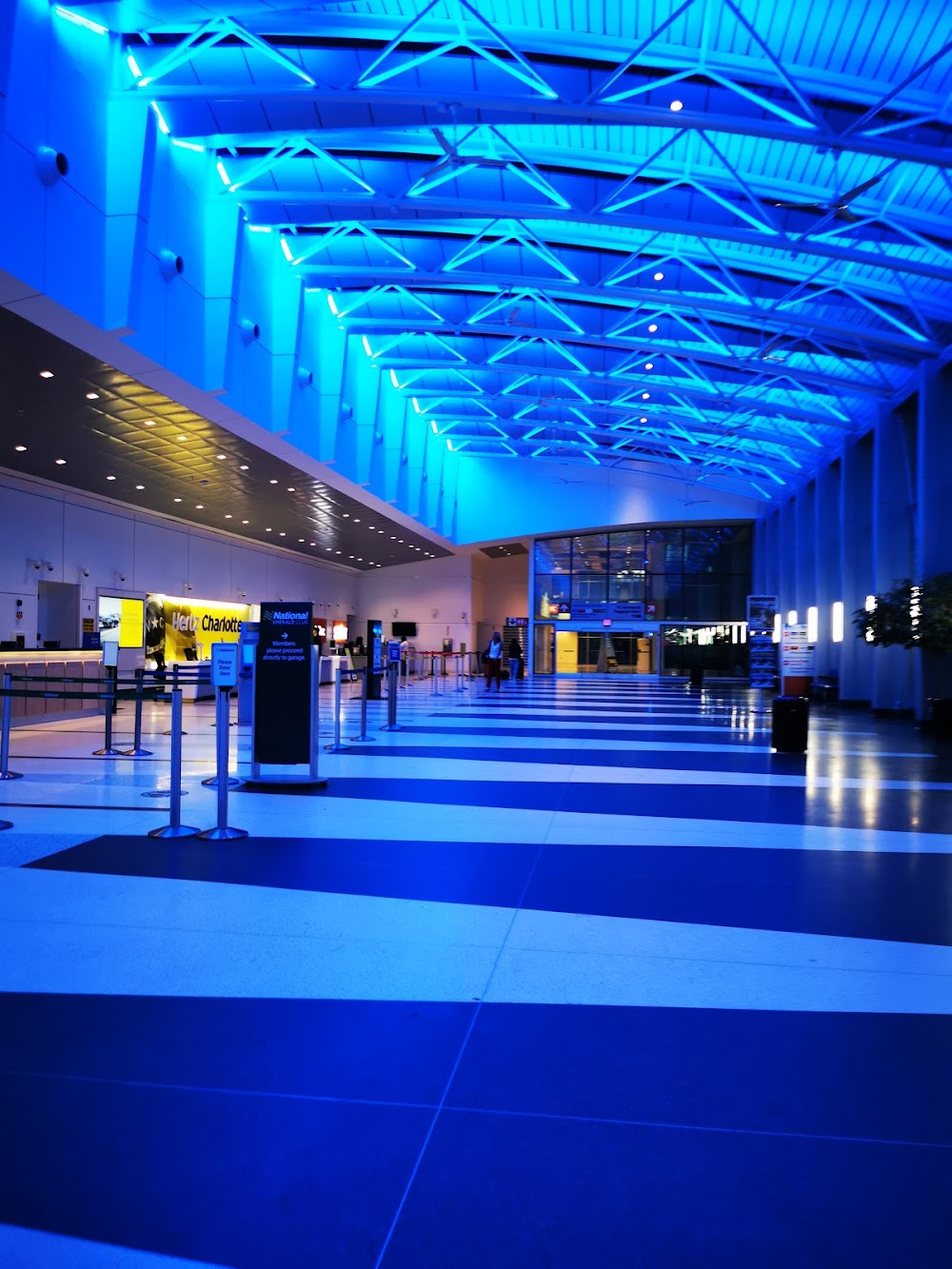
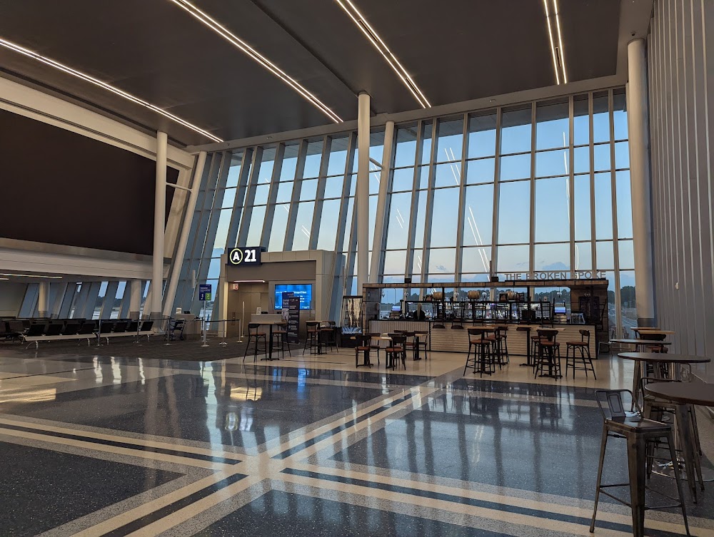
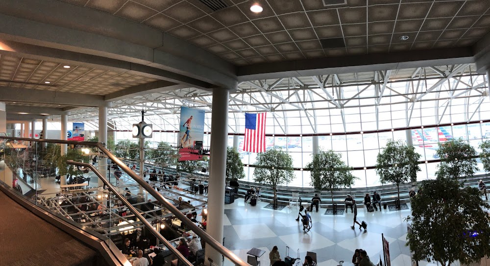
- Airport photos
- Landing & tie-down fees
- Tags
Location:
Charlotte, NC
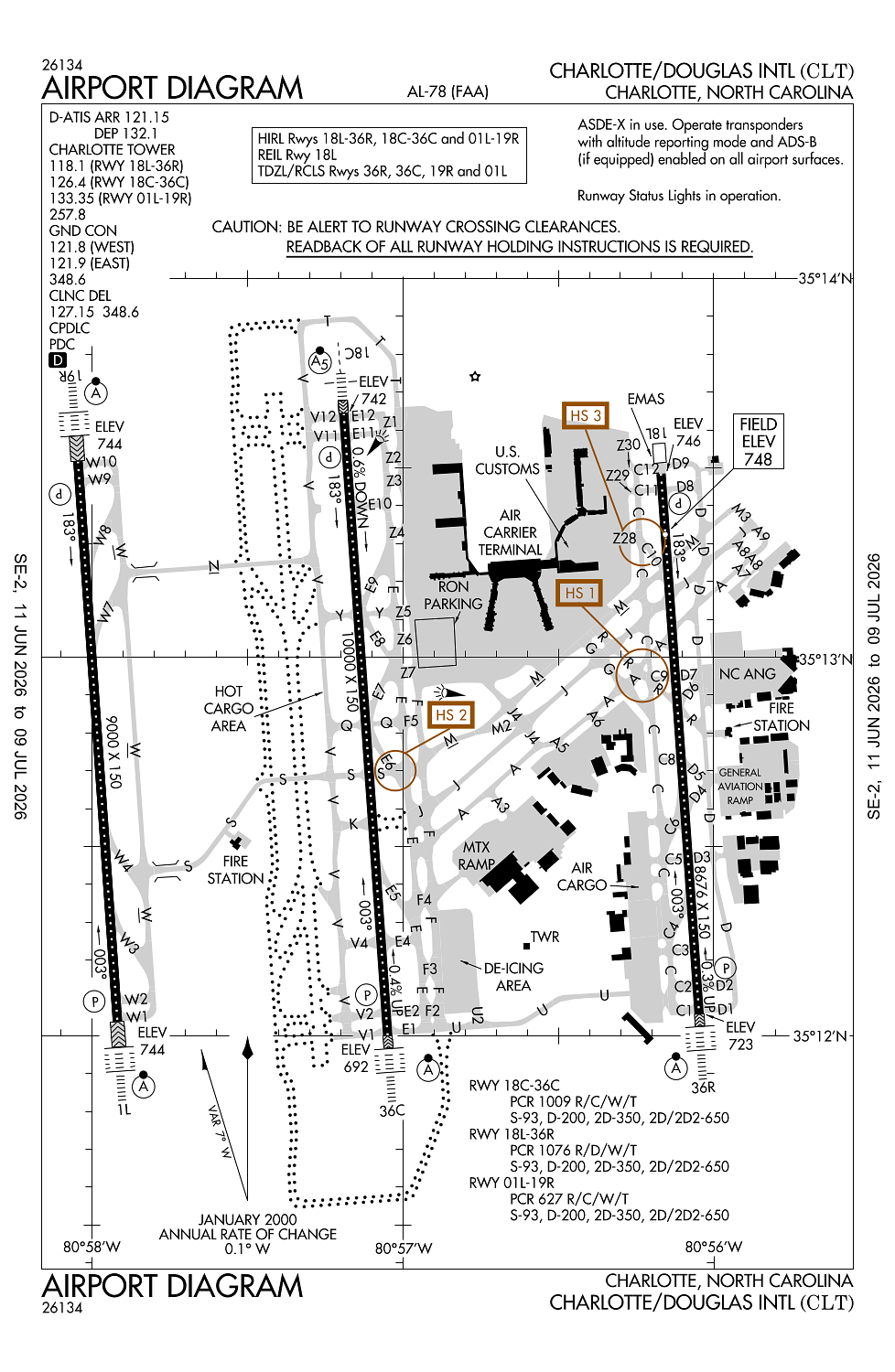
Elevation:
747ft
Sectional:
Charlotte
Activation date:
Sep 1937
Fuel:
100LL, A, A++ (prices)
Runway 01R/19L:
10,000ft
Runway 18C/36C:
10,000ft
Runway 01L/19R:
9,000ft
Runway 18R/36L:
9,000ft
Runway 18L/36R:
8,676ft
Runway 05/23:
7,502ft
Access: Open to the public
Current Weather — VFR
-
Weather data is strictly informational and not for flight planning purposes.
-
METAR2026-07-17 01:52:00 EDT
Ceiling: 25,000ft Wind: 280° @ 3kt Temperature: 78°F Dewpoint: 71°F Weather: N/A Visbility: 10SM Clouds: Broken @ 25,000ft Raw:METAR KCLT 170552Z 28003KT 10SM BKN250 26/22 A3003 RMK AO2 SLP171 T02610222 10333 20261 50004 -
TAF2026-07-17 02:00:00 EDT – 2026-07-17 09:00:00 EDT
Ceiling: 25,000ft Wind: 280° @ 5kt Weather: N/A Visbility: 6SM Clouds: Few @ 6,000ft, Broken @ 25,000ft Raw:TAF KCLT 170530Z 1706/1812 28005KT P6SM FEW060 BKN250 FM171300 03005KT P6SM FEW060 BKN250 FM172100 25005KT P6SM SCT060 BKN250 FM180600 20004KT P6SM SCT250 -
TAF2026-07-17 09:00:00 EDT – 2026-07-17 17:00:00 EDT
Ceiling: 25,000ft Wind: 030° @ 5kt Weather: N/A Visbility: 6SM Clouds: Few @ 6,000ft, Broken @ 25,000ft Raw:TAF KCLT 170530Z 1706/1812 28005KT P6SM FEW060 BKN250 FM171300 03005KT P6SM FEW060 BKN250 FM172100 25005KT P6SM SCT060 BKN250 FM180600 20004KT P6SM SCT250 -
TAF2026-07-17 17:00:00 EDT – 2026-07-18 02:00:00 EDT
Ceiling: 25,000ft Wind: 250° @ 5kt Weather: N/A Visbility: 6SM Clouds: Scattered @ 6,000ft, Broken @ 25,000ft Raw:TAF KCLT 170530Z 1706/1812 28005KT P6SM FEW060 BKN250 FM171300 03005KT P6SM FEW060 BKN250 FM172100 25005KT P6SM SCT060 BKN250 FM180600 20004KT P6SM SCT250 -
TAF2026-07-18 02:00:00 EDT – 2026-07-18 08:00:00 EDT
Ceiling: Sky clear Wind: 200° @ 4kt Weather: N/A Visbility: 6SM Clouds: Scattered @ 25,000ft Raw:TAF KCLT 170530Z 1706/1812 28005KT P6SM FEW060 BKN250 FM171300 03005KT P6SM FEW060 BKN250 FM172100 25005KT P6SM SCT060 BKN250 FM180600 20004KT P6SM SCT250
Click/tap to add an annotation marker to the map
No webcams added yet.
Remarks
- Arpt existed prior to 1958.
- Liquid oxygen also avbl.
- Ry sfc cond info durg duty hrs phone ang ops 704-391-9177 or airborne 292.25.
- Be alert for flocks of migratory birds on & invof arpt.
- Asde-x in use. operate transponders with altitude reporting mode and ads-b (if equipped) enabled on all airport surfaces.
Comments