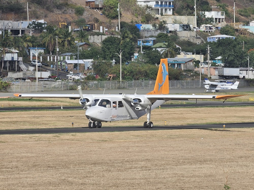
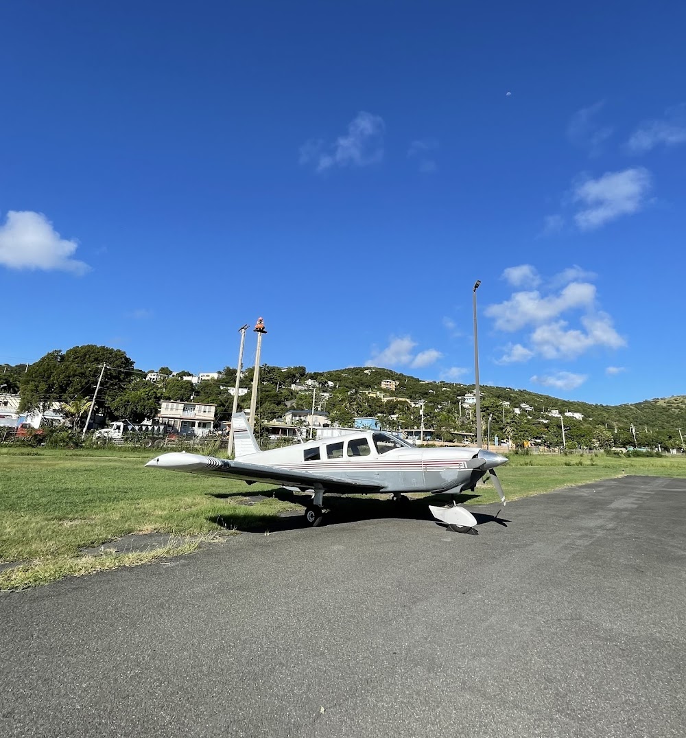
Pirep is a free, collaborative database of all public and private airports. All pilots are welcome to contribute their local knowledge to any airport, no registration required.


Public
Undocumented
Edit Tags
No upcoming events. Is anything happening here soon?
Airport Statistics
- WiFi availability
- Local flying clubs
- Tags
Location:
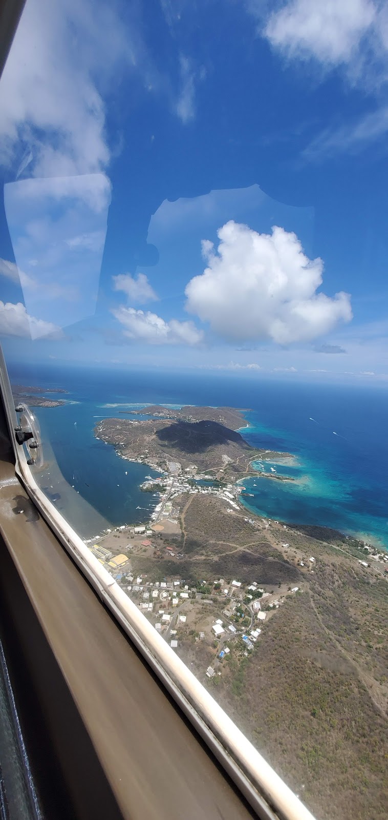
Isla De Culebra, PR
Elevation:
42ft
Sectional:
Puerto Rico Virgin Islands
Activation date:
Oct 1963
Fuel:
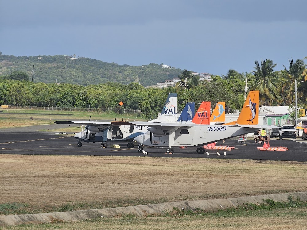
None
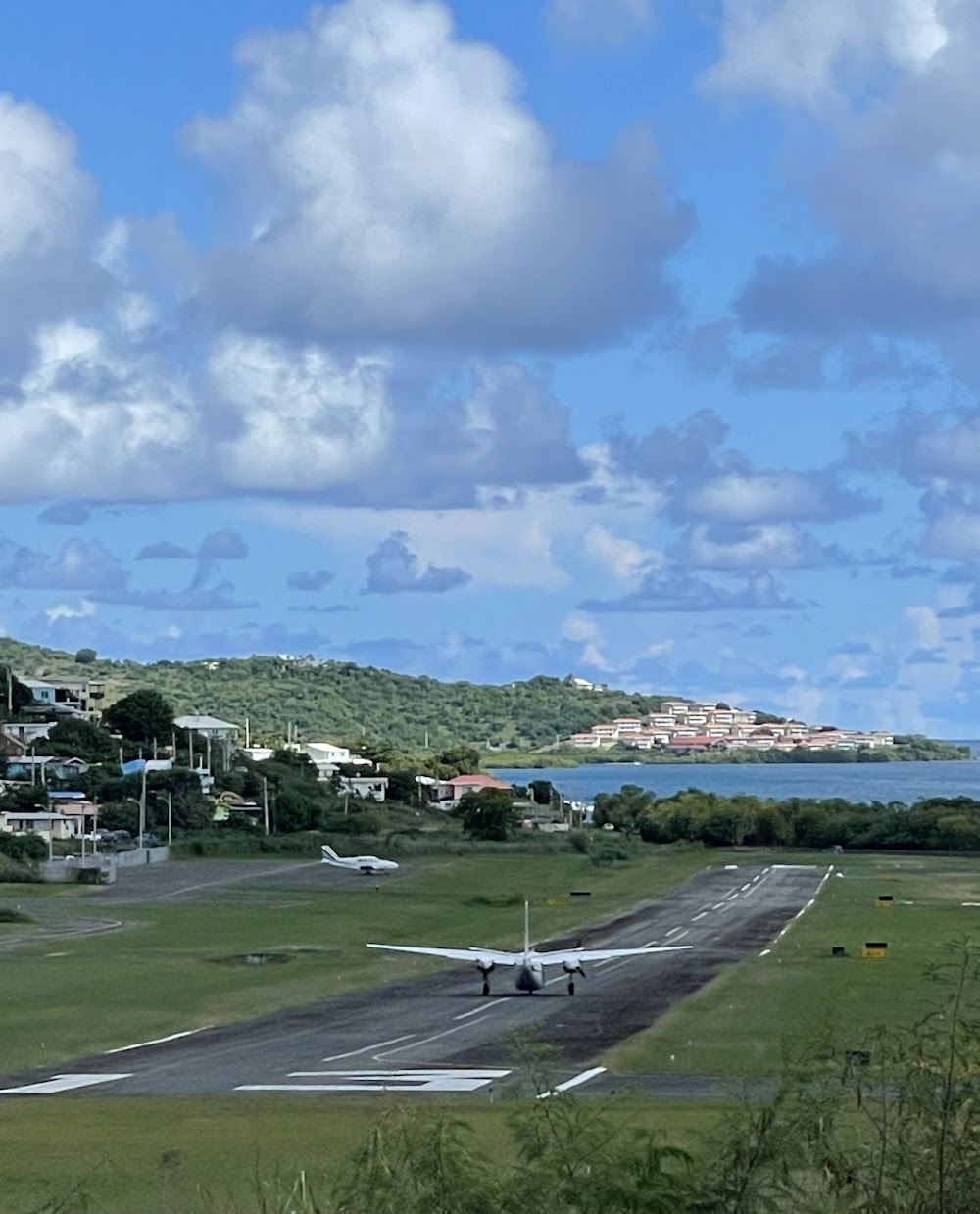
Runway 13/31:
2,596ft
Access: Open to the public
Click/tap to add an annotation marker to the map
No webcams added yet.
Remarks
- Vfr wx only. min traffic ptn 1000' agl. no ngt opns. lnd rwy 13 only (excp for adverse wx conds) apch fm nw thru bahia flamenco on heading of 172 deg. fly thru laguna del flamenco until aprox parallel to hiway in pass alter heading to 153 deg; left turn to final apch rwy 13.
- Rtg bcn ots indef.
- Low alt maneuvering required for final alignment to rwy. variable degs of turbulence may be expected.
- Acft departing arpt northbound be alert for traffic descending on final for charlotte amalie st thomas, cyril e king (stt).
- Birds on & invof arpt.
- Unatndd ss-sr. emergs only. opns between ss-sr will be an own risk.
- Ldg fee for all acft.
- 600 ft agl ant 1/2 mile east of arpt.
Comments