Pirep is a free, collaborative database of all public and private airports. All pilots are welcome to contribute their local knowledge to any airport, no registration required.
Public
Undocumented
Edit Tags
No upcoming events. Is anything happening here soon?
Airport Statistics
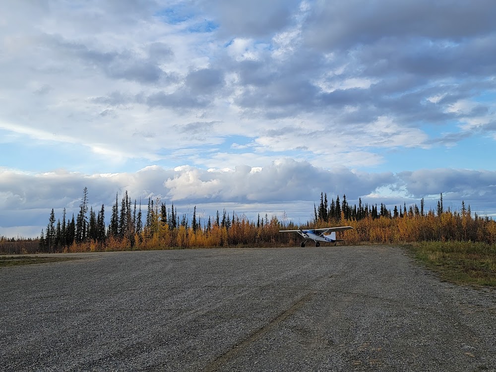
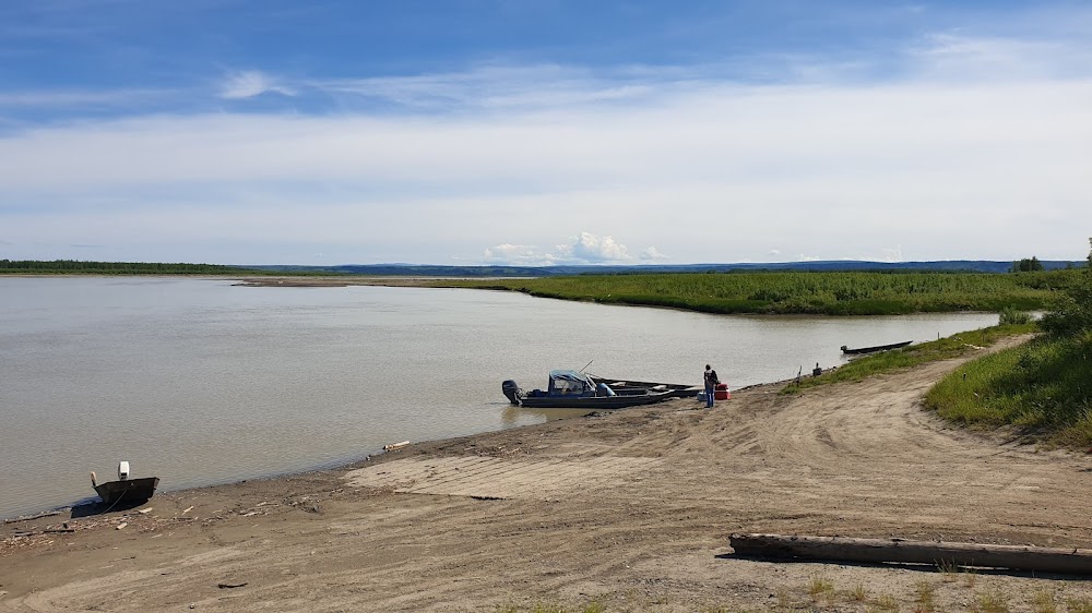
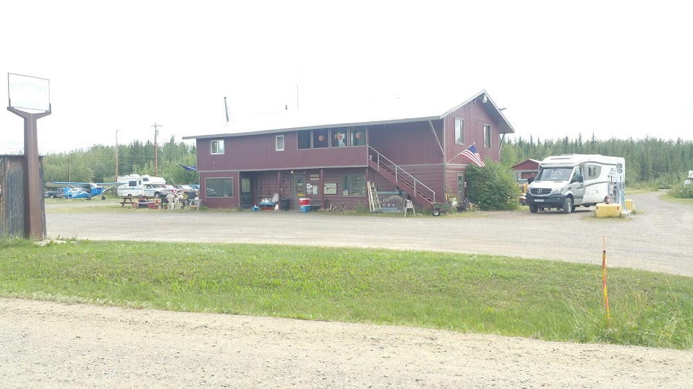
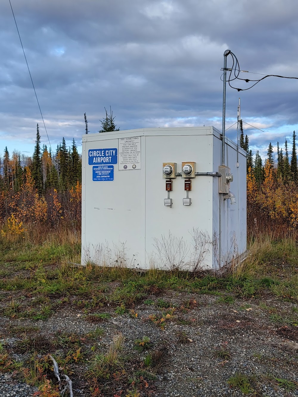
- Airport photos
- Webcam links
- General description
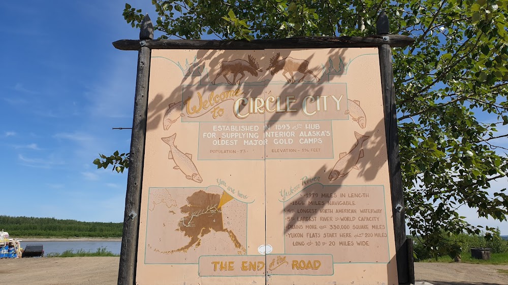
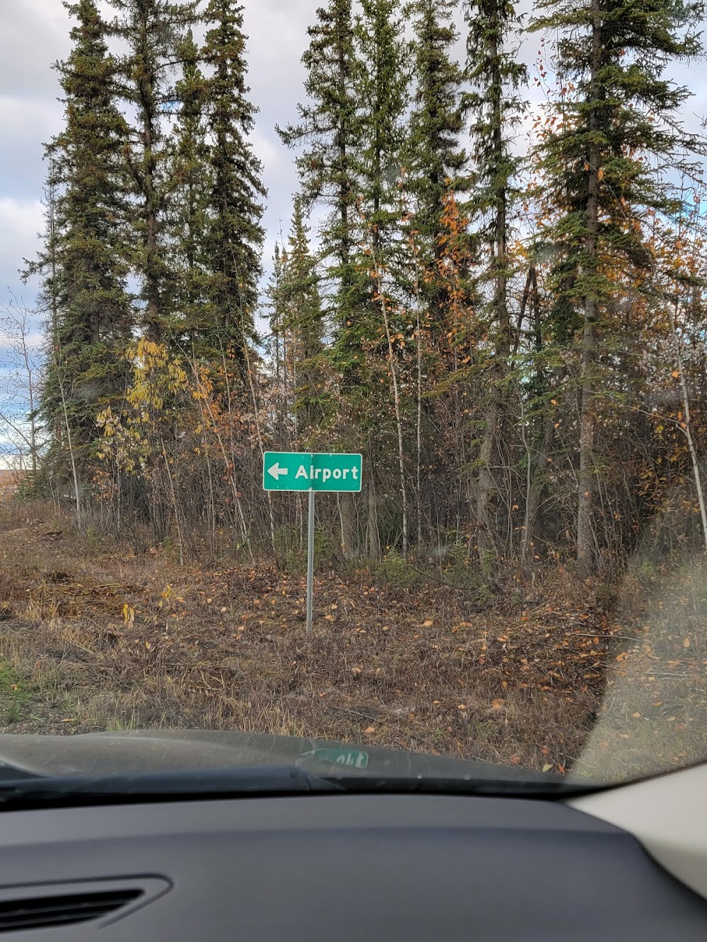
Location:
Circle, AK
Elevation:
613ft
Sectional:
Dawson
Activation date:
Feb 1988
Fuel:
100LL (prices)
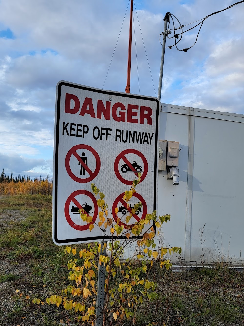
Runway 15/33:
2,979ft
Access: Open to the public
Click/tap to add an annotation marker to the map
No webcams added yet.
Remarks
- This airport has been surveyed by the national geodetic survey.
- Filed for record purposes only.
- Ss-sr. actvt beacon - ctaf.
- Ry cond not monitored or maintained; recommend visual inspection prior to landing.
- Suais - 125.3/126.3(1-800-758-8723).
- Snow removal operations during winter--monitor ctaf.
- Segmented circle overgrown.
- Actvt mirl ry 15/33 - ctaf.
Comments