Pirep is a free, collaborative database of all public and private airports. All pilots are welcome to contribute their local knowledge to any airport, no registration required.


Public
Undocumented
Events
METAR / TAF
Edit Tags
Airport Statistics
- Crew car availability
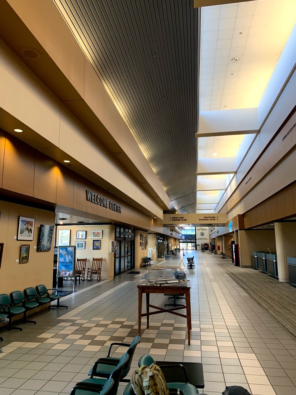
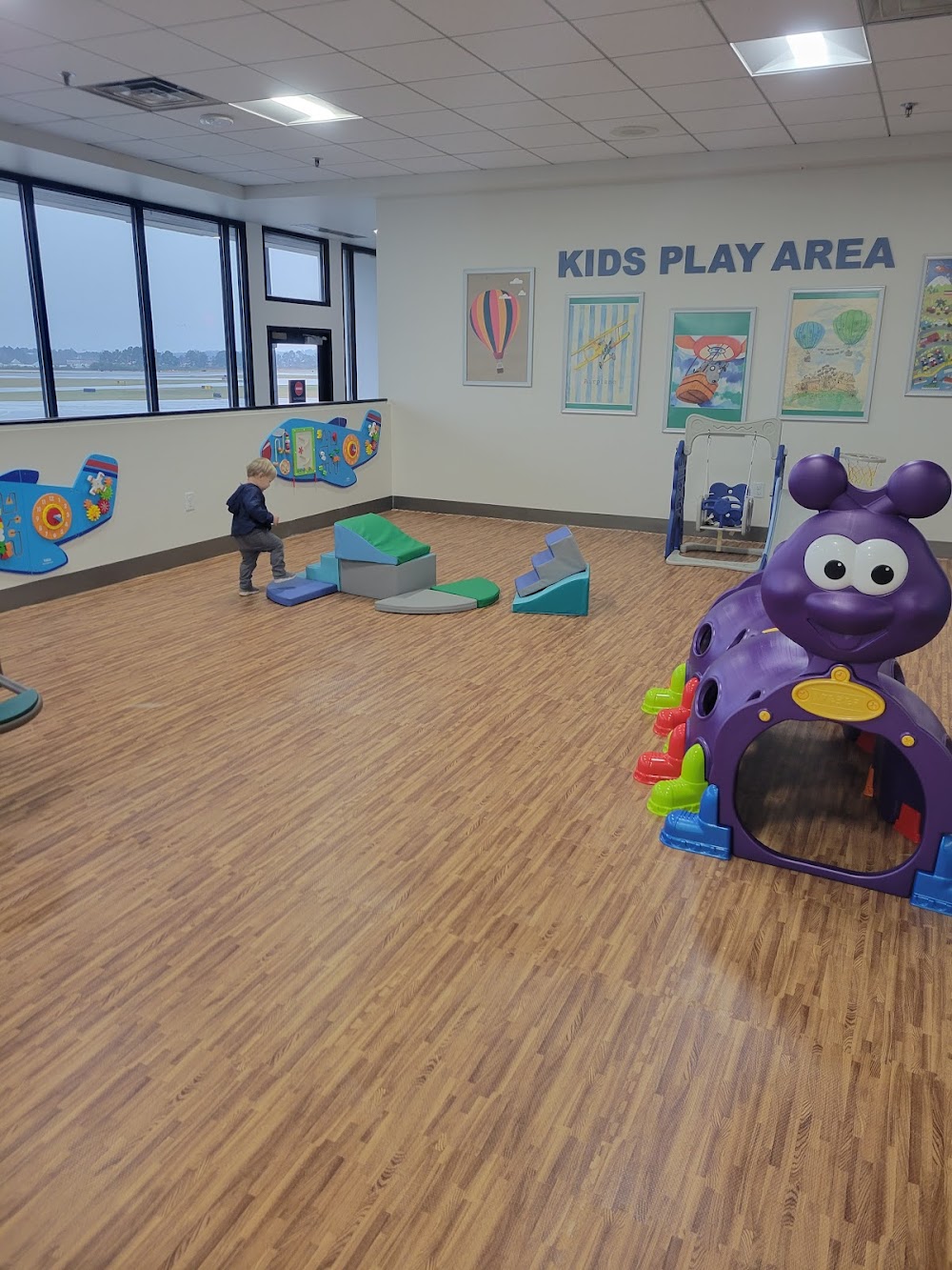
- Airport photos
- Fuel pump location
Location:
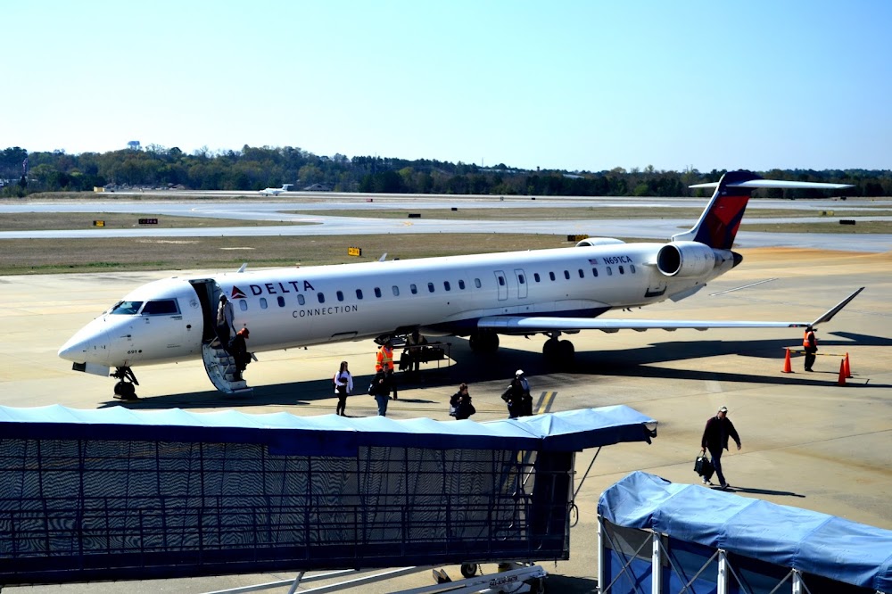
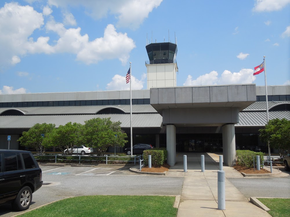
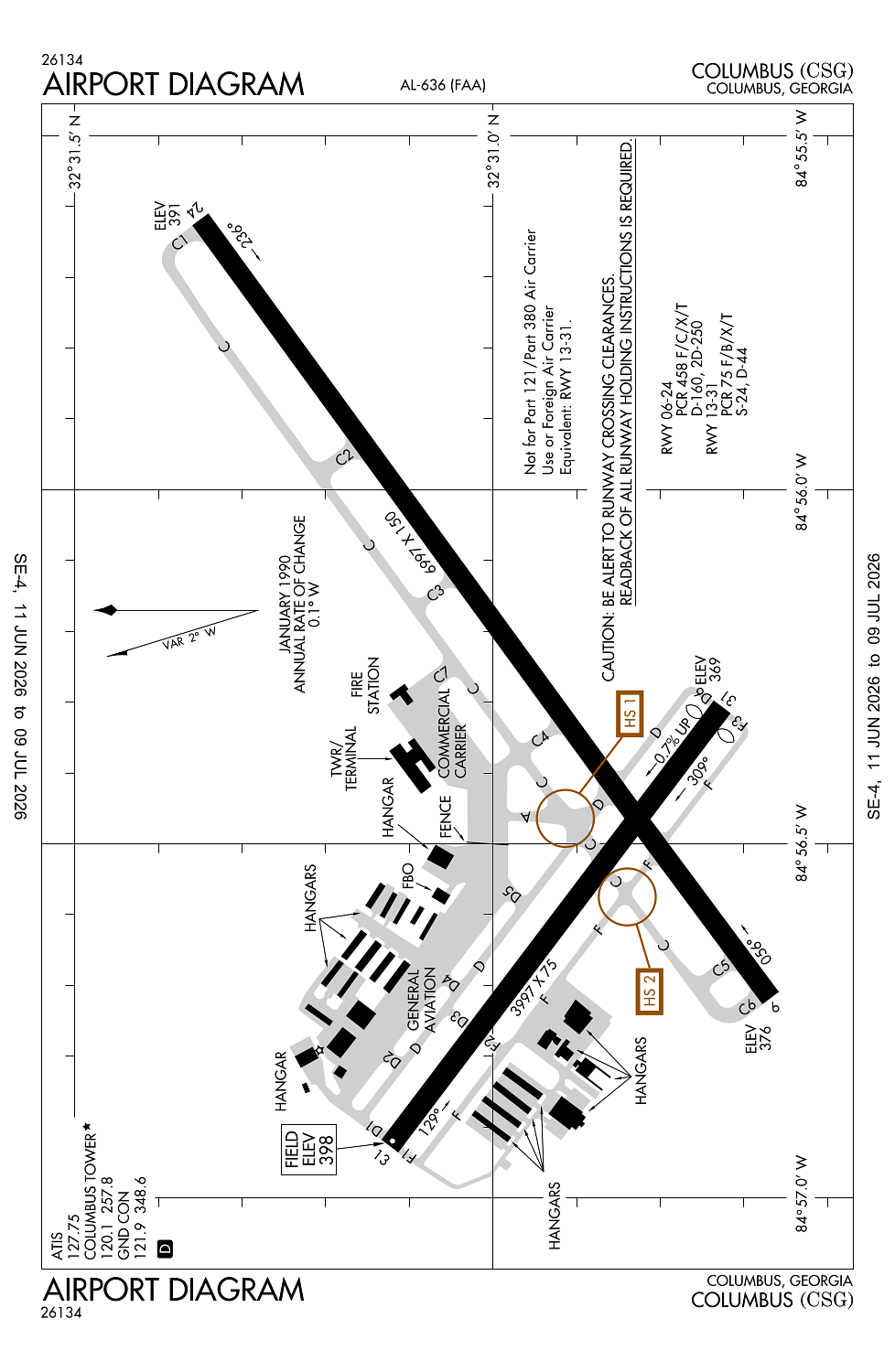
Columbus, GA
Elevation:
397ft
Sectional:
Atlanta
Activation date:
Nov 1942
Fuel:
100LL, A (prices)
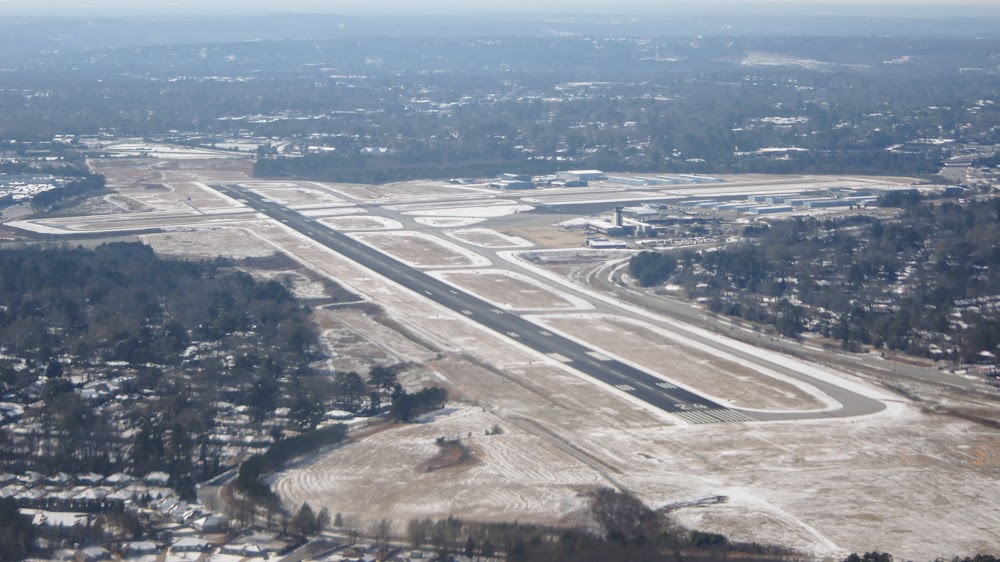
Runway 06/24:
6,997ft
Runway 13/31:
3,997ft
Access: Open to the public
Current Weather — VFR
-
Weather data is strictly informational and not for flight planning purposes.
-
METAR2026-07-20 08:51:00 EDT
Ceiling: 5,000ft Wind: 070° @ 3kt Temperature: 80°F Dewpoint: 71°F Weather: N/A Visbility: 10SM Clouds: Broken @ 5,000ft Raw:METAR KCSG 201251Z 07003KT 10SM BKN050 27/22 A2997 RMK AO2 SLP142 T02720222 $ -
TAF2026-07-20 08:00:00 EDT – 2026-07-20 10:00:00 EDT
Ceiling: Sky clear Wind: Calm Weather: N/A Visbility: 6SM Clouds: Scattered @ 25,000ft Raw:TAF KCSG 201120Z 2012/2112 00000KT P6SM SCT250 FM201400 15006KT P6SM SCT025 SCT200 FM201700 13005KT P6SM SCT040 PROB30 2020/2024 4SM -TSRA BKN035CB -
TAF2026-07-20 10:00:00 EDT – 2026-07-20 13:00:00 EDT
Ceiling: Sky clear Wind: 150° @ 6kt Weather: N/A Visbility: 6SM Clouds: Scattered @ 2,500ft, Scattered @ 20,000ft Raw:TAF KCSG 201120Z 2012/2112 00000KT P6SM SCT250 FM201400 15006KT P6SM SCT025 SCT200 FM201700 13005KT P6SM SCT040 PROB30 2020/2024 4SM -TSRA BKN035CB -
TAF2026-07-20 13:00:00 EDT – 2026-07-21 08:00:00 EDT
Ceiling: Sky clear Wind: 130° @ 5kt Weather: N/A Visbility: 6SM Clouds: Scattered @ 4,000ft Raw:TAF KCSG 201120Z 2012/2112 00000KT P6SM SCT250 FM201400 15006KT P6SM SCT025 SCT200 FM201700 13005KT P6SM SCT040 PROB30 2020/2024 4SM -TSRA BKN035CB -
TAF2026-07-20 16:00:00 EDT – 2026-07-20 20:00:00 EDT
Ceiling: 3,500ft Wind: 000° @ kt Weather: Light thunderstorm rain Visbility: 4SM Clouds: Broken @ 3,500ft Raw:TAF KCSG 201120Z 2012/2112 00000KT P6SM SCT250 FM201400 15006KT P6SM SCT025 SCT200 FM201700 13005KT P6SM SCT040 PROB30 2020/2024 4SM -TSRA BKN035CB
Click/tap to add an annotation marker to the map
No webcams added yet.
Remarks
- Index b arff equip avbl.
- Birds on & invof arpt.
- For cd if una to ctc on fss freq, ctc atlanta apch at 678-364-6132, when atct clsd ctc atlanta artcc at 770-210-7692.
- Be alert for rwy 6 at twy d int dep instructions with rwy rmng 5085 ft tora/toda/asda.
- Be alert for rwy 6 at twy f int dep instructions with rwy rmng 5623 ft tora/toda/asda.
Comments