Pirep is a free, collaborative database of all public and private airports. All pilots are welcome to contribute their local knowledge to any airport, no registration required.


Public
Undocumented
METAR / TAF
Edit Tags
No upcoming events. Is anything happening here soon?
Airport Statistics
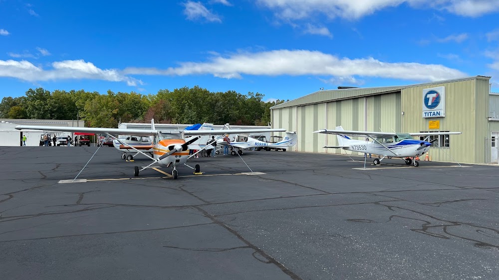
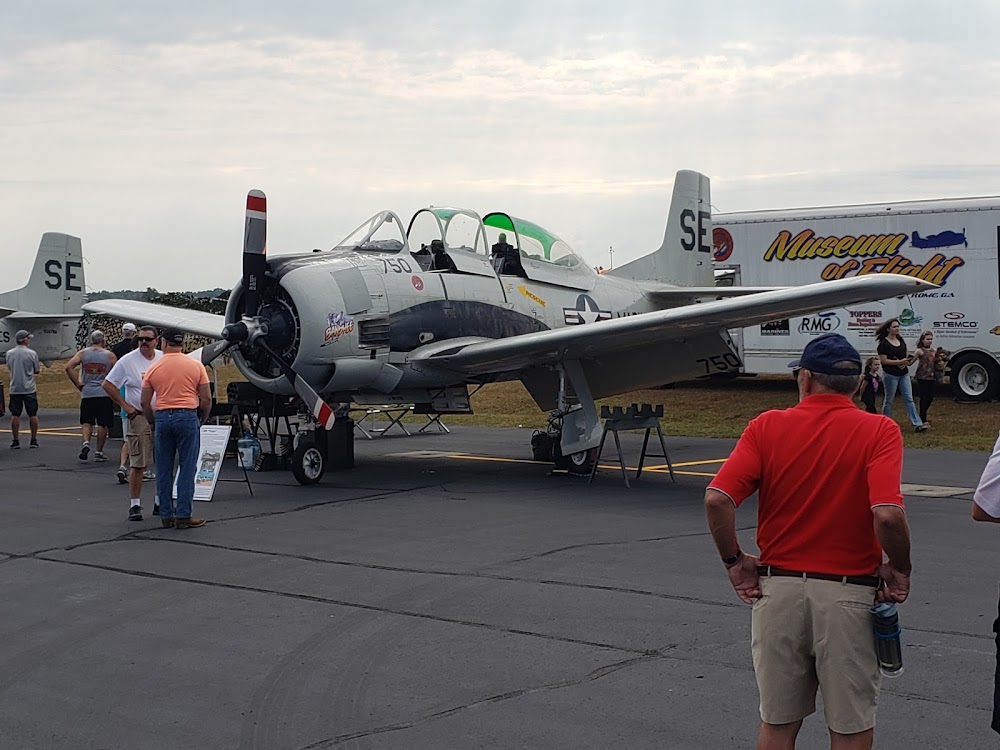
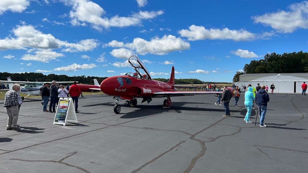
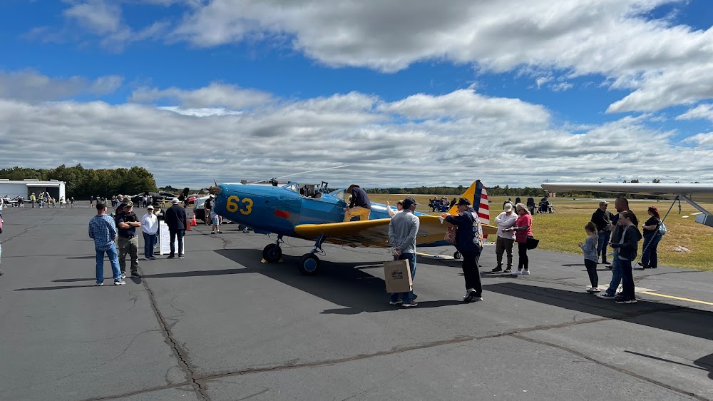
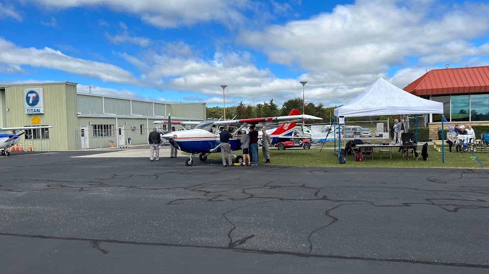
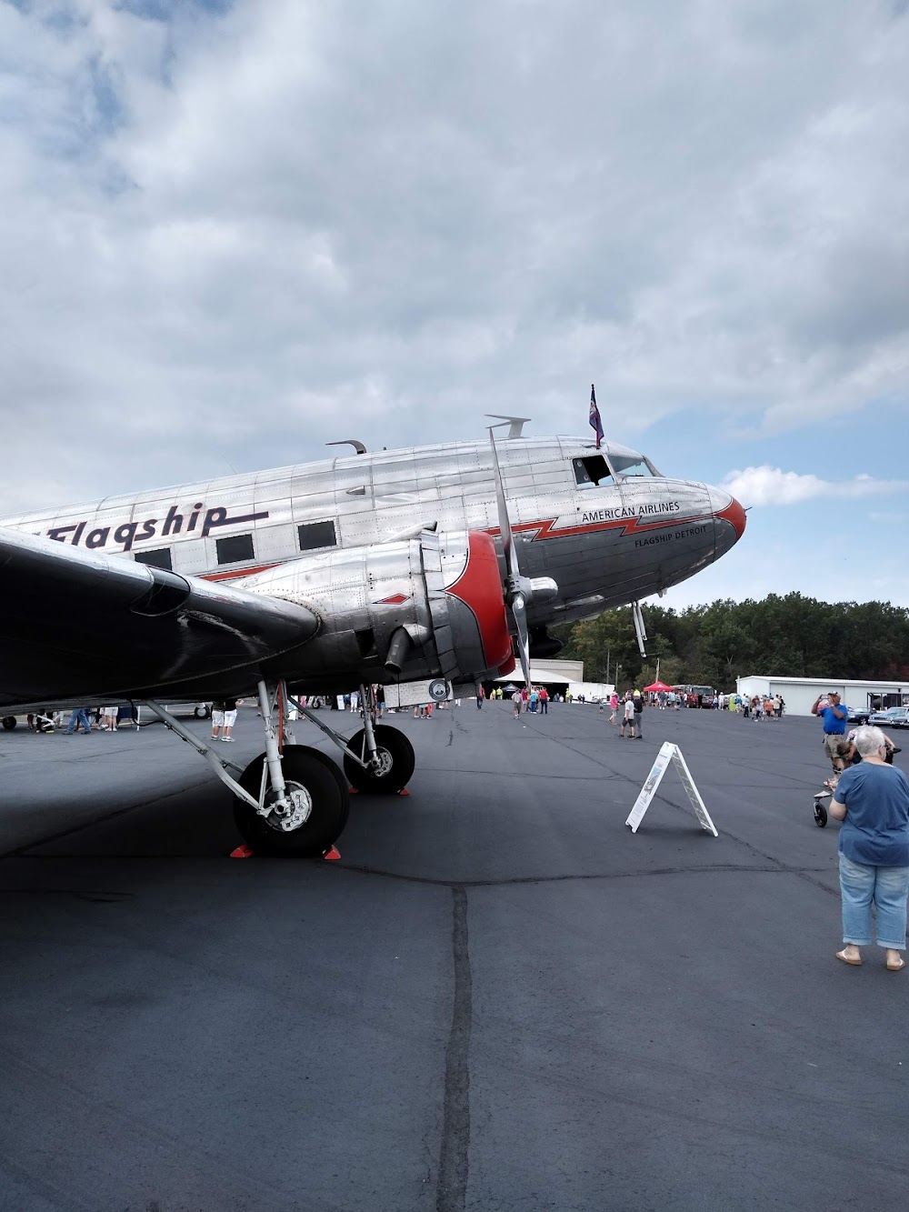
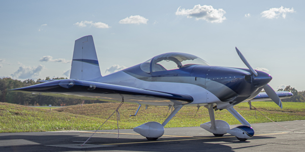
- Airport photos
- Webcam links
- Tags
Location:
Crossville, TN
Elevation:
1,881ft
Sectional:
Atlanta
Activation date:
May 1941
Fuel:
100LL, A+ (prices)
Runway 08/26:
5,423ft
Access: Open to the public
Current Weather — VFR
-
Weather data is strictly informational and not for flight planning purposes.
-
METAR2026-07-15 16:53:00 CDT
Ceiling: Sky clear Wind: 220° @ 5kt Temperature: 82°F Dewpoint: 71°F Weather: N/A Visbility: 10SM Clouds: Few @ 3,500ft Raw:METAR KCSV 152153Z AUTO 22005KT 10SM FEW035 28/22 A3012 RMK AO2 SLP177 T02830217 -
TAF2026-07-15 13:00:00 CDT – 2026-07-16 02:00:00 CDT
Ceiling: Sky clear Wind: 160° @ 5kt Weather: N/A Visbility: 6SM Clouds: Scattered @ 6,000ft Raw:TAF KCSV 151731Z 1518/1618 16005KT P6SM SCT060 FM160700 00000KT 5SM BR SCT250 FM160900 00000KT 2SM BR BCFG FEW250 TEMPO 1609/1612 1/2SM FG BKN004 FM161400 29004KT P6SM OVC025 -
TAF2026-07-16 02:00:00 CDT – 2026-07-16 04:00:00 CDT
Ceiling: Sky clear Wind: Calm Weather: Mist Visbility: 5SM Clouds: Scattered @ 25,000ft Raw:TAF KCSV 151731Z 1518/1618 16005KT P6SM SCT060 FM160700 00000KT 5SM BR SCT250 FM160900 00000KT 2SM BR BCFG FEW250 TEMPO 1609/1612 1/2SM FG BKN004 FM161400 29004KT P6SM OVC025 -
TAF2026-07-16 04:00:00 CDT – 2026-07-16 09:00:00 CDT
Ceiling: Sky clear Wind: Calm Weather: Mist, fog patches Visbility: 2SM Clouds: Few @ 25,000ft Raw:TAF KCSV 151731Z 1518/1618 16005KT P6SM SCT060 FM160700 00000KT 5SM BR SCT250 FM160900 00000KT 2SM BR BCFG FEW250 TEMPO 1609/1612 1/2SM FG BKN004 FM161400 29004KT P6SM OVC025 -
TAF2026-07-16 04:00:00 CDT – 2026-07-16 07:00:00 CDT
Ceiling: 400ft Wind: 000° @ kt Weather: Fog Visbility: 0SM Clouds: Broken @ 400ft Raw:TAF KCSV 151731Z 1518/1618 16005KT P6SM SCT060 FM160700 00000KT 5SM BR SCT250 FM160900 00000KT 2SM BR BCFG FEW250 TEMPO 1609/1612 1/2SM FG BKN004 FM161400 29004KT P6SM OVC025 -
TAF2026-07-16 09:00:00 CDT – 2026-07-16 13:00:00 CDT
Ceiling: 2,500ft Wind: 290° @ 4kt Weather: N/A Visbility: 6SM Clouds: Overcast @ 2,500ft Raw:TAF KCSV 151731Z 1518/1618 16005KT P6SM SCT060 FM160700 00000KT 5SM BR SCT250 FM160900 00000KT 2SM BR BCFG FEW250 TEMPO 1609/1612 1/2SM FG BKN004 FM161400 29004KT P6SM OVC025
Click/tap to add an annotation marker to the map
No webcams added yet.
Remarks
- This airport has been surveyed by the national geodetic survey.
- For cd if una to ctc on fss freq, ctc atlanta artcc at 770-210-7692.
- Hirl rwy 08/26 preset low intst; incr intst - ctaf.
- Aft hr - 931-267-5214.
- Papi unusbl byd 8 degs right of cntrln.
- Johnna mccoy
Comments