Pirep is a free, collaborative database of all public and private airports. All pilots are welcome to contribute their local knowledge to any airport, no registration required.
Public
Undocumented
METAR / TAF
Edit Tags
No upcoming events. Is anything happening here soon?
Airport Statistics
- WiFi availability
- General description
- Airport photos
Location:
Clovis, NM
Elevation:
4,215ft
Sectional:
Albuquerque
Activation date:
Apr 1959
Fuel:
100LL, A+
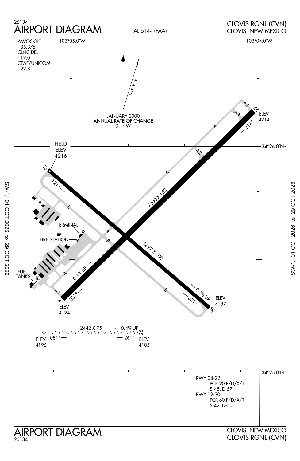
Runway 04/22:
7,200ft
Runway 12/30:
5,697ft
Runway 08/26:
2,442ft
Access: Open to the public
Current Weather — IFR
-
Weather data is strictly informational and not for flight planning purposes.
-
METAR2026-10-26 04:28:00 MDT
Ceiling: 800ft Wind: 160° @ 11kt Temperature: 57°F Dewpoint: 57°F Weather: N/A Visbility: 10SM Clouds: Overcast @ 800ft Raw:SPECI KCVN 261028Z AUTO 16011KT 10SM OVC008 14/14 A3023 RMK AO2 LTG DSNT SW AND W CIG 006V010 $
Click/tap to add an annotation marker to the map
No webcams added yet.
Remarks
- Ctn: jet tfc; cannon afb 13 nm sw.
- Agriculture act on & invof arpt.
- For cd if una to ctc on fss freq, ctc albuquerque artcc at 505-856-4561.
- Actvt malsr rwy 04; reil rwy 12 & 30; papi rwy 04 & 22; mirl rwy 04/22 & 12/30 - ctaf. papi rwy 12 & 30 opr consly.
- Aft hr - 575-763-9615.
Comments