Pirep is a free, collaborative database of all public and private airports. All pilots are welcome to contribute their local knowledge to any airport, no registration required.
No upcoming events. Is anything happening here soon?
Last updated: 2023-06-15 23:49:49 CDT
Airport Statistics
- Transient parking location
- Landing & tie-down fees
- Webcam links
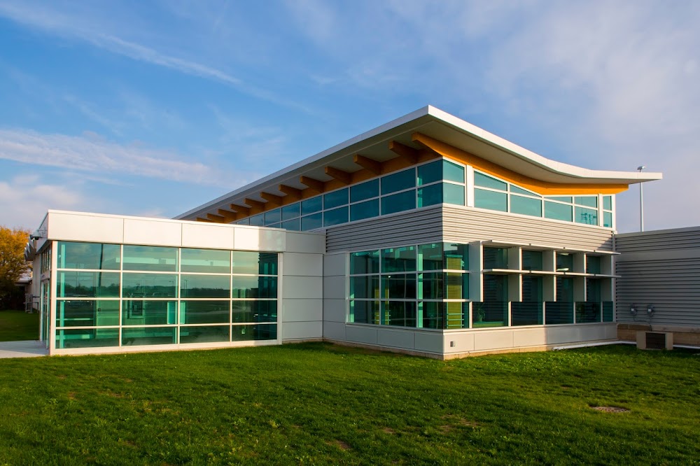
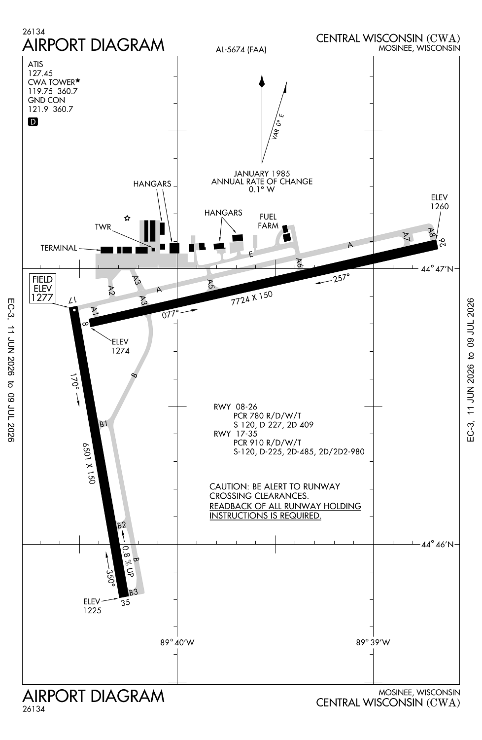
Location:
Mosinee, WI
Elevation:
1,277ft
Sectional:
Green Bay
Activation date:
Oct 1969
Fuel:
100LL, A (prices)
Runway 08/26:
7,724ft
Runway 17/35:
6,501ft
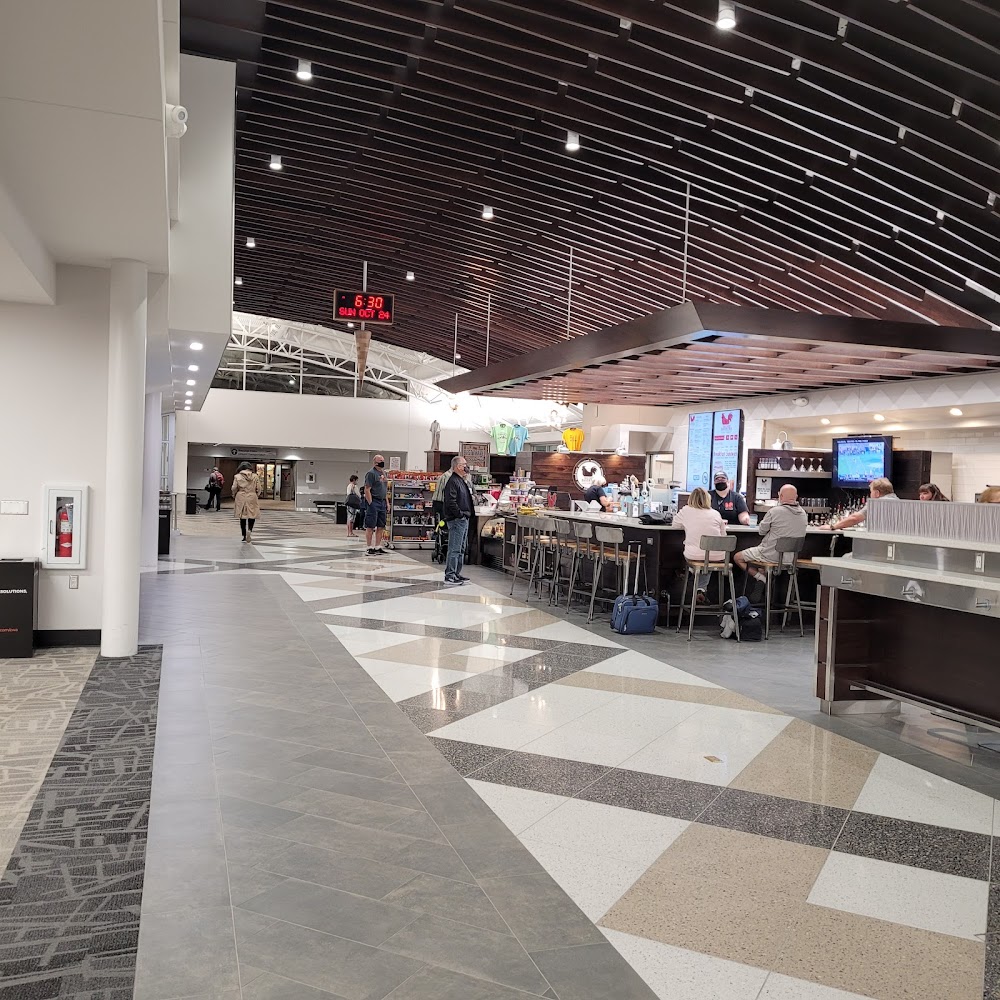
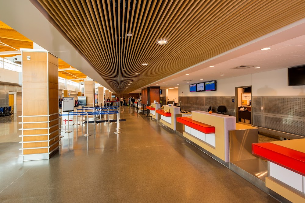
Access: Open to the public
Similar Airports
Current Weather — VFR
-
Weather data is strictly informational and not for flight planning purposes.
-
METAR2026-07-20 23:15:00 CDT
Ceiling: Sky clear Wind: 280° @ 10kt Temperature: 75°F Dewpoint: 62°F Weather: N/A Visbility: 10SM Raw:METAR KCWA 210415Z AUTO 28010KT 10SM CLR 24/17 A2963 RMK AO2 TSNO -
TAF2026-07-20 21:00:00 CDT – 2026-07-21 00:00:00 CDT
Ceiling: Sky clear Wind: 270° @ 9kt, gusts 21kt Weather: N/A Visbility: 6SM Clouds: Scattered @ 3,500ft Raw:TAF KCWA 210147Z 2102/2124 27009G21KT P6SM SCT035 FM210500 29009G18KT P6SM SCT250 FM211300 31014G21KT P6SM BKN025 FM211800 33016G24KT P6SM OVC050 -
TAF2026-07-21 00:00:00 CDT – 2026-07-21 08:00:00 CDT
Ceiling: Sky clear Wind: 290° @ 9kt, gusts 18kt Weather: N/A Visbility: 6SM Clouds: Scattered @ 25,000ft Raw:TAF KCWA 210147Z 2102/2124 27009G21KT P6SM SCT035 FM210500 29009G18KT P6SM SCT250 FM211300 31014G21KT P6SM BKN025 FM211800 33016G24KT P6SM OVC050 -
TAF2026-07-21 08:00:00 CDT – 2026-07-21 13:00:00 CDT
Ceiling: 2,500ft Wind: 310° @ 14kt, gusts 21kt Weather: N/A Visbility: 6SM Clouds: Broken @ 2,500ft Raw:TAF KCWA 210147Z 2102/2124 27009G21KT P6SM SCT035 FM210500 29009G18KT P6SM SCT250 FM211300 31014G21KT P6SM BKN025 FM211800 33016G24KT P6SM OVC050 -
TAF2026-07-21 13:00:00 CDT – 2026-07-21 19:00:00 CDT
Ceiling: 5,000ft Wind: 330° @ 16kt, gusts 24kt Weather: N/A Visbility: 6SM Clouds: Overcast @ 5,000ft Raw:TAF KCWA 210147Z 2102/2124 27009G21KT P6SM SCT035 FM210500 29009G18KT P6SM SCT250 FM211300 31014G21KT P6SM BKN025 FM211800 33016G24KT P6SM OVC050
Click/tap to add an annotation marker to the map
No webcams added yet.
Remarks
- 48 hr ppr for unsked acr opns with more than 30 psgr seats; index c avbl; call amgr 715-693-2147.
- Twy e north of twy a not avbl for acr ops; ga & cargo acft rstrd to less than 100000 lbs.
- Ldg fee for acft prvdg coml svcs.
- Rwy 08 and rwy 17 apch ends are closely aligned. verify correct rwy and compass heading prior to dep
- When atct clsd, hirl rwy 8/26 preset low; to incr intst and actvt malsr rwy 8 & 35; reil rwy 17 & 26; hirl rwy 8/26 & 17/35 - ctaf. rwy 8, 17, 26 & 35 papi oprs consly.
Comments