Pirep is a free, collaborative database of all public and private airports. All pilots are welcome to contribute their local knowledge to any airport, no registration required.
Public
Undocumented
METAR / TAF
Webcam
Edit Tags
No upcoming events. Is anything happening here soon?
Airport Statistics
- Local flying clubs
- WiFi availability
- Airport photos
Location:
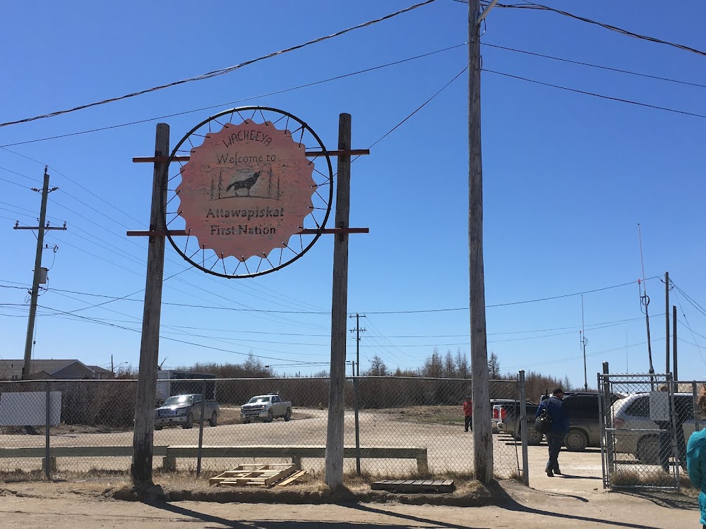
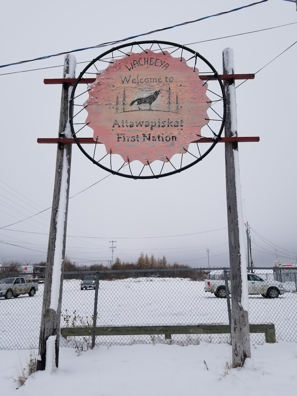
Attawapiskat, Ontario
Elevation:
31ft
Runway 06/24:
3,500ft
Warning: This airport was imported from a non-authoritative source. Its public/private status may not be accurate.
Access: Open to the public
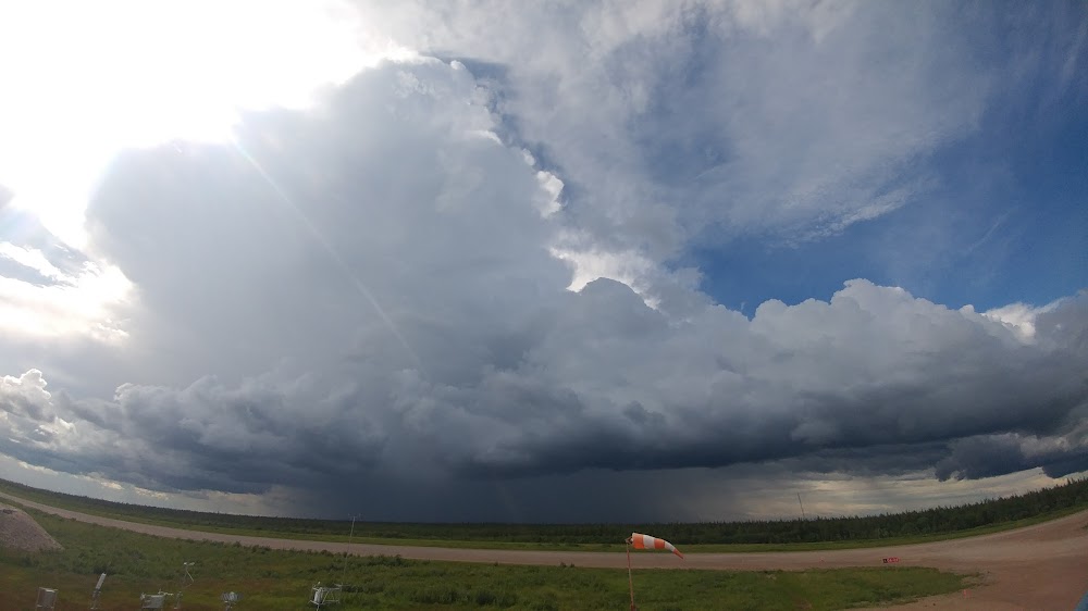
Current Weather — VFR
-
Weather data is strictly informational and not for flight planning purposes.
-
METAR2026-07-20 04:00:00 EDT
Ceiling: Sky clear Wind: 180° @ 4kt Temperature: 50°F Dewpoint: 48°F Weather: N/A Visbility: 9SM Raw:METAR CYAT 200800Z AUTO 18004KT 9SM CLR 10/09 A2976 RMK SLP081 -
TAF2026-07-19 11:00:00 EDT – 2026-07-19 12:00:00 EDT
Ceiling: 16,000ft Wind: 280° @ 5kt Weather: N/A Visbility: 6SM Clouds: Broken @ 16,000ft Raw:TAF CYAT 191440Z 1915/1919 28005KT P6SM BKN160 BECMG 1916/1918 33008KT RMK FCST BASED ON AUTO OBS. NXT FCST BY 200900Z -
TAF2026-07-19 12:00:00 EDT – 2026-07-19 15:00:00 EDT
Ceiling: 16,000ft Wind: 330° @ 8kt Weather: N/A Visbility: 6SM Clouds: Broken @ 16,000ft Raw:TAF CYAT 191440Z 1915/1919 28005KT P6SM BKN160 BECMG 1916/1918 33008KT RMK FCST BASED ON AUTO OBS. NXT FCST BY 200900Z
Click/tap to add an annotation marker to the map
Comments