Pirep is a free, collaborative database of all public and private airports. All pilots are welcome to contribute their local knowledge to any airport, no registration required.
Public
Undocumented
METAR / TAF
Edit Tags
No upcoming events. Is anything happening here soon?
Airport Statistics
- Webcam links
- Tags
- Landing & tie-down fees
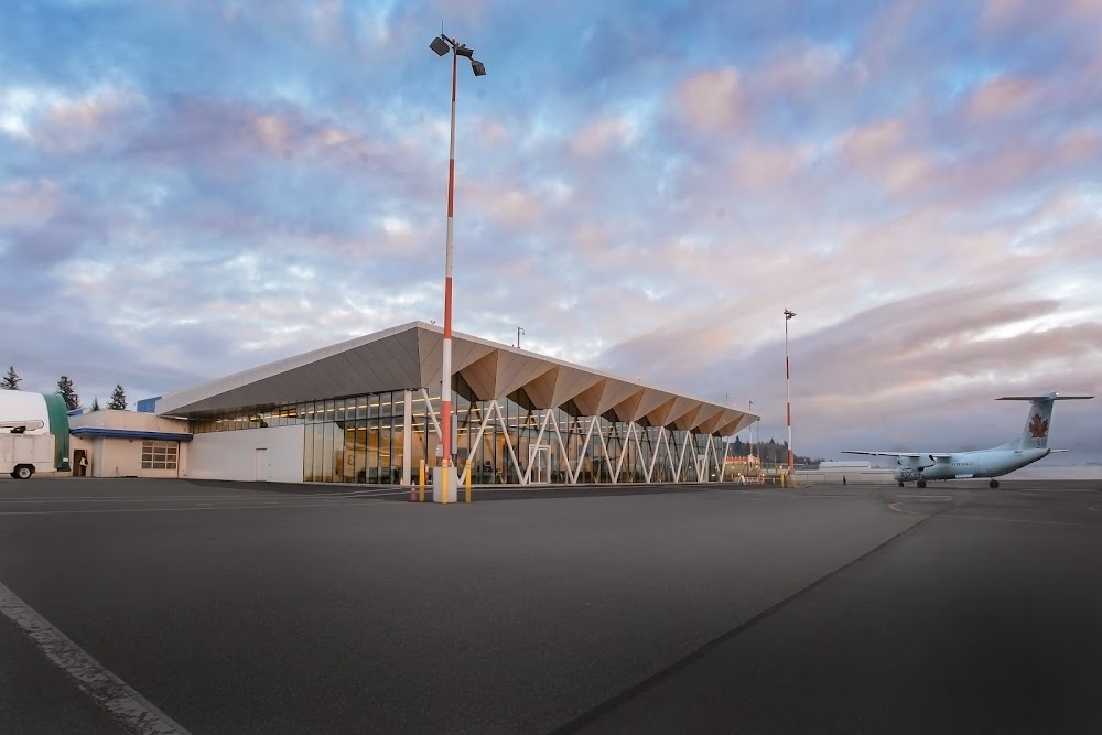
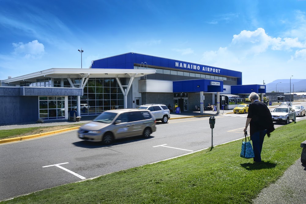
Location:
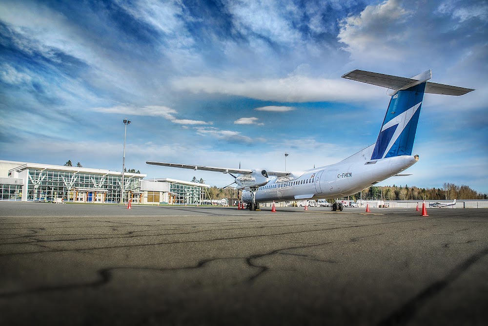
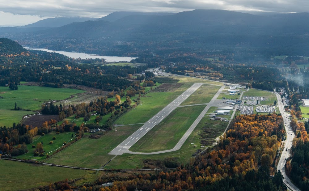
Nanaimo, CN
Elevation:
92ft
Sectional:
Seattle
Activation date:
Mar 2005
Fuel:
100LL, A1 (prices)
Runway 16/34:
6,602ft
Access: Open to the public
Click/tap to add an annotation marker to the map
No webcams added yet.
Remarks
- Deer invof ry.
Comments