Pirep is a free, collaborative database of all public and private airports. All pilots are welcome to contribute their local knowledge to any airport, no registration required.
Public
Undocumented
METAR / TAF
Edit Tags
No upcoming events. Is anything happening here soon?
Airport Statistics
- Landing & tie-down fees
- WiFi availability
- Airport map annotations
Location:
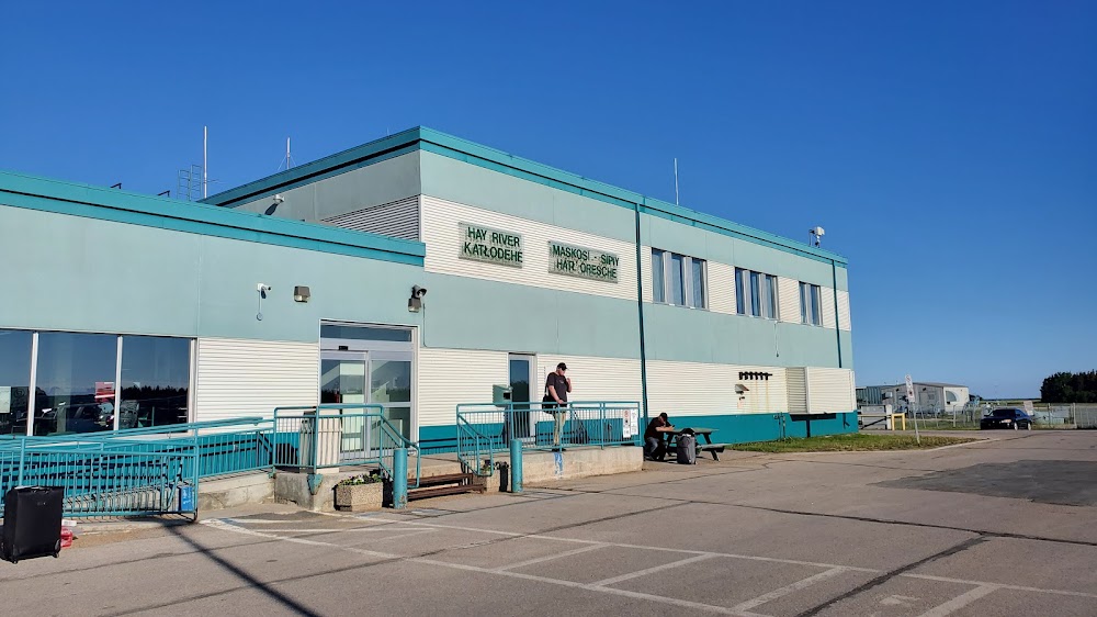
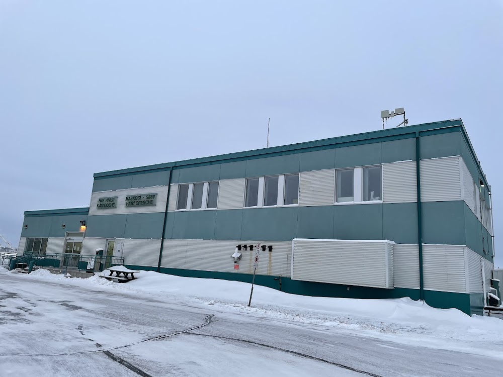
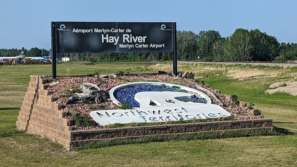
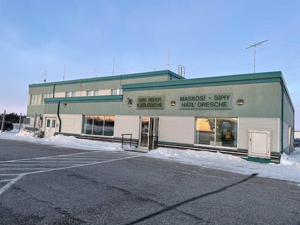
Hay River, Northwest Territories
Elevation:
541ft
Runway 14/32:
6,000ft
Runway 05/23:
4,001ft
Warning: This airport was imported from a non-authoritative source. Its public/private status may not be accurate.
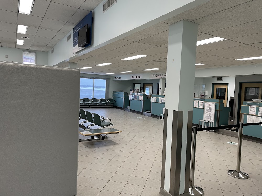
Access: Open to the public
Current Weather — VFR
-
Weather data is strictly informational and not for flight planning purposes.
-
METAR2026-07-20 11:00:00 MDT
Ceiling: 6,100ft Wind: 310° @ 12kt Temperature: 64°F Dewpoint: 57°F Weather: Smoke Visbility: 6SM Clouds: Broken @ 6,100ft Raw:METAR CYHY 201700Z 31012KT 6SM FU BKN061 18/14 A3016 RMK FU7SC1 SC TR SLP221 -
TAF2026-07-20 07:00:00 MDT – 2026-07-20 18:00:00 MDT
Ceiling: 6,000ft Wind: 000° @ kt Weather: Smoke Visbility: 3SM Clouds: Broken @ 6,000ft Raw:TAF AMD CYHY 201308Z 2013/2024 29008KT P6SM SCT060 TEMPO 2013/2024 3SM FU BKN060 BECMG 2017/2019 34008KT RMK NXT FCST BY 201800Z -
TAF2026-07-20 07:00:00 MDT – 2026-07-20 11:00:00 MDT
Ceiling: Sky clear Wind: 290° @ 8kt Weather: N/A Visbility: 6SM Clouds: Scattered @ 6,000ft Raw:TAF AMD CYHY 201308Z 2013/2024 29008KT P6SM SCT060 TEMPO 2013/2024 3SM FU BKN060 BECMG 2017/2019 34008KT RMK NXT FCST BY 201800Z -
TAF2026-07-20 11:00:00 MDT – 2026-07-20 18:00:00 MDT
Ceiling: Sky clear Wind: 340° @ 8kt Weather: N/A Visbility: 6SM Clouds: Scattered @ 6,000ft Raw:TAF AMD CYHY 201308Z 2013/2024 29008KT P6SM SCT060 TEMPO 2013/2024 3SM FU BKN060 BECMG 2017/2019 34008KT RMK NXT FCST BY 201800Z
Click/tap to add an annotation marker to the map
No webcams added yet.
Comments