CYLW - Kelowna International Airport

Pirep is a free, collaborative database of all public and private airports. All pilots are welcome to contribute their local knowledge to any airport, no registration required.
Uploaded photos will be licensed under a CC BY-SA 4.0 license. Please only upload photos you have the rights to use.
Tags
Public
Undocu­mented
METAR / TAF
Webcam
Edit Tags
Food
Camping
Lodging
Car Rental
Bicycles
Swimming
Golfing
Fishing
Hot Springs
Museum
Flying Clubs
Airpark
Upcoming Events
No upcoming events. Is anything happening here soon?
*
*
*

Where exactly on/near the airport is this event taking place?

Is there a webpage with more information for this event?

Who should be contacted for more information?

What is this event all about?

Repeat every
Description
Transient Parking
Fuel Location
Landing & Tie-down Fees
Crew Car Availability
Flying Clubs
WiFi Access
Airport Statistics
10%
Are you familiar with this airport? Help complete its documentation by adding some of the following info if applicable:
  • Local flying clubs
  • General description
  • Transient parking location
Location: 
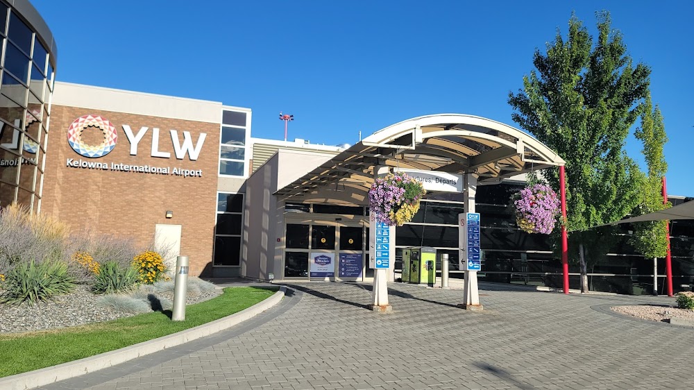
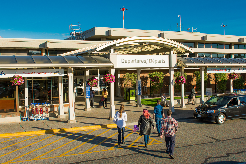
Kelowna, British Columbia
Elevation: 1,421ft
Runway 16/34: 8,900ft
Warning: This airport was imported from a non-authoritative source. Its public/private status may not be accurate.
Access: Open to the public
Current Weather — IFR
  • Weather data is strictly informational and not for flight planning purposes.
  • METAR
    2025-12-05 02:14:00 PST
    Ceiling: 900ft
    Wind: Variable
    Temperature: 33°F
    Dewpoint: 33°F
    Weather: N/A
    Visbility: 9SM
    Clouds: Overcast @ 900ft
    Raw: SPECI CYLW 051014Z AUTO VRB02KT 9SM OVC009 01/01 A3009 RMK SLP208
  • TAF
    2025-12-05 02:00:00 PST – 2025-12-05 08:00:00 PST
    Ceiling: 4,000ft
    Wind: Variable
    Weather: N/A
    Visbility: 6SM
    Clouds: Scattered @ 800ft, Scattered @ 1,200ft, Broken @ 4,000ft
    Raw: TAF AMD CYLW 051024Z 0510/0519 VRB03KT P6SM SCT008 SCT012 BKN040 TEMPO 0510/0516 3SM -RASN BR BKN006 OVC012 FM051600 VRB03KT P6SM -SN SCT008 BKN040 TEMPO 0516/0519 3SM -RASN BR BKN008 RMK FCST BASED ON AUTO OBS. NXT FCST BY 051300Z
  • TAF
    2025-12-05 02:00:00 PST – 2025-12-05 08:00:00 PST
    Ceiling: 600ft
    Wind: 000° @ kt
    Weather: Light rain, light snow, mist
    Visbility: 3SM
    Clouds: Broken @ 600ft, Overcast @ 1,200ft
    Raw: TAF AMD CYLW 051024Z 0510/0519 VRB03KT P6SM SCT008 SCT012 BKN040 TEMPO 0510/0516 3SM -RASN BR BKN006 OVC012 FM051600 VRB03KT P6SM -SN SCT008 BKN040 TEMPO 0516/0519 3SM -RASN BR BKN008 RMK FCST BASED ON AUTO OBS. NXT FCST BY 051300Z
  • TAF
    2025-12-05 08:00:00 PST – 2025-12-05 11:00:00 PST
    Ceiling: 4,000ft
    Wind: Variable
    Weather: Light snow
    Visbility: 6SM
    Clouds: Scattered @ 800ft, Broken @ 4,000ft
    Raw: TAF AMD CYLW 051024Z 0510/0519 VRB03KT P6SM SCT008 SCT012 BKN040 TEMPO 0510/0516 3SM -RASN BR BKN006 OVC012 FM051600 VRB03KT P6SM -SN SCT008 BKN040 TEMPO 0516/0519 3SM -RASN BR BKN008 RMK FCST BASED ON AUTO OBS. NXT FCST BY 051300Z
  • TAF
    2025-12-05 08:00:00 PST – 2025-12-05 11:00:00 PST
    Ceiling: 800ft
    Wind: 000° @ kt
    Weather: Light rain, light snow, mist
    Visbility: 3SM
    Clouds: Broken @ 800ft
    Raw: TAF AMD CYLW 051024Z 0510/0519 VRB03KT P6SM SCT008 SCT012 BKN040 TEMPO 0510/0516 3SM -RASN BR BKN006 OVC012 FM051600 VRB03KT P6SM -SN SCT008 BKN040 TEMPO 0516/0519 3SM -RASN BR BKN008 RMK FCST BASED ON AUTO OBS. NXT FCST BY 051300Z
Click/tap to add an annotation marker to the map
Direct links to live image URLs will be displayed inline on this page. URLs to separate webpages will be linked to.
URL:
Direct links to live image URLs will be displayed inline on this page. URLs to separate webpages will be linked to.
URL:
Comments
Leave a comment What was your experience like at this airport?