Pirep is a free, collaborative database of all public and private airports. All pilots are welcome to contribute their local knowledge to any airport, no registration required.
Public
Undocumented
METAR / TAF
Webcam
Edit Tags
No upcoming events. Is anything happening here soon?
Airport Statistics
- General description
- Airport map annotations
- WiFi availability
Location:
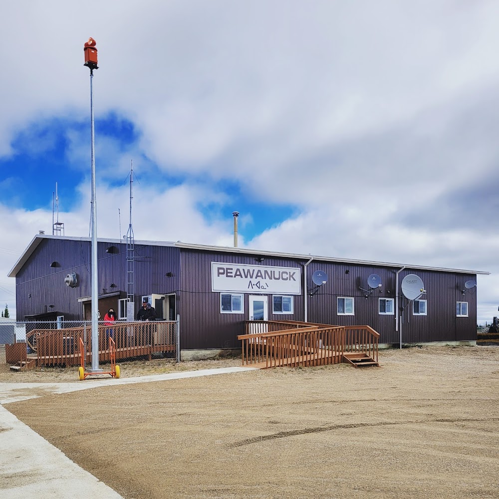
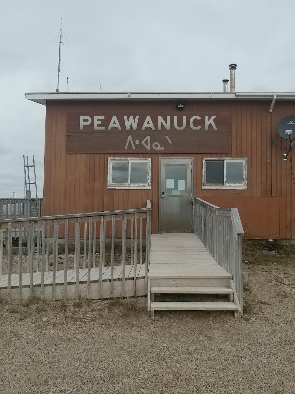
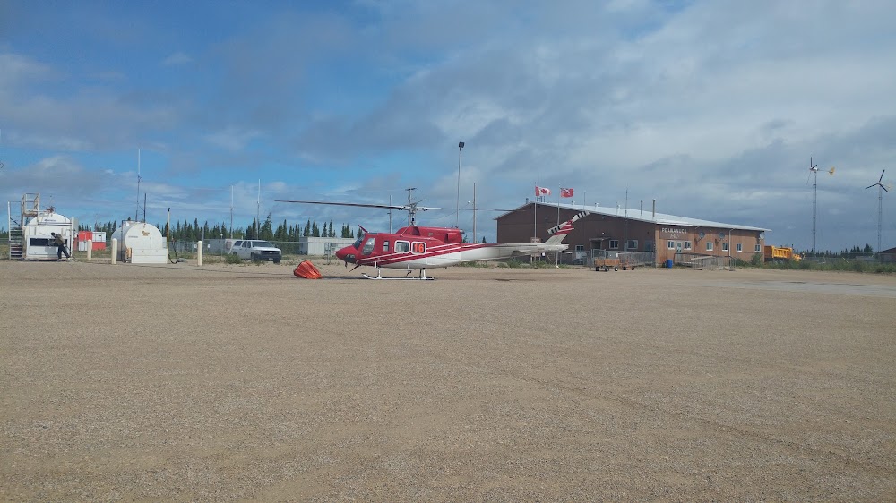
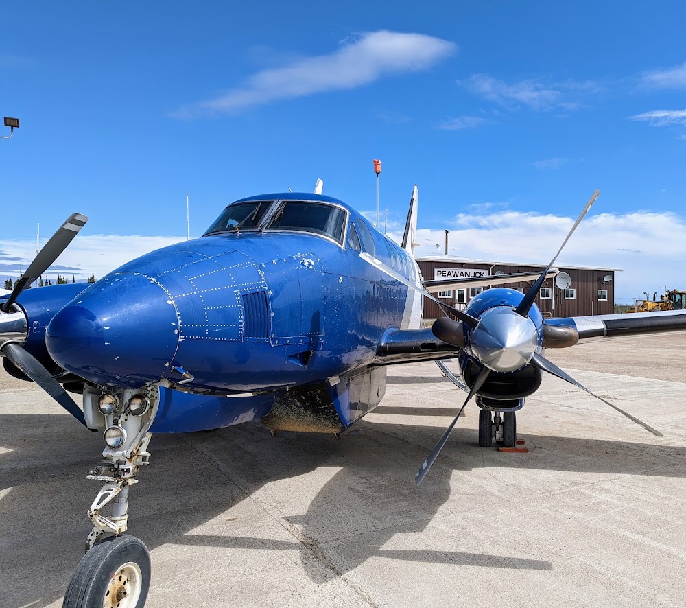
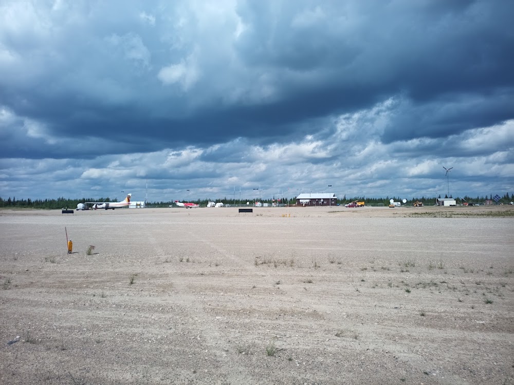
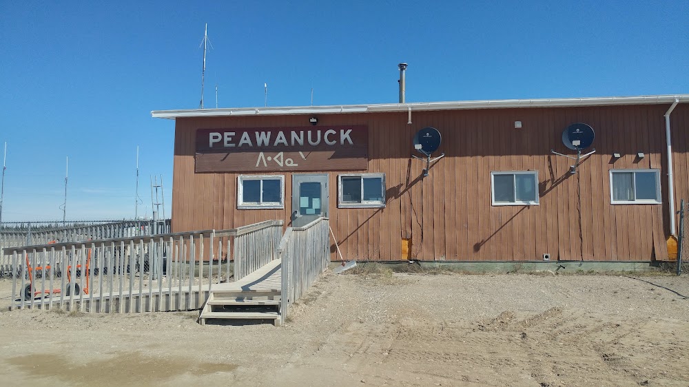
Peawanuck, Ontario
Elevation:
173ft
Runway 11/29:
3,520ft
Warning: This airport was imported from a non-authoritative source. Its public/private status may not be accurate.
Access: Open to the public
Current Weather — VFR
-
Weather data is strictly informational and not for flight planning purposes.
-
METAR2026-07-20 09:00:00 CDT
Ceiling: 10,000ft Wind: 110° @ 10kt, gusts 18kt Temperature: 60°F Dewpoint: 50°F Weather: N/A Visbility: 9SM Clouds: Broken @ 10,000ft, Broken @ 12,000ft, Broken @ 24,000ft Raw:METAR CYPO 201400Z AUTO 11010G18KT 080V140 9SM BKN100 BKN120 BKN240 16/10 A2956 RMK SLP010 DENSITY ALT 800FT
Click/tap to add an annotation marker to the map
Comments