Pirep is a free, collaborative database of all public and private airports. All pilots are welcome to contribute their local knowledge to any airport, no registration required.
Public
Undocumented
METAR / TAF
Webcam
Edit Tags
No upcoming events. Is anything happening here soon?
Airport Statistics
- WiFi availability
- Airport map annotations
- Crew car availability
Location:
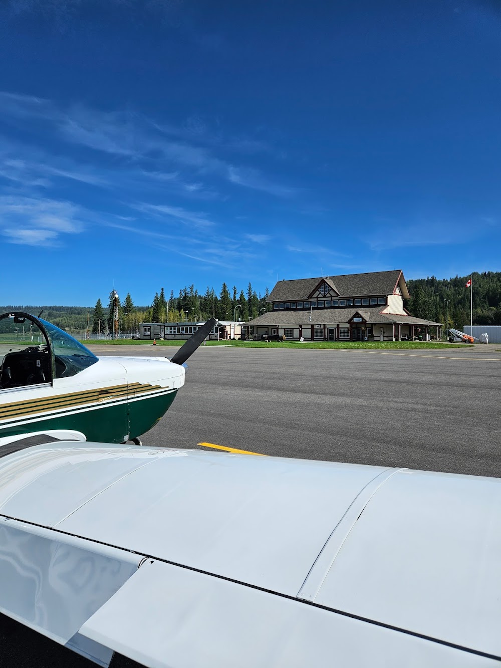
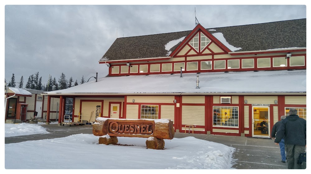
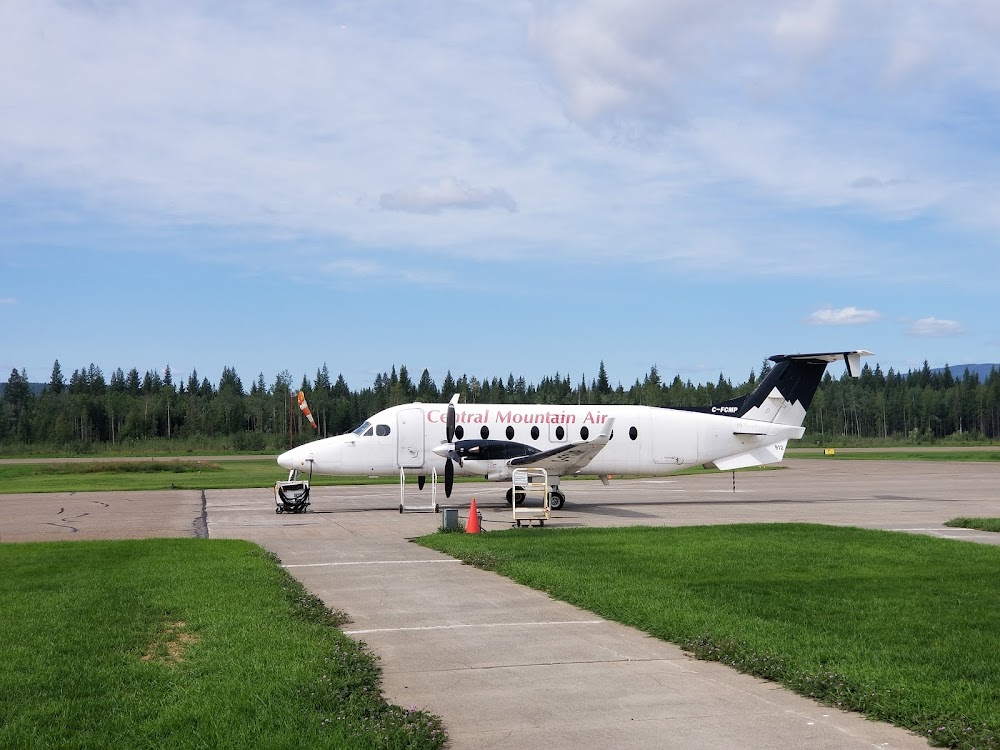
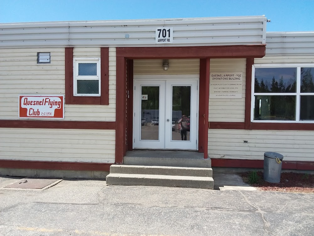
Quesnel, British Columbia
Elevation:
1,789ft
Runway 13/31:
5,500ft
Warning: This airport was imported from a non-authoritative source. Its public/private status may not be accurate.
Access: Open to the public
Current Weather — MVFR
-
Weather data is strictly informational and not for flight planning purposes.
-
METAR2026-07-21 00:00:00 PDT
Ceiling: Sky clear Wind: Variable Temperature: 59°F Dewpoint: 55°F Weather: Mist Visbility: 4SM Raw:METAR CYQZ 210700Z AUTO VRB04KT 4SM BR CLR 15/13 A3011 RMK SLP203 DENSITY ALT 2000FT -
TAF2026-07-20 18:00:00 PDT – 2026-07-20 19:00:00 PDT
Ceiling: Sky clear Wind: 340° @ 8kt Weather: N/A Visbility: 6SM Clouds: @ ft Raw:TAF CYQZ 210040Z 2101/2106 34008KT P6SM SKC TEMPO 2101/2106 5SM FU BECMG 2102/2104 VRB03KT RMK FCST BASED ON AUTO OBS. NXT FCST BY 211200Z -
TAF2026-07-20 18:00:00 PDT – 2026-07-20 23:00:00 PDT
Ceiling: Sky clear Wind: 000° @ kt Weather: Smoke Visbility: 5SM Raw:TAF CYQZ 210040Z 2101/2106 34008KT P6SM SKC TEMPO 2101/2106 5SM FU BECMG 2102/2104 VRB03KT RMK FCST BASED ON AUTO OBS. NXT FCST BY 211200Z -
TAF2026-07-20 19:00:00 PDT – 2026-07-20 23:00:00 PDT
Ceiling: Sky clear Wind: Variable Weather: N/A Visbility: 6SM Clouds: @ ft Raw:TAF CYQZ 210040Z 2101/2106 34008KT P6SM SKC TEMPO 2101/2106 5SM FU BECMG 2102/2104 VRB03KT RMK FCST BASED ON AUTO OBS. NXT FCST BY 211200Z
Click/tap to add an annotation marker to the map
Comments