Pirep is a free, collaborative database of all public and private airports. All pilots are welcome to contribute their local knowledge to any airport, no registration required.
Public
Undocumented
METAR / TAF
Webcam
Edit Tags
No upcoming events. Is anything happening here soon?
Airport Statistics
- Crew car availability
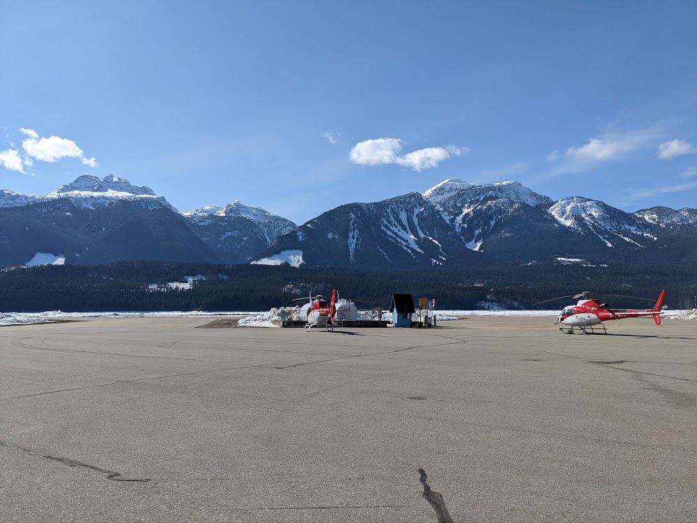
- Transient parking location
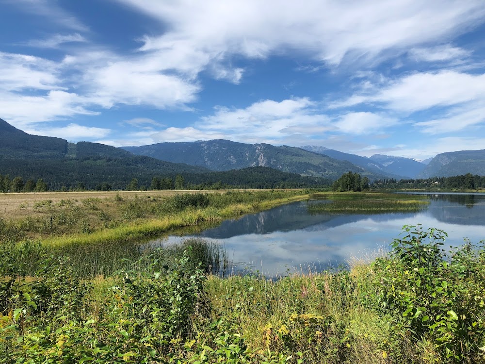
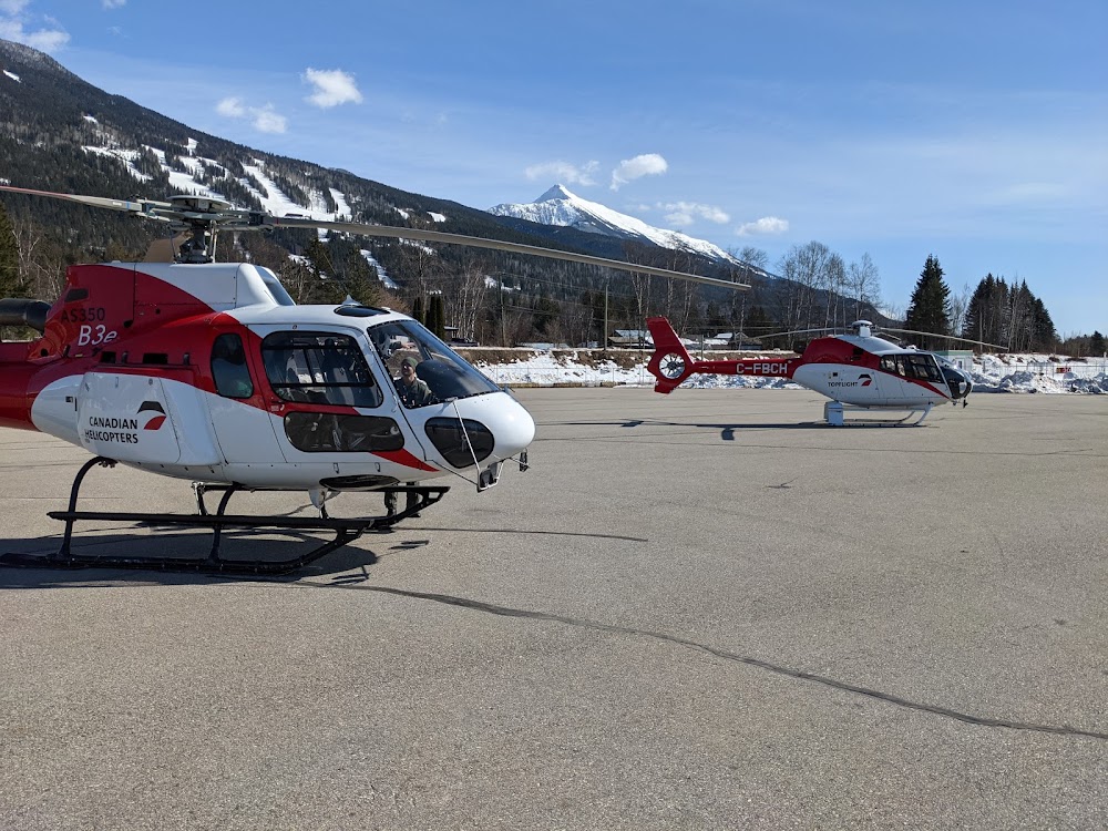
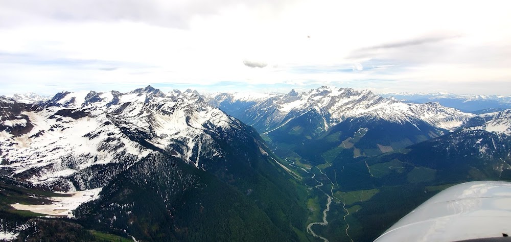
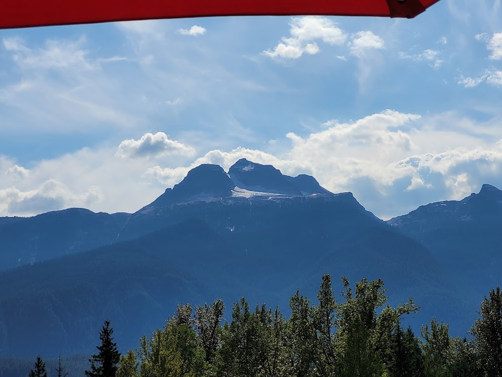
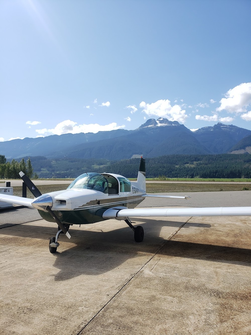
- Airport photos
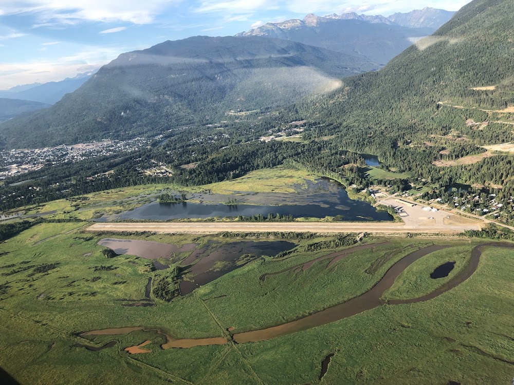
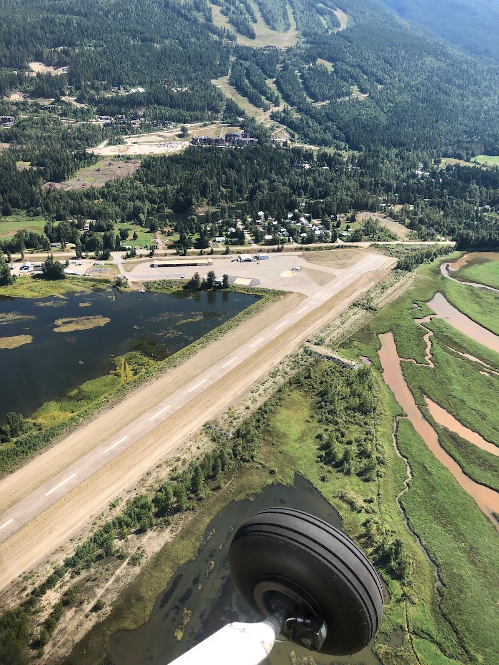
Location:
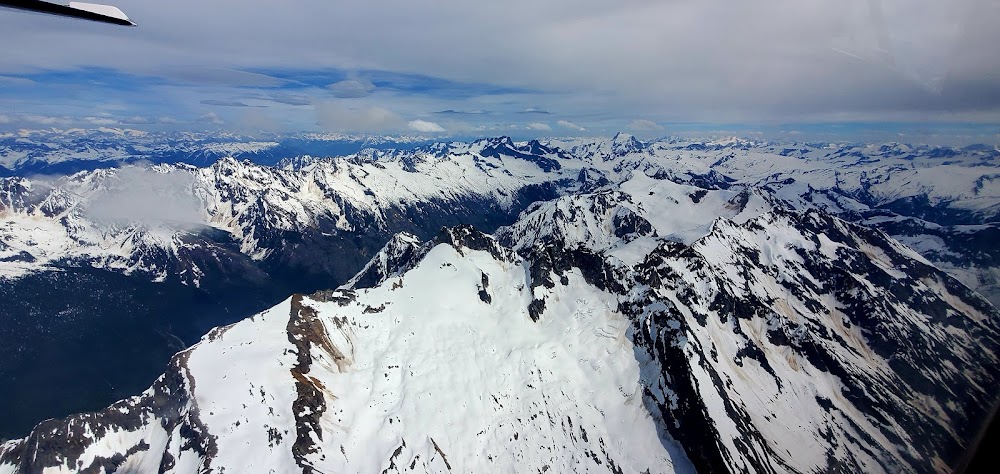
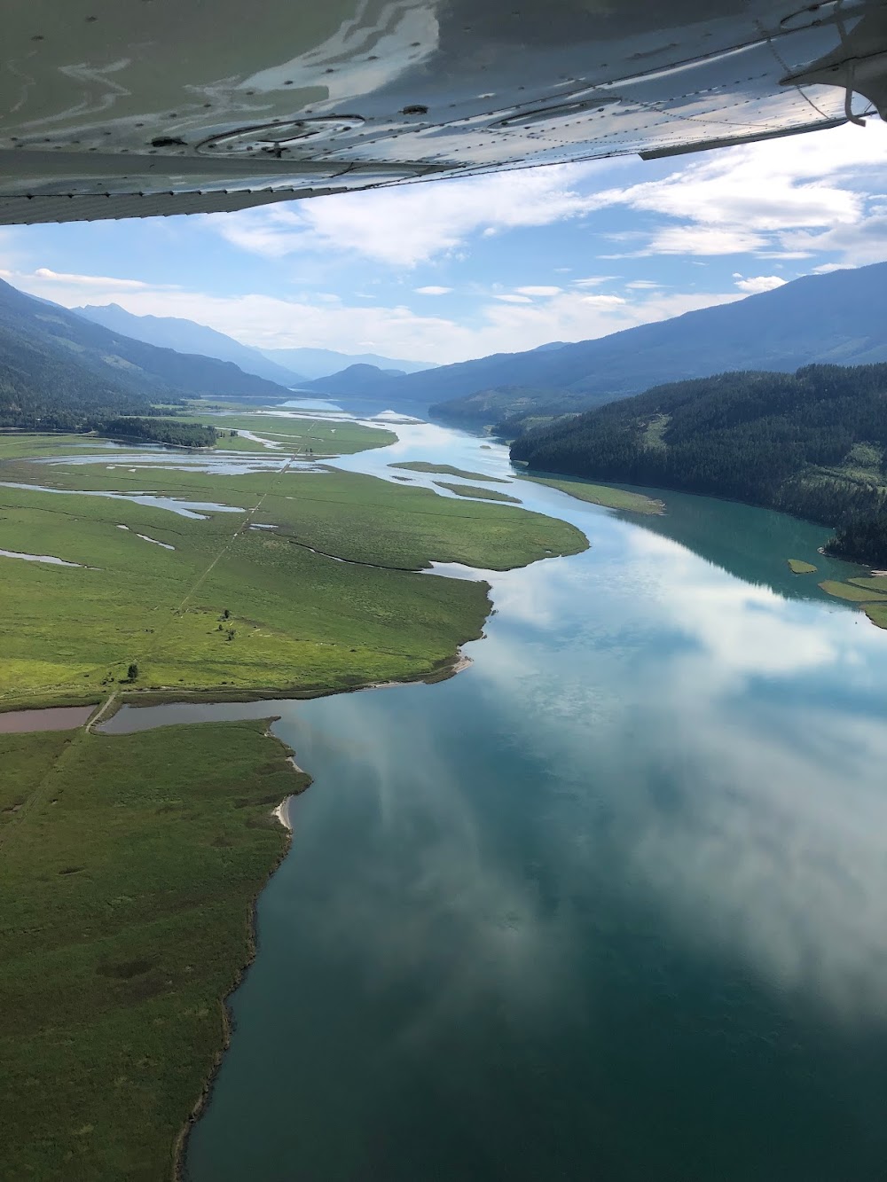
Revelstoke, British Columbia
Elevation:
1,459ft
Runway 12/30:
4,800ft
Warning: This airport was imported from a non-authoritative source. Its public/private status may not be accurate.
Access: Open to the public
Current Weather — VFR
-
Weather data is strictly informational and not for flight planning purposes.
-
METAR2026-07-19 15:00:00 PDT
Ceiling: Sky clear Wind: 330° @ 6kt Temperature: 86°F Dewpoint: 48°F Weather: N/A Visbility: 9SM Raw:METAR CYRV 192200Z AUTO 33006KT 310V010 9SM CLR 30/09 A2996 RMK SLP143 DENSITY ALT 3400FT
Click/tap to add an annotation marker to the map
Comments