Pirep is a free, collaborative database of all public and private airports. All pilots are welcome to contribute their local knowledge to any airport, no registration required.

Public
Undocumented
METAR / TAF
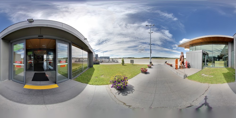
Webcam
Edit Tags
No upcoming events. Is anything happening here soon?
Airport Statistics
- Crew car availability
- Transient parking location
- Landing & tie-down fees
Location:
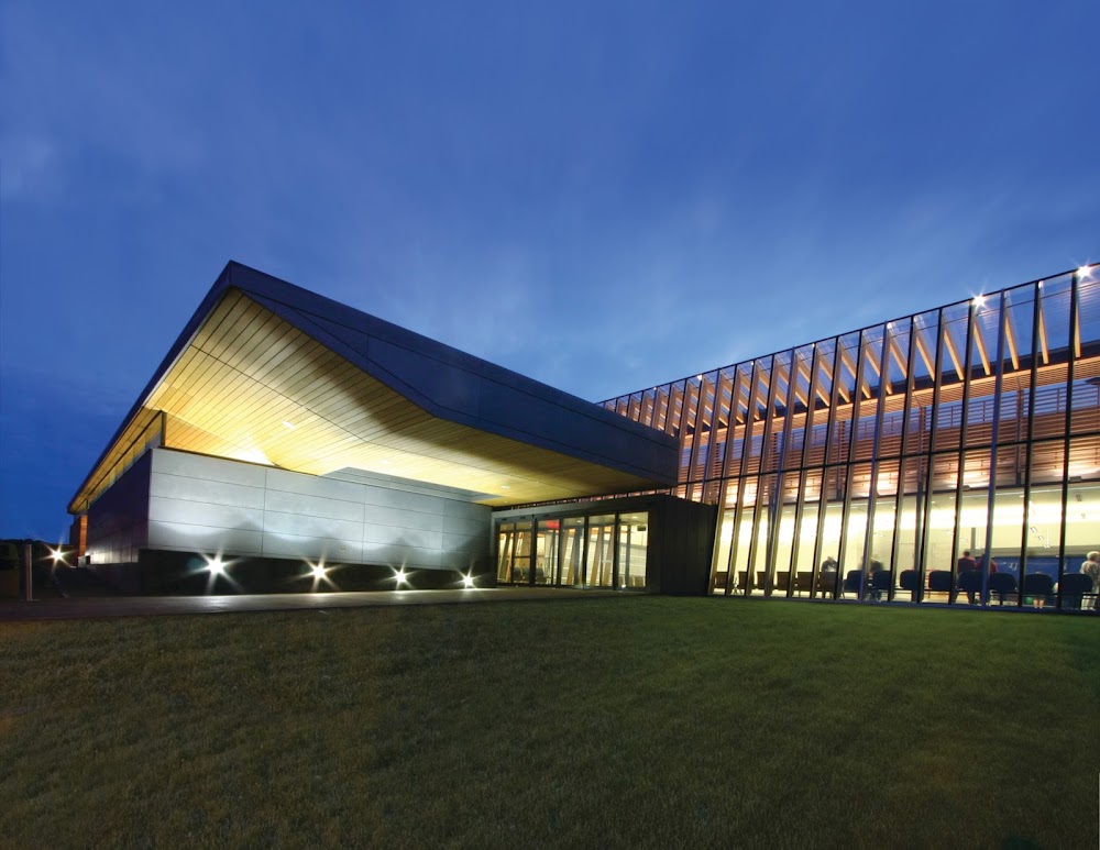
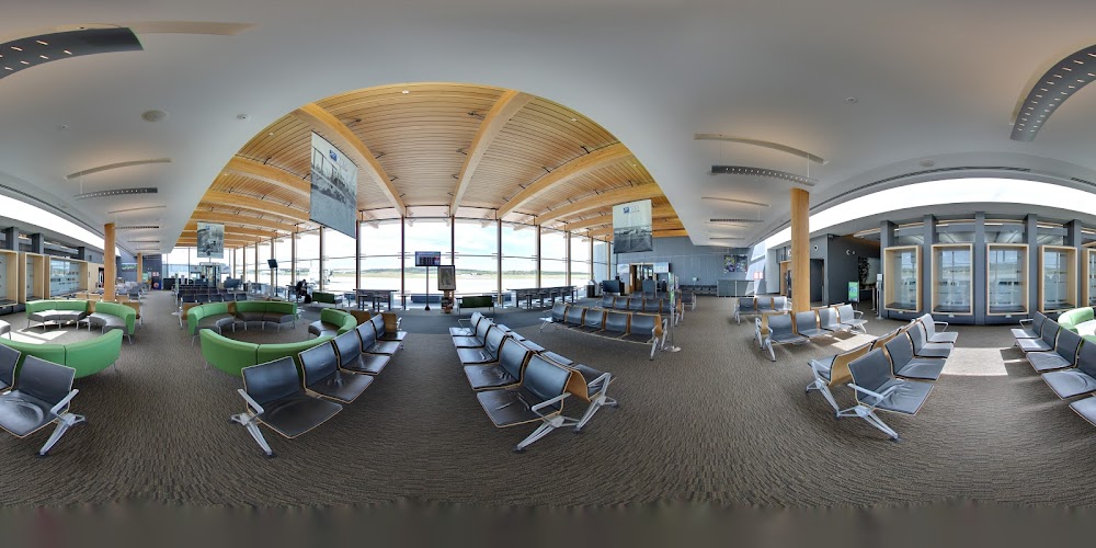
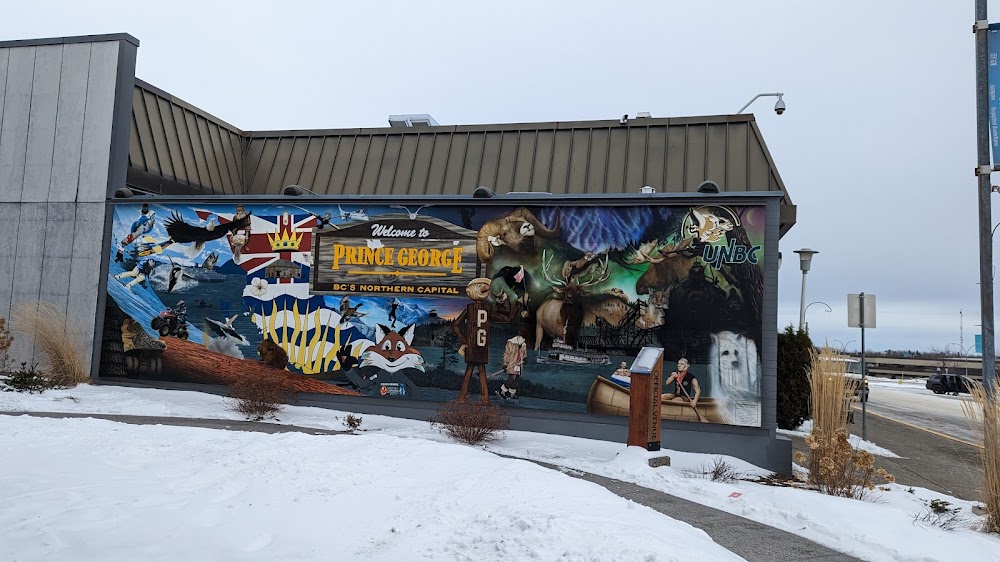
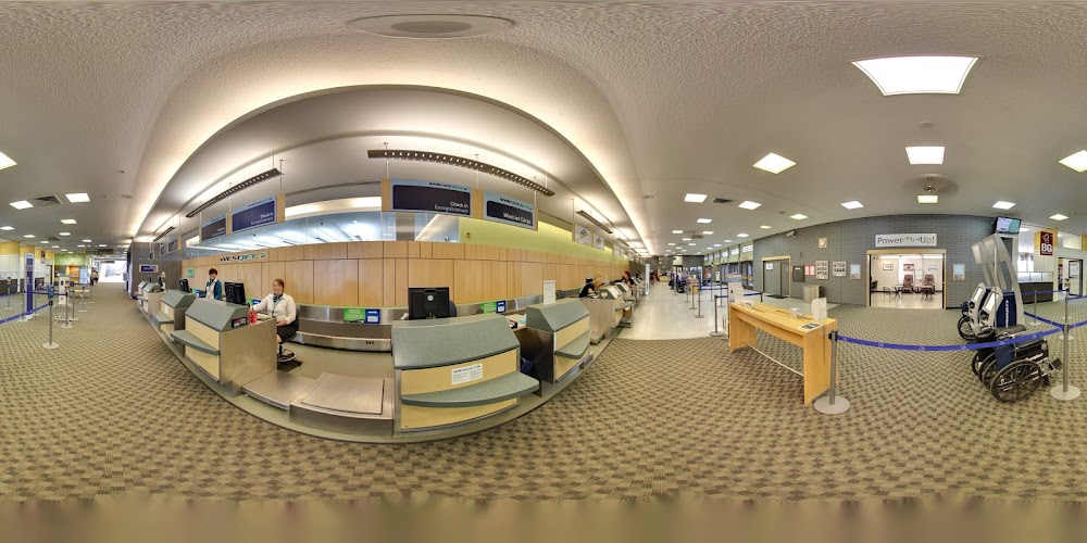
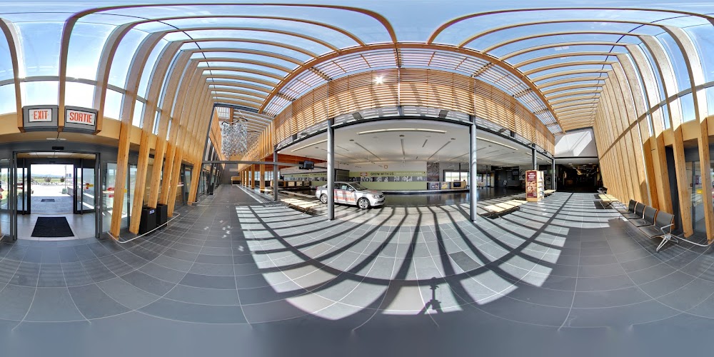
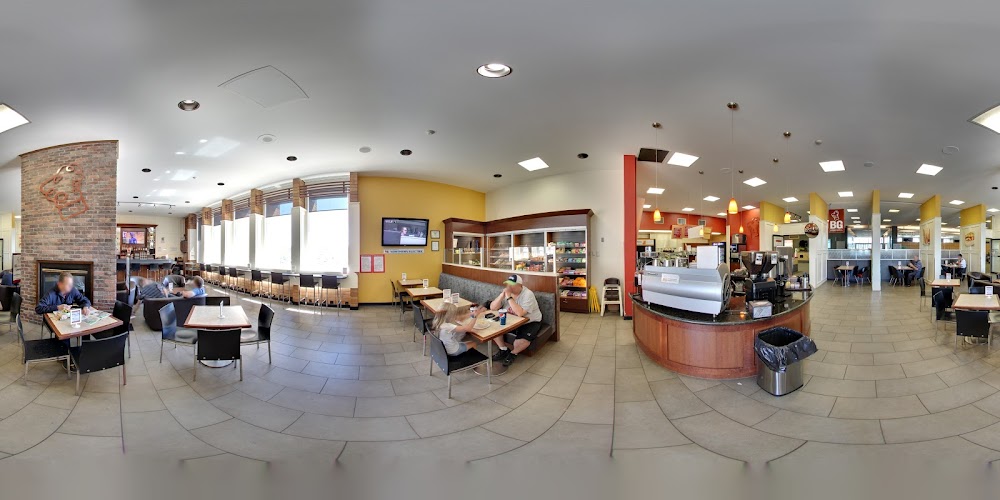
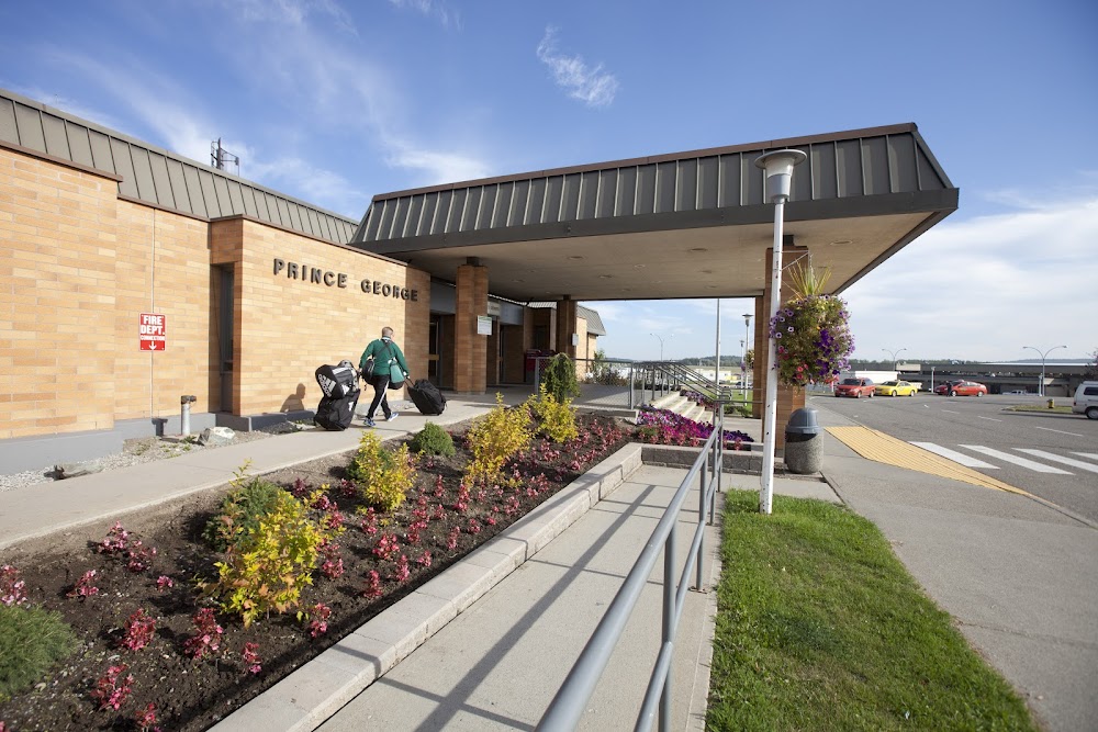
Prince George, British Columbia
Elevation:
2,267ft
Runway 15/33:
11,450ft
Runway 06/24:
5,624ft
Runway 01/19:
3,769ft
Warning: This airport was imported from a non-authoritative source. Its public/private status may not be accurate.
Access: Open to the public
Current Weather — VFR
-
Weather data is strictly informational and not for flight planning purposes.
-
METAR2026-07-20 15:00:00 PDT
Ceiling: Sky clear Wind: 360° @ 8kt Temperature: 69°F Dewpoint: 59°F Weather: N/A Visbility: 9SM Raw:METAR CYXS 202200Z AUTO 36008KT 9SM CLR 21/15 A3020 RMK SLP233 DENSITY ALT 3300FT -
TAF2026-07-20 12:00:00 PDT – 2026-07-20 14:00:00 PDT
Ceiling: Sky clear Wind: 000° @ kt Weather: N/A Visbility: SM Clouds: Scattered @ 400ft Raw:TAF CYXS 201840Z 2019/2107 36008KT P6SM BKN004 TEMPO 2019/2021 SCT004 FM202100 36008KT P6SM SCT040 TEMPO 2021/2107 5SM FU BECMG 2103/2105 VRB03KT RMK FCST BASED ON AUTO OBS. NXT FCST BY 210100Z -
TAF2026-07-20 12:00:00 PDT – 2026-07-20 14:00:00 PDT
Ceiling: 400ft Wind: 360° @ 8kt Weather: N/A Visbility: 6SM Clouds: Broken @ 400ft Raw:TAF CYXS 201840Z 2019/2107 36008KT P6SM BKN004 TEMPO 2019/2021 SCT004 FM202100 36008KT P6SM SCT040 TEMPO 2021/2107 5SM FU BECMG 2103/2105 VRB03KT RMK FCST BASED ON AUTO OBS. NXT FCST BY 210100Z -
TAF2026-07-20 14:00:00 PDT – 2026-07-21 00:00:00 PDT
Ceiling: Sky clear Wind: 000° @ kt Weather: Smoke Visbility: 5SM Raw:TAF CYXS 201840Z 2019/2107 36008KT P6SM BKN004 TEMPO 2019/2021 SCT004 FM202100 36008KT P6SM SCT040 TEMPO 2021/2107 5SM FU BECMG 2103/2105 VRB03KT RMK FCST BASED ON AUTO OBS. NXT FCST BY 210100Z -
TAF2026-07-20 14:00:00 PDT – 2026-07-20 20:00:00 PDT
Ceiling: Sky clear Wind: 360° @ 8kt Weather: N/A Visbility: 6SM Clouds: Scattered @ 4,000ft Raw:TAF CYXS 201840Z 2019/2107 36008KT P6SM BKN004 TEMPO 2019/2021 SCT004 FM202100 36008KT P6SM SCT040 TEMPO 2021/2107 5SM FU BECMG 2103/2105 VRB03KT RMK FCST BASED ON AUTO OBS. NXT FCST BY 210100Z -
TAF2026-07-20 20:00:00 PDT – 2026-07-21 00:00:00 PDT
Ceiling: Sky clear Wind: Variable Weather: N/A Visbility: 6SM Clouds: Scattered @ 4,000ft Raw:TAF CYXS 201840Z 2019/2107 36008KT P6SM BKN004 TEMPO 2019/2021 SCT004 FM202100 36008KT P6SM SCT040 TEMPO 2021/2107 5SM FU BECMG 2103/2105 VRB03KT RMK FCST BASED ON AUTO OBS. NXT FCST BY 210100Z
Click/tap to add an annotation marker to the map
Comments