Pirep is a free, collaborative database of all public and private airports. All pilots are welcome to contribute their local knowledge to any airport, no registration required.
Public
Undocumented
METAR / TAF
Edit Tags
No upcoming events. Is anything happening here soon?
Airport Statistics
- Airport map annotations
- Local flying clubs
- Landing & tie-down fees
Location:
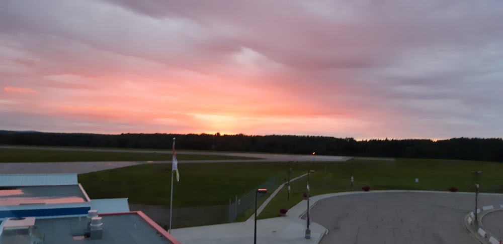
Fort Nelson, British Columbia
Elevation:
1,253ft
Runway 04/22:
6,400ft
Runway 07/25:
4,068ft
Runway 08/26:
3,575ft
Warning: This airport was imported from a non-authoritative source. Its public/private status may not be accurate.
Access: Open to the public
Current Weather — VFR
-
Weather data is strictly informational and not for flight planning purposes.
-
METAR2026-07-20 05:00:00 MST
Ceiling: 15,000ft Wind: Calm Temperature: 57°F Dewpoint: 53°F Weather: N/A Visbility: 12SM Clouds: Scattered @ 13,000ft, Broken @ 15,000ft Raw:METAR CYYE 201200Z 00000KT 12SM SCT130 BKN150 14/12 A3021 RMK FU2AC2AC2 SLP238 -
TAF2026-07-20 00:00:00 MST – 2026-07-20 02:00:00 MST
Ceiling: 8,000ft Wind: 000° @ kt Weather: Smoke Visbility: 5SM Clouds: Broken @ 8,000ft Raw:TAF CYYE 200640Z 2007/2019 VRB03KT P6SM SCT080 BKN120 TEMPO 2007/2009 5SM FU BKN080 FM200900 VRB03KT P6SM SCT050 OVC080 TEMPO 2009/2016 5SM FU OVC050 FM201600 VRB03KT P6SM SCT060 TEMPO 2016/2019 BKN060 RMK NXT FCST BY 201300Z -
TAF2026-07-20 00:00:00 MST – 2026-07-20 02:00:00 MST
Ceiling: 12,000ft Wind: Variable Weather: N/A Visbility: 6SM Clouds: Scattered @ 8,000ft, Broken @ 12,000ft Raw:TAF CYYE 200640Z 2007/2019 VRB03KT P6SM SCT080 BKN120 TEMPO 2007/2009 5SM FU BKN080 FM200900 VRB03KT P6SM SCT050 OVC080 TEMPO 2009/2016 5SM FU OVC050 FM201600 VRB03KT P6SM SCT060 TEMPO 2016/2019 BKN060 RMK NXT FCST BY 201300Z -
TAF2026-07-20 02:00:00 MST – 2026-07-20 09:00:00 MST
Ceiling: 8,000ft Wind: Variable Weather: N/A Visbility: 6SM Clouds: Scattered @ 5,000ft, Overcast @ 8,000ft Raw:TAF CYYE 200640Z 2007/2019 VRB03KT P6SM SCT080 BKN120 TEMPO 2007/2009 5SM FU BKN080 FM200900 VRB03KT P6SM SCT050 OVC080 TEMPO 2009/2016 5SM FU OVC050 FM201600 VRB03KT P6SM SCT060 TEMPO 2016/2019 BKN060 RMK NXT FCST BY 201300Z -
TAF2026-07-20 02:00:00 MST – 2026-07-20 09:00:00 MST
Ceiling: 5,000ft Wind: 000° @ kt Weather: Smoke Visbility: 5SM Clouds: Overcast @ 5,000ft Raw:TAF CYYE 200640Z 2007/2019 VRB03KT P6SM SCT080 BKN120 TEMPO 2007/2009 5SM FU BKN080 FM200900 VRB03KT P6SM SCT050 OVC080 TEMPO 2009/2016 5SM FU OVC050 FM201600 VRB03KT P6SM SCT060 TEMPO 2016/2019 BKN060 RMK NXT FCST BY 201300Z -
TAF2026-07-20 09:00:00 MST – 2026-07-20 12:00:00 MST
Ceiling: Sky clear Wind: Variable Weather: N/A Visbility: 6SM Clouds: Scattered @ 6,000ft Raw:TAF CYYE 200640Z 2007/2019 VRB03KT P6SM SCT080 BKN120 TEMPO 2007/2009 5SM FU BKN080 FM200900 VRB03KT P6SM SCT050 OVC080 TEMPO 2009/2016 5SM FU OVC050 FM201600 VRB03KT P6SM SCT060 TEMPO 2016/2019 BKN060 RMK NXT FCST BY 201300Z -
TAF2026-07-20 09:00:00 MST – 2026-07-20 12:00:00 MST
Ceiling: 6,000ft Wind: 000° @ kt Weather: N/A Visbility: SM Clouds: Broken @ 6,000ft Raw:TAF CYYE 200640Z 2007/2019 VRB03KT P6SM SCT080 BKN120 TEMPO 2007/2009 5SM FU BKN080 FM200900 VRB03KT P6SM SCT050 OVC080 TEMPO 2009/2016 5SM FU OVC050 FM201600 VRB03KT P6SM SCT060 TEMPO 2016/2019 BKN060 RMK NXT FCST BY 201300Z
Click/tap to add an annotation marker to the map
No webcams added yet.
Comments