Pirep is a free, collaborative database of all public and private airports. All pilots are welcome to contribute their local knowledge to any airport, no registration required.


Public
Undocumented
METAR / TAF
Edit Tags
No upcoming events. Is anything happening here soon?
Airport Statistics
- WiFi availability
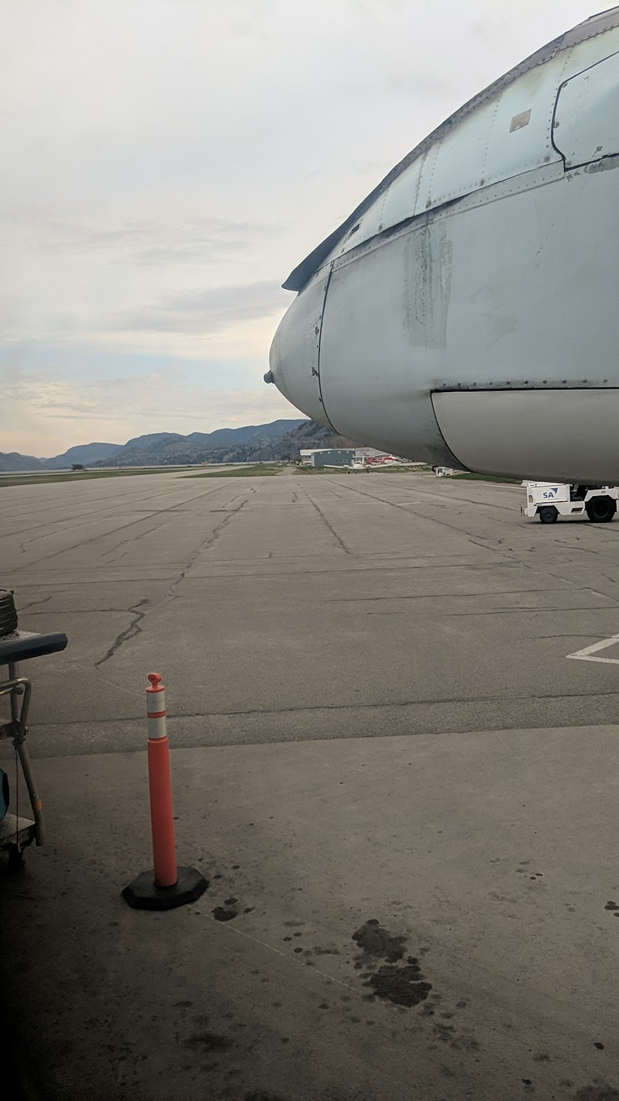
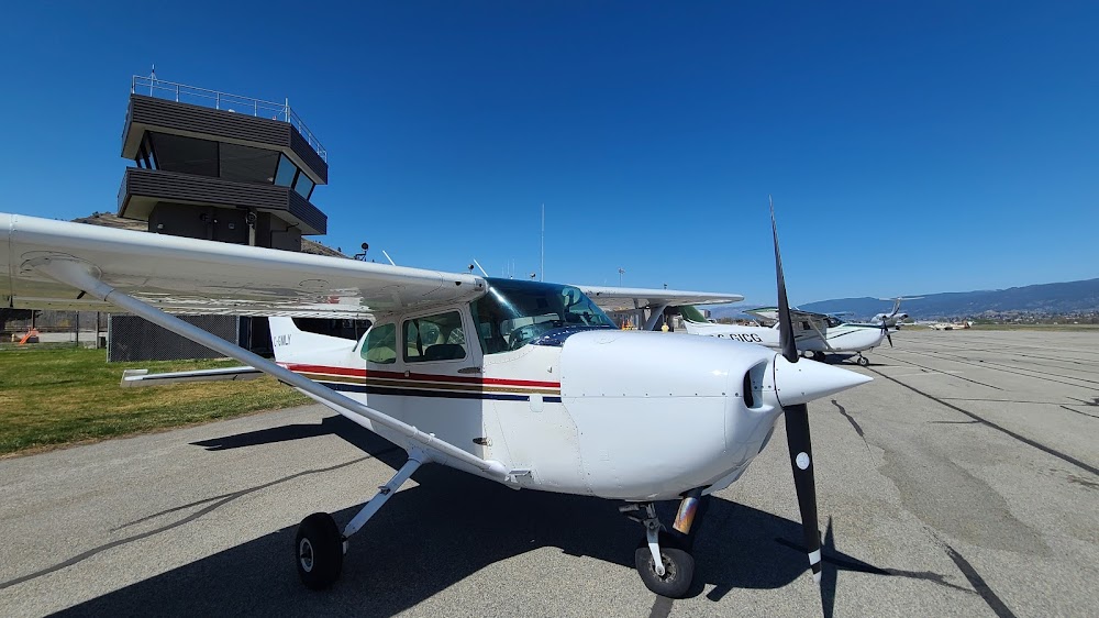
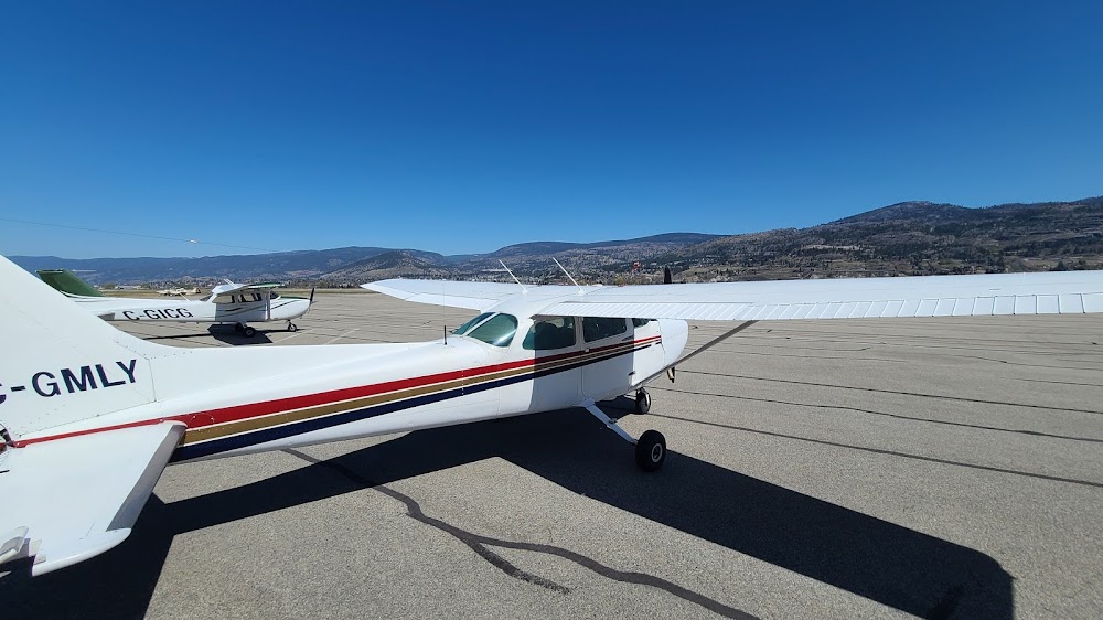
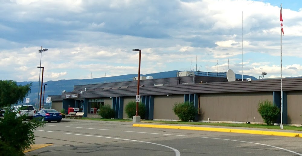
- Airport photos
- Airport map annotations
Location:
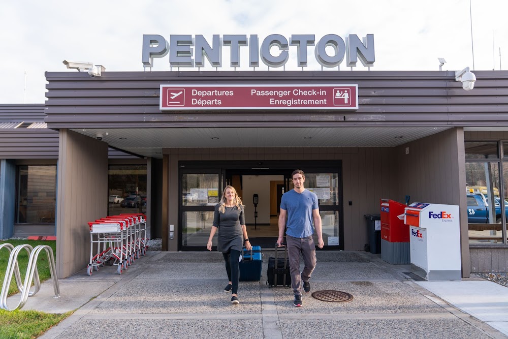
Penticton, CN
Elevation:
1,129ft
Activation date:
Mar 2005
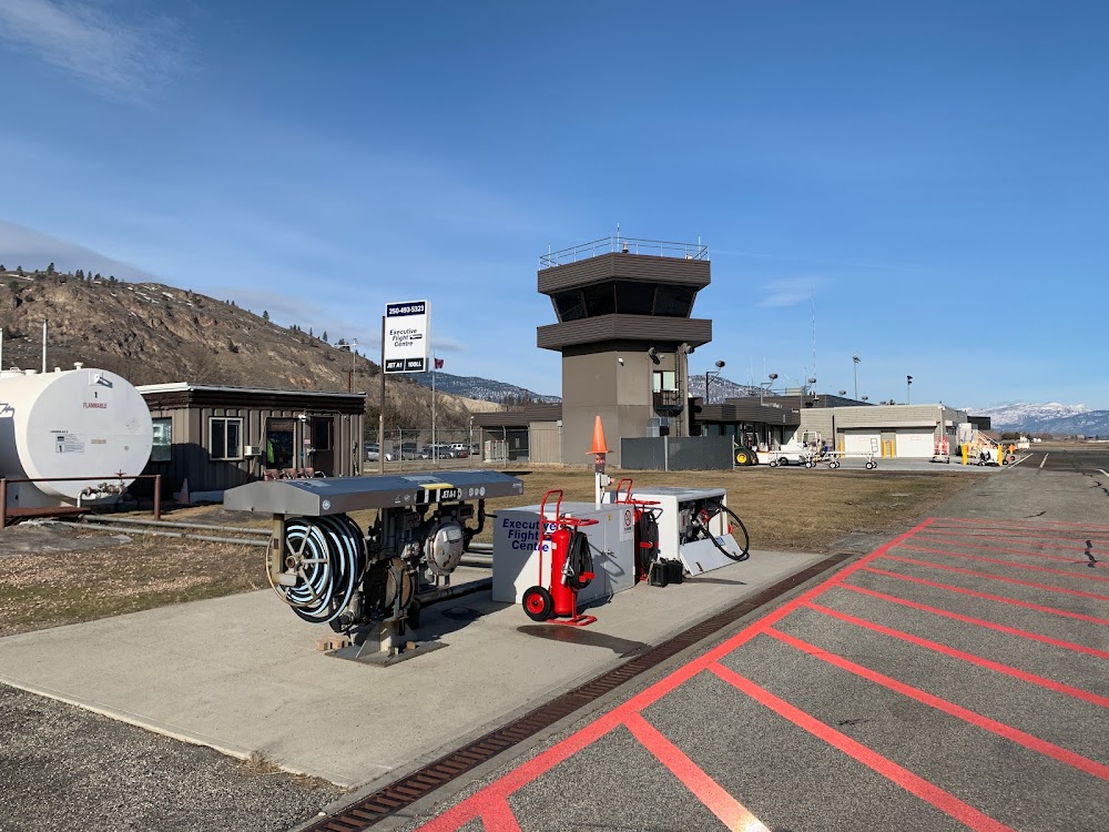
Fuel:
None
Runway 16/34:
6,000ft
Access: Open to the public
Current Weather — VFR
-
Weather data is strictly informational and not for flight planning purposes.
-
METAR2026-07-15 23:00:00 PDT
Ceiling: Sky clear Wind: 130° @ 5kt Temperature: 80°F Dewpoint: 53°F Weather: N/A Visbility: 15SM Clouds: Few @ 9,000ft, Scattered @ 17,000ft Raw:METAR CYYF 160600Z 13005KT 100V230 15SM FEW090 SCT170 27/12 A2993 RMK AC1AC3 SLP127 DENSITY ALT 2800FT -
TAF2026-07-15 18:00:00 PDT – 2026-07-15 19:00:00 PDT
Ceiling: Sky clear Wind: 190° @ 8kt Weather: N/A Visbility: 6SM Clouds: Scattered @ 8,000ft Raw:TAF CYYF 160040Z 1601/1613 19008KT P6SM SCT080 TEMPO 1601/1602 VRB15G25KT P6SM -SHRA BKN080 PROB30 1601/1602 VRB20G30KT 5SM TSRA BKN080CB FM160200 17012G22KT P6SM SCT090 TEMPO 1602/1604 P6SM VCTS BKN090CB FM160400 18008KT P6SM FEW110 BECMG 1605/1607 VRB03KT FM160800 35005KT P6SM BKN180 RMK NXT FCST BY 160700Z -
TAF2026-07-15 18:00:00 PDT – 2026-07-15 19:00:00 PDT
Ceiling: 8,000ft Wind: Variable, gusts 30kt Weather: Thunderstorm rain Visbility: 5SM Clouds: Broken @ 8,000ft Raw:TAF CYYF 160040Z 1601/1613 19008KT P6SM SCT080 TEMPO 1601/1602 VRB15G25KT P6SM -SHRA BKN080 PROB30 1601/1602 VRB20G30KT 5SM TSRA BKN080CB FM160200 17012G22KT P6SM SCT090 TEMPO 1602/1604 P6SM VCTS BKN090CB FM160400 18008KT P6SM FEW110 BECMG 1605/1607 VRB03KT FM160800 35005KT P6SM BKN180 RMK NXT FCST BY 160700Z -
TAF2026-07-15 18:00:00 PDT – 2026-07-15 19:00:00 PDT
Ceiling: 8,000ft Wind: Variable, gusts 25kt Weather: Light rain showers Visbility: 6SM Clouds: Broken @ 8,000ft Raw:TAF CYYF 160040Z 1601/1613 19008KT P6SM SCT080 TEMPO 1601/1602 VRB15G25KT P6SM -SHRA BKN080 PROB30 1601/1602 VRB20G30KT 5SM TSRA BKN080CB FM160200 17012G22KT P6SM SCT090 TEMPO 1602/1604 P6SM VCTS BKN090CB FM160400 18008KT P6SM FEW110 BECMG 1605/1607 VRB03KT FM160800 35005KT P6SM BKN180 RMK NXT FCST BY 160700Z -
TAF2026-07-15 19:00:00 PDT – 2026-07-15 21:00:00 PDT
Ceiling: Sky clear Wind: 170° @ 12kt, gusts 22kt Weather: N/A Visbility: 6SM Clouds: Scattered @ 9,000ft Raw:TAF CYYF 160040Z 1601/1613 19008KT P6SM SCT080 TEMPO 1601/1602 VRB15G25KT P6SM -SHRA BKN080 PROB30 1601/1602 VRB20G30KT 5SM TSRA BKN080CB FM160200 17012G22KT P6SM SCT090 TEMPO 1602/1604 P6SM VCTS BKN090CB FM160400 18008KT P6SM FEW110 BECMG 1605/1607 VRB03KT FM160800 35005KT P6SM BKN180 RMK NXT FCST BY 160700Z -
TAF2026-07-15 19:00:00 PDT – 2026-07-15 21:00:00 PDT
Ceiling: 9,000ft Wind: 000° @ kt Weather: Thunderstorm in vicinity Visbility: 6SM Clouds: Broken @ 9,000ft Raw:TAF CYYF 160040Z 1601/1613 19008KT P6SM SCT080 TEMPO 1601/1602 VRB15G25KT P6SM -SHRA BKN080 PROB30 1601/1602 VRB20G30KT 5SM TSRA BKN080CB FM160200 17012G22KT P6SM SCT090 TEMPO 1602/1604 P6SM VCTS BKN090CB FM160400 18008KT P6SM FEW110 BECMG 1605/1607 VRB03KT FM160800 35005KT P6SM BKN180 RMK NXT FCST BY 160700Z -
TAF2026-07-15 21:00:00 PDT – 2026-07-15 22:00:00 PDT
Ceiling: Sky clear Wind: 180° @ 8kt Weather: N/A Visbility: 6SM Clouds: Few @ 11,000ft Raw:TAF CYYF 160040Z 1601/1613 19008KT P6SM SCT080 TEMPO 1601/1602 VRB15G25KT P6SM -SHRA BKN080 PROB30 1601/1602 VRB20G30KT 5SM TSRA BKN080CB FM160200 17012G22KT P6SM SCT090 TEMPO 1602/1604 P6SM VCTS BKN090CB FM160400 18008KT P6SM FEW110 BECMG 1605/1607 VRB03KT FM160800 35005KT P6SM BKN180 RMK NXT FCST BY 160700Z -
TAF2026-07-15 22:00:00 PDT – 2026-07-16 01:00:00 PDT
Ceiling: Sky clear Wind: Variable Weather: N/A Visbility: 6SM Clouds: Few @ 11,000ft Raw:TAF CYYF 160040Z 1601/1613 19008KT P6SM SCT080 TEMPO 1601/1602 VRB15G25KT P6SM -SHRA BKN080 PROB30 1601/1602 VRB20G30KT 5SM TSRA BKN080CB FM160200 17012G22KT P6SM SCT090 TEMPO 1602/1604 P6SM VCTS BKN090CB FM160400 18008KT P6SM FEW110 BECMG 1605/1607 VRB03KT FM160800 35005KT P6SM BKN180 RMK NXT FCST BY 160700Z -
TAF2026-07-16 01:00:00 PDT – 2026-07-16 06:00:00 PDT
Ceiling: 18,000ft Wind: 350° @ 5kt Weather: N/A Visbility: 6SM Clouds: Broken @ 18,000ft Raw:TAF CYYF 160040Z 1601/1613 19008KT P6SM SCT080 TEMPO 1601/1602 VRB15G25KT P6SM -SHRA BKN080 PROB30 1601/1602 VRB20G30KT 5SM TSRA BKN080CB FM160200 17012G22KT P6SM SCT090 TEMPO 1602/1604 P6SM VCTS BKN090CB FM160400 18008KT P6SM FEW110 BECMG 1605/1607 VRB03KT FM160800 35005KT P6SM BKN180 RMK NXT FCST BY 160700Z
Click/tap to add an annotation marker to the map
No webcams added yet.
Comments