Pirep is a free, collaborative database of all public and private airports. All pilots are welcome to contribute their local knowledge to any airport, no registration required.


Public
Undocumented
METAR / TAF
Edit Tags
No upcoming events. Is anything happening here soon?
Airport Statistics
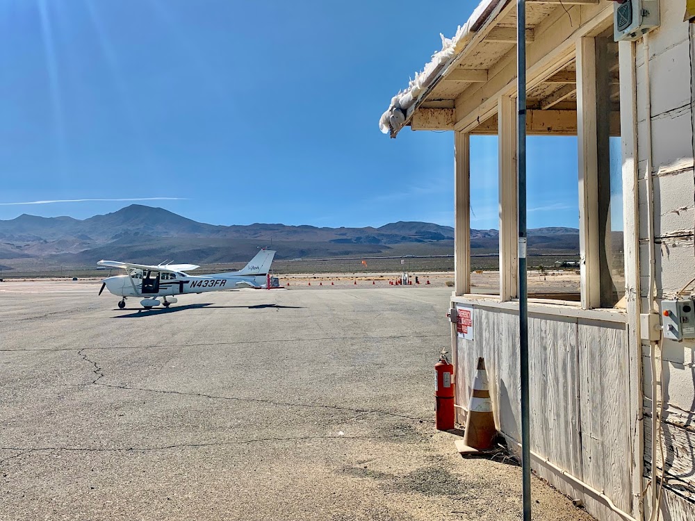
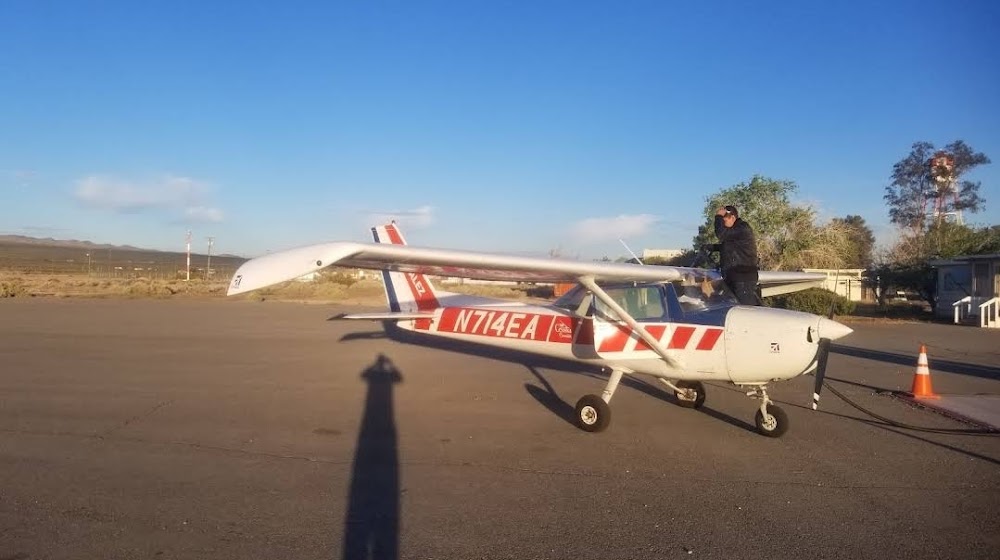
- Transient parking location
- Local flying clubs
- Tags
Location:
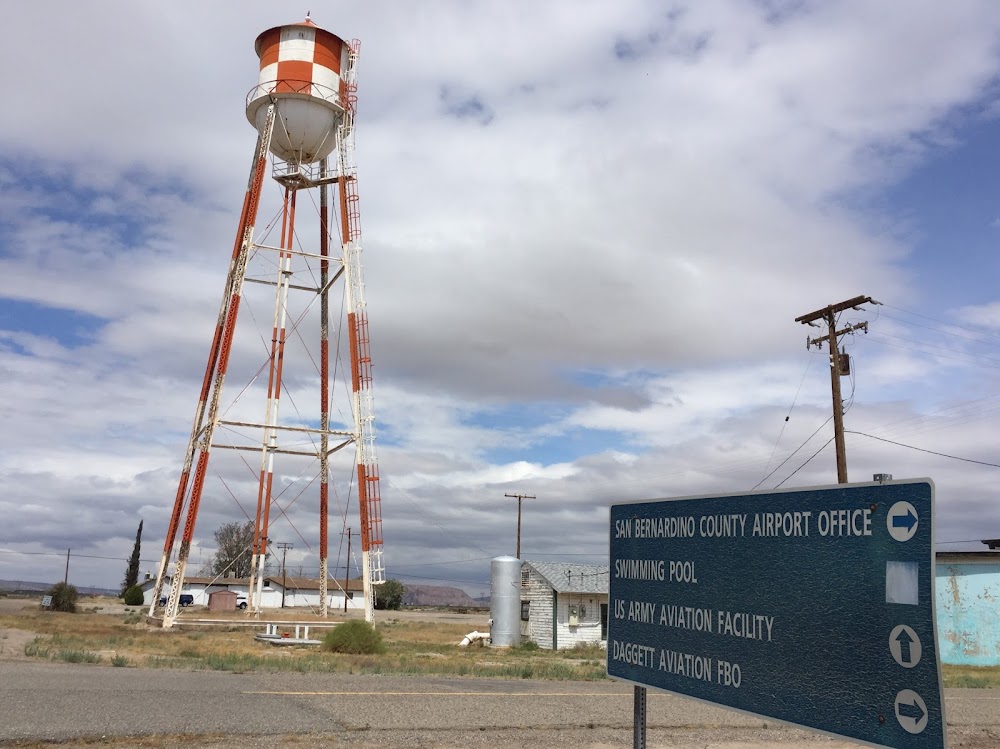
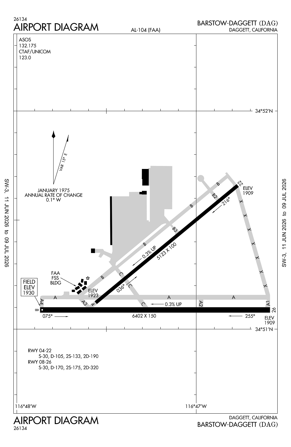
Daggett, CA
Elevation:
1,930ft
Sectional:
Los Angeles
Activation date:
May 1941
Fuel:
100LL, A (prices)
Runway 08/26:
6,402ft
Runway 04/22:
5,123ft
Access: Open to the public
Current Weather — VFR
-
Weather data is strictly informational and not for flight planning purposes.
-
METAR2026-07-20 16:50:00 PDT
Ceiling: Sky clear Wind: 290° @ 12kt, gusts 21kt Temperature: 100°F Dewpoint: 46°F Weather: N/A Visbility: 10SM Raw:METAR KDAG 202350Z AUTO 29012G21KT 10SM CLR 38/08 A2984 RMK AO2 SLP073 T03780083 10394 20344 56017 $ -
TAF2026-07-20 17:00:00 PDT – 2026-07-21 02:00:00 PDT
Ceiling: Sky clear Wind: 260° @ 15kt, gusts 25kt Weather: N/A Visbility: 6SM Clouds: Scattered @ 10,000ft Raw:TAF KDAG 202320Z 2100/2124 26015G25KT P6SM SCT100 FM210900 28011KT P6SM FEW100 FM211900 28006KT P6SM SCT100 -
TAF2026-07-21 02:00:00 PDT – 2026-07-21 12:00:00 PDT
Ceiling: Sky clear Wind: 280° @ 11kt Weather: N/A Visbility: 6SM Clouds: Few @ 10,000ft Raw:TAF KDAG 202320Z 2100/2124 26015G25KT P6SM SCT100 FM210900 28011KT P6SM FEW100 FM211900 28006KT P6SM SCT100 -
TAF2026-07-21 12:00:00 PDT – 2026-07-21 17:00:00 PDT
Ceiling: Sky clear Wind: 280° @ 6kt Weather: N/A Visbility: 6SM Clouds: Scattered @ 10,000ft Raw:TAF KDAG 202320Z 2100/2124 26015G25KT P6SM SCT100 FM210900 28011KT P6SM FEW100 FM211900 28006KT P6SM SCT100
Click/tap to add an annotation marker to the map
No webcams added yet.
Remarks
- E-w twy parallel to rwy 08/26 wt brg cpty limited to s-12.
- Paew invof army ramp. extsv military helicopter traffic invof arpt.
- For cd if una to ctc on fss freq, ctc los angeles artcc at 661-575-2079.
- Actvt mirl rwy 4/22 & 8/26 - ctaf. papi rwy 08, 22, & 26 opr consly.
Comments