Pirep is a free, collaborative database of all public and private airports. All pilots are welcome to contribute their local knowledge to any airport, no registration required.

No upcoming events. Is anything happening here soon?
Last updated: 2024-02-05 22:14:58 CST
Airport Statistics
- Landing & tie-down fees
- Webcam links
- Fuel pump location
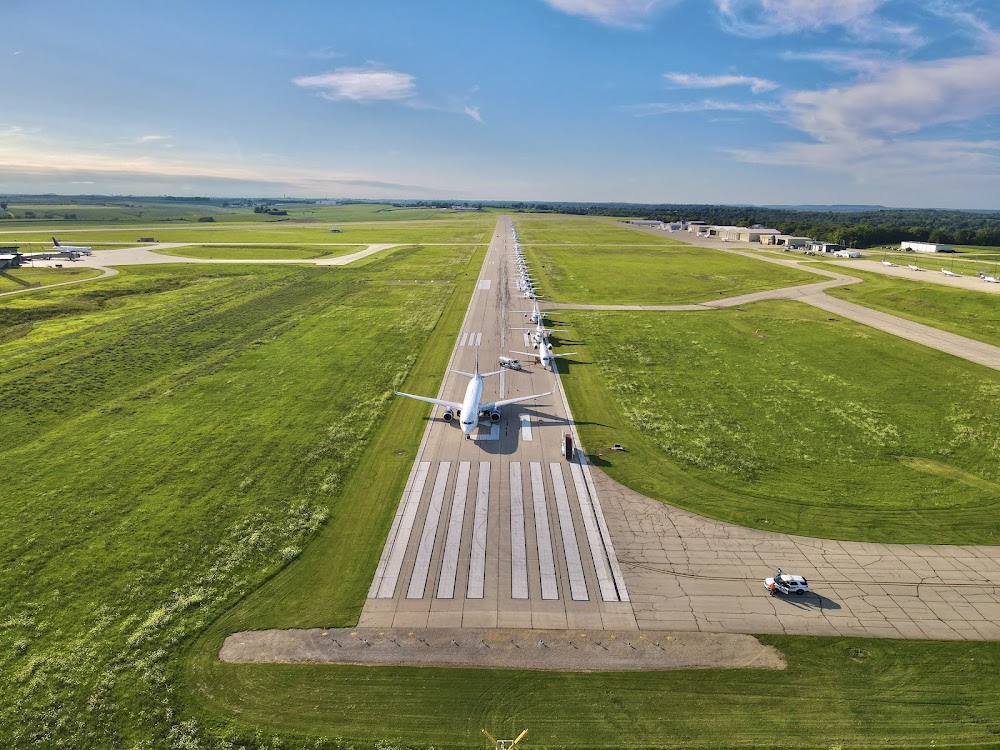
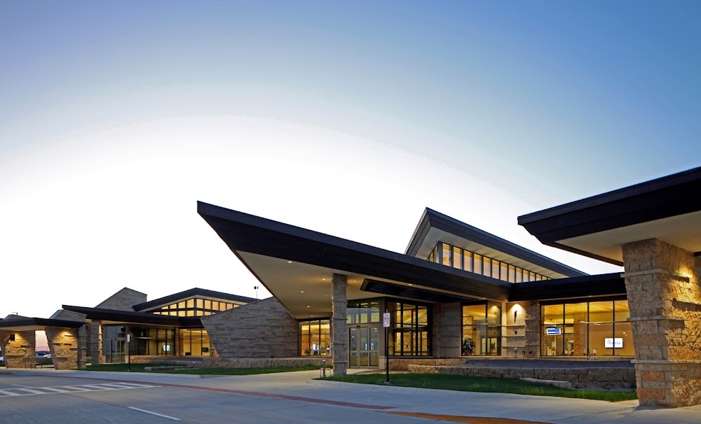
Location:
Dubuque, IA
Elevation:
1,076ft
Sectional:
Chicago
Activation date:
Mar 1943
Fuel:
100LL, A1+ (prices)
Runway 13/31:
6,502ft
Runway 18/36:
6,327ft
Access: Open to the public
Similar Airports
Current Weather — VFR
-
Weather data is strictly informational and not for flight planning purposes.
-
METAR2026-07-26 17:53:00 CDT
Ceiling: Sky clear Wind: 200° @ 5kt Temperature: 89°F Dewpoint: 80°F Weather: N/A Visbility: 10SM Raw:METAR KDBQ 262253Z 20005KT 10SM CLR 32/27 A2987 RMK AO2 SLP106 T03170272 $ -
TAF2026-07-26 19:00:00 CDT – 2026-07-27 00:00:00 CDT
Ceiling: Sky clear Wind: 200° @ 5kt Weather: N/A Visbility: 6SM Clouds: Scattered @ 10,000ft Raw:TAF KDBQ 262320Z 2700/2724 20005KT P6SM SCT100 FM270500 18005KT 6SM HZ SCT150 PROB30 2710/2714 4SM TSRA OVC035CB FM271500 18010KT P6SM SCT100 -
TAF2026-07-27 00:00:00 CDT – 2026-07-27 10:00:00 CDT
Ceiling: Sky clear Wind: 180° @ 5kt Weather: Haze Visbility: 6SM Clouds: Scattered @ 15,000ft Raw:TAF KDBQ 262320Z 2700/2724 20005KT P6SM SCT100 FM270500 18005KT 6SM HZ SCT150 PROB30 2710/2714 4SM TSRA OVC035CB FM271500 18010KT P6SM SCT100 -
TAF2026-07-27 05:00:00 CDT – 2026-07-27 09:00:00 CDT
Ceiling: 3,500ft Wind: 000° @ kt Weather: Thunderstorm rain Visbility: 4SM Clouds: Overcast @ 3,500ft Raw:TAF KDBQ 262320Z 2700/2724 20005KT P6SM SCT100 FM270500 18005KT 6SM HZ SCT150 PROB30 2710/2714 4SM TSRA OVC035CB FM271500 18010KT P6SM SCT100 -
TAF2026-07-27 10:00:00 CDT – 2026-07-27 19:00:00 CDT
Ceiling: Sky clear Wind: 180° @ 10kt Weather: N/A Visbility: 6SM Clouds: Scattered @ 10,000ft Raw:TAF KDBQ 262320Z 2700/2724 20005KT P6SM SCT100 FM270500 18005KT 6SM HZ SCT150 PROB30 2710/2714 4SM TSRA OVC035CB FM271500 18010KT P6SM SCT100
Click/tap to add an annotation marker to the map

No webcams added yet.
Remarks
- Atc-ctl
- Ppr for unsked acr opns call amgr (563) 589-4136. arff index b level equip is provided.
- Waterfowl on & invof arpt.
- 100ll self service fuel station avbl at t-hgrs 24hrs. area not vsb by twr.
- Acft departing ry 36, the apch ends of ry 31 and ry 18 are not visible for aprxly the first 3000 ft of tkof roll.
Comments