Pirep is a free, collaborative database of all public and private airports. All pilots are welcome to contribute their local knowledge to any airport, no registration required.


Public
Undocumented
METAR / TAF
Edit Tags
No upcoming events. Is anything happening here soon?
Airport Statistics
- Crew car availability
- WiFi availability
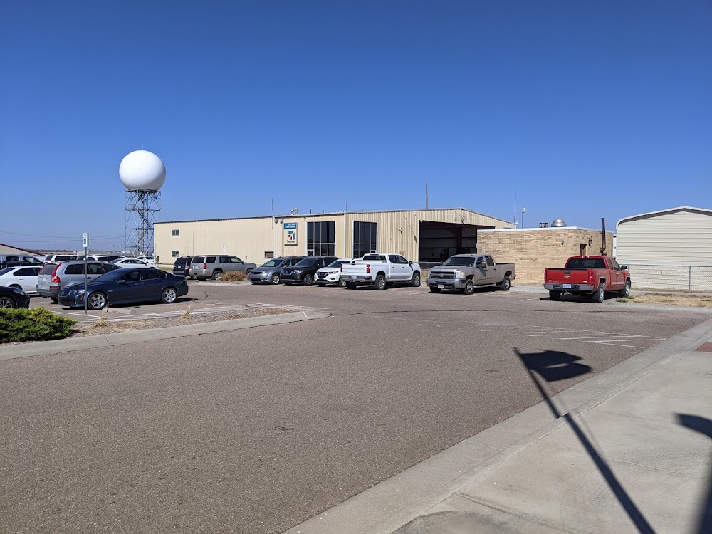
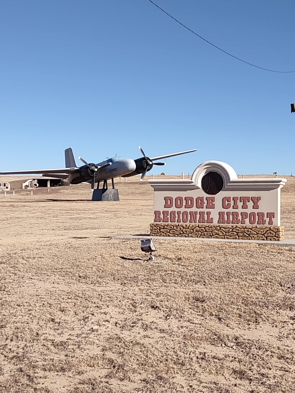
- Airport photos
Location:
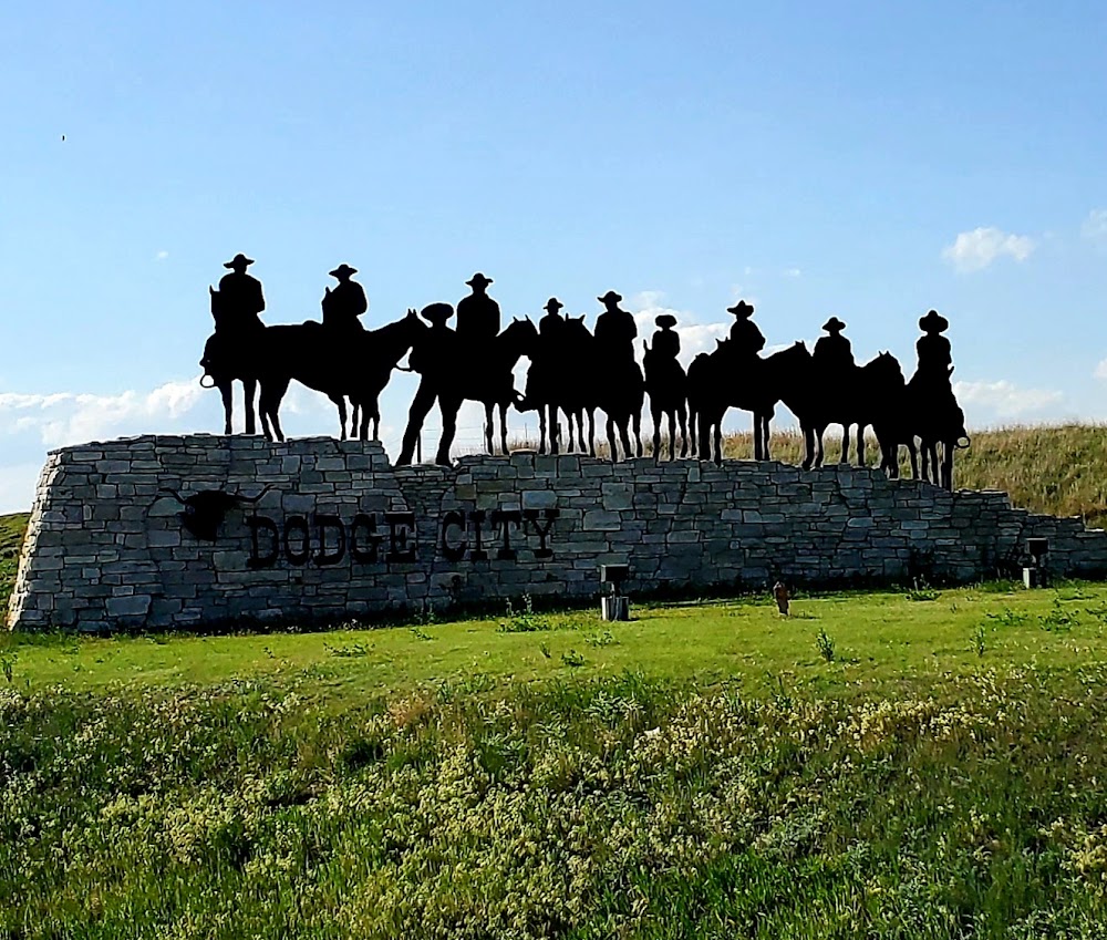
Dodge City, KS
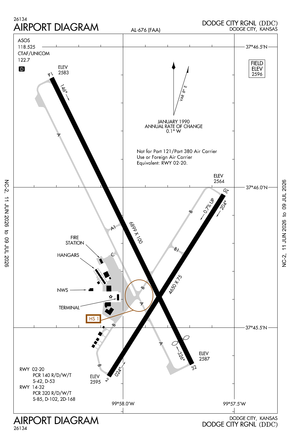
Elevation:
2,595ft
Sectional:
Wichita
Activation date:
Apr 1940
Fuel:
100LL, A (prices)
Runway 14/32:
6,899ft
Runway 02/20:
4,650ft
Access: Open to the public
Current Weather — VFR
-
Weather data is strictly informational and not for flight planning purposes.
-
METAR2026-07-16 12:52:00 CDT
Ceiling: Sky clear Wind: 140° @ 13kt, gusts 19kt Temperature: 87°F Dewpoint: 62°F Weather: N/A Visbility: 7SM Clouds: Few @ 5,500ft Raw:METAR KDDC 161752Z AUTO 14013G19KT 7SM FEW055 31/17 A3011 RMK AO2 SLP161 T03110167 10317 20189 57005 -
TAF2026-07-16 13:00:00 CDT – 2026-07-16 21:00:00 CDT
Ceiling: Sky clear Wind: 160° @ 12kt, gusts 20kt Weather: N/A Visbility: 6SM Clouds: Scattered @ 6,000ft Raw:TAF KDDC 161720Z 1618/1718 16012G20KT P6SM SCT060 FM170200 18009KT P6SM FEW250 TEMPO 1710/1714 4SM BR SCT010 -
TAF2026-07-16 21:00:00 CDT – 2026-07-17 13:00:00 CDT
Ceiling: Sky clear Wind: 180° @ 9kt Weather: N/A Visbility: 6SM Clouds: Few @ 25,000ft Raw:TAF KDDC 161720Z 1618/1718 16012G20KT P6SM SCT060 FM170200 18009KT P6SM FEW250 TEMPO 1710/1714 4SM BR SCT010 -
TAF2026-07-17 05:00:00 CDT – 2026-07-17 09:00:00 CDT
Ceiling: Sky clear Wind: 000° @ kt Weather: Mist Visbility: 4SM Clouds: Scattered @ 1,000ft Raw:TAF KDDC 161720Z 1618/1718 16012G20KT P6SM SCT060 FM170200 18009KT P6SM FEW250 TEMPO 1710/1714 4SM BR SCT010
Click/tap to add an annotation marker to the map
No webcams added yet.
Remarks
- Arff index b equipment is provided. 24 hrs ppr for unsked acr opns with more than 30 passenger seats; call ford county communications at 620-227-4646.
- Rwy ends 02 & 20 not vsb fm opposite ends.
- For cd if una to ctc on fss freq, ctc kansas city artcc at 913-254-8508.
- Dusk-dawn. actvt malsr rwy 14; reil rwy 32; papi rwy 02 & 20, vasi rwy 14 & 32; mirl rwy 14/32 & 02/20 - ctaf
- Twy b btn e side rwy 14/32 & apch end rwy 20, twy b south end of s apron & apch apch end of rwy 02 & twy b1 unusbl by acr.
Comments