Pirep is a free, collaborative database of all public and private airports. All pilots are welcome to contribute their local knowledge to any airport, no registration required.
Public
Undocumented
METAR / TAF
Edit Tags
No upcoming events. Is anything happening here soon?
Airport Statistics
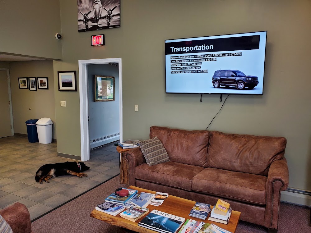
- WiFi availability
- Fuel pump location
- Webcam links
Location:
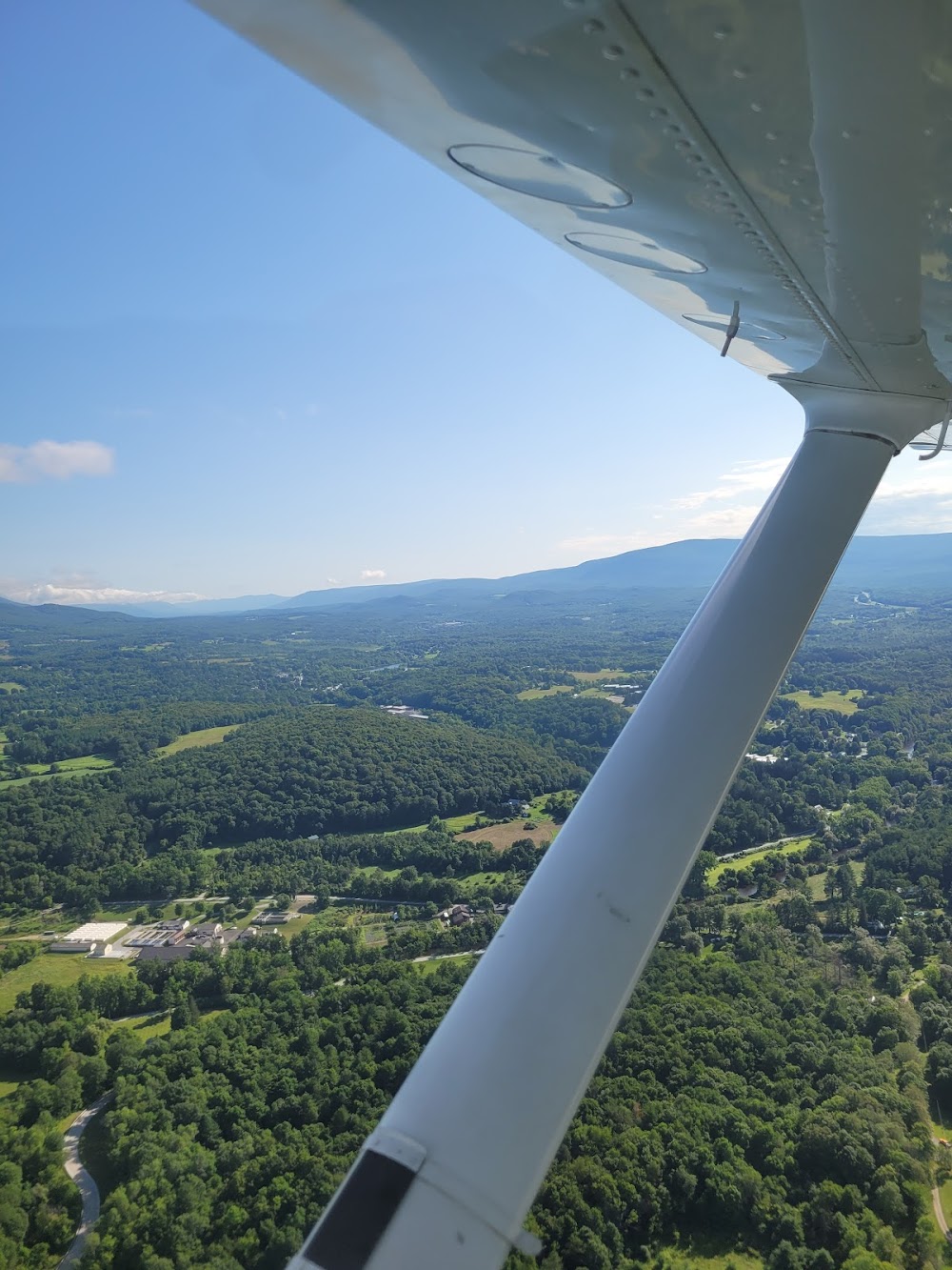
Bennington, VT
Elevation:
826ft
Sectional:
New York
Activation date:
Dec 1937
Fuel:
100LL, A (prices)
Runway 13/31:
3,704ft
Access: Open to the public
Current Weather — VFR
-
Weather data is strictly informational and not for flight planning purposes.
-
METAR2026-07-20 12:54:00 EDT
Ceiling: Sky clear Wind: Calm Temperature: 73°F Dewpoint: 51°F Weather: N/A Visbility: 10SM Clouds: Few @ 5,500ft Raw:METAR KDDH 201654Z AUTO 00000KT 10SM FEW055 23/11 A3000 RMK AO2 SLP157 T02330111
Click/tap to add an annotation marker to the map
No webcams added yet.
Remarks
- This airport has been surveyed by the national geodetic survey.
- Existed prior to 1959.
- Rwy conds may not be mnt or rprtd when arpt is unatndd.
- Noise abatement procs in efct. avoid flt ovr homes se of arpt. noise sens area aer 31. rwy 13 is preferred use rwy. if practical, dep rwy 13 using best roc & when abv 400 ft agl, turn l wi 1 mi of der 13.
- Birds on & invof arpt.
- Gco avbl on freq 121.725 thru btv cd & flt svcs. ots indefly.
- Rwy 13 thr hazus bird actvty.
- Mts all quads.
Comments