Pirep is a free, collaborative database of all public and private airports. All pilots are welcome to contribute their local knowledge to any airport, no registration required.
No upcoming events. Is anything happening here soon?
Last updated: 2023-05-30 01:01:58 CDT
Airport Statistics
- Crew car availability
- Local flying clubs
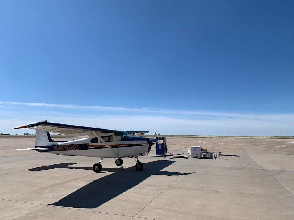
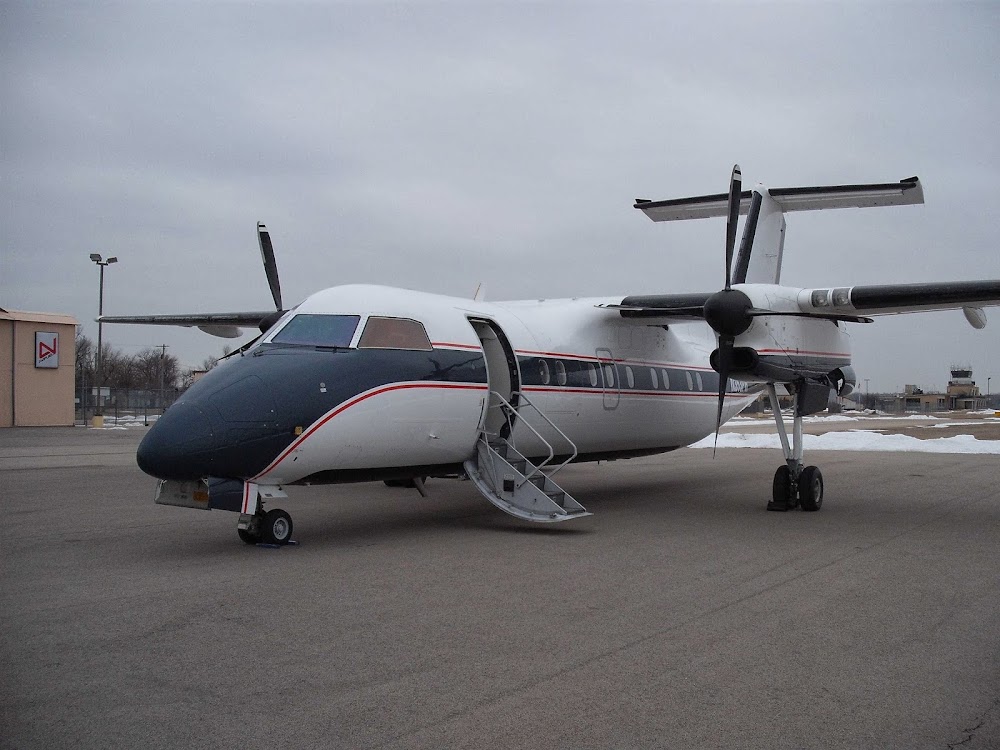
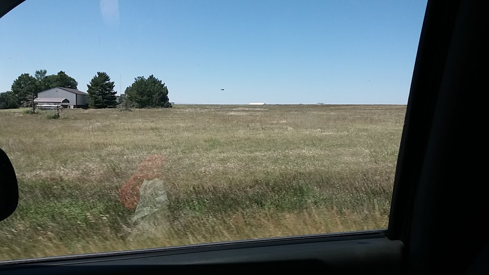
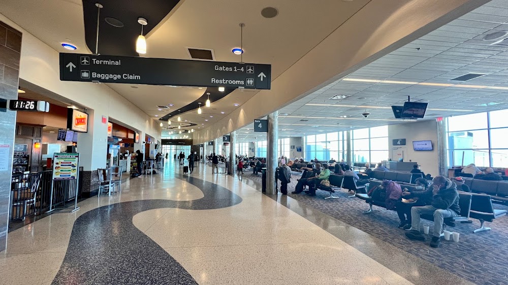
- Airport photos
Location:
Dalhart, TX
Elevation:
3,991ft
Sectional:
Wichita
Activation date:
Jul 1943
Fuel:
100LL, A1 (prices)
Runway 17/35:
6,400ft
Runway 03/21:
5,440ft
Access: Open to the public
Similar Airports
Current Weather — VFR
-
Weather data is strictly informational and not for flight planning purposes.
-
METAR2026-07-15 16:53:00 CDT
Ceiling: Sky clear Wind: 140° @ 13kt, gusts 21kt Temperature: 87°F Dewpoint: 50°F Weather: N/A Visbility: 10SM Clouds: Few @ 8,000ft Raw:METAR KDHT 152153Z AUTO 14013G21KT 10SM FEW080 31/10 A3011 RMK AO2 SLP137 T03110100 -
TAF2026-07-15 13:00:00 CDT – 2026-07-16 01:00:00 CDT
Ceiling: Sky clear Wind: 160° @ 11kt, gusts 22kt Weather: N/A Visbility: 6SM Clouds: Few @ 25,000ft Raw:TAF KDHT 151720Z 1518/1618 16011G22KT P6SM FEW250 FM160600 17010KT P6SM SKC FM161100 20006KT P6SM SKC -
TAF2026-07-16 01:00:00 CDT – 2026-07-16 06:00:00 CDT
Ceiling: Sky clear Wind: 170° @ 10kt Weather: N/A Visbility: 6SM Clouds: @ ft Raw:TAF KDHT 151720Z 1518/1618 16011G22KT P6SM FEW250 FM160600 17010KT P6SM SKC FM161100 20006KT P6SM SKC -
TAF2026-07-16 06:00:00 CDT – 2026-07-16 13:00:00 CDT
Ceiling: Sky clear Wind: 200° @ 6kt Weather: N/A Visbility: 6SM Clouds: @ ft Raw:TAF KDHT 151720Z 1518/1618 16011G22KT P6SM FEW250 FM160600 17010KT P6SM SKC FM161100 20006KT P6SM SKC
Click/tap to add an annotation marker to the map
No webcams added yet.
Remarks
- Large flocks of waterfowl invof lake rita blanca 2 mi east spring & fall.
- For cd if una to ctc on fss freq, ctc albuquerque artcc at 505-856-4561.
- Ramp & twys pavement poor cond. loose asph, stones, aggregate on sfc, pot holes & extsv cracking.
- Mirl rwys 03/21 & 17/35 preset low intst; to incr intst & actvt papi rwys 17 & 35 - ctaf.
- Arpt attendant/fbo.
- For jet a aft hrs call 806-244-5521 durg bus hrs. 100 ll full & self serve.
- 16 ft tree 91 ft fm thr, 141 ft left.
Comments