Pirep is a free, collaborative database of all public and private airports. All pilots are welcome to contribute their local knowledge to any airport, no registration required.
No upcoming events. Is anything happening here soon?
Last updated: 2024-02-05 22:29:08 CST
Airport Statistics
- WiFi availability
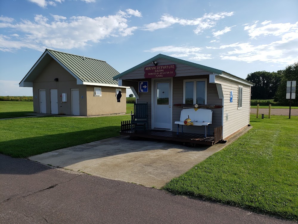
- General description
- Fuel pump location
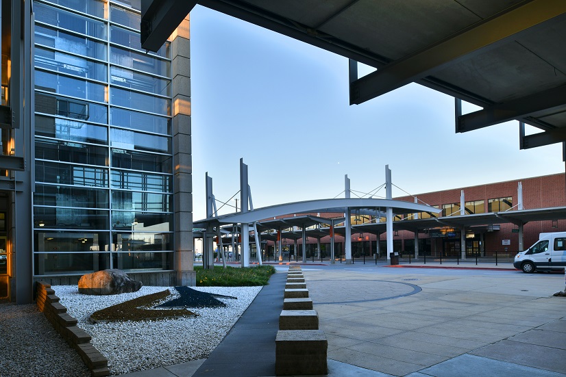
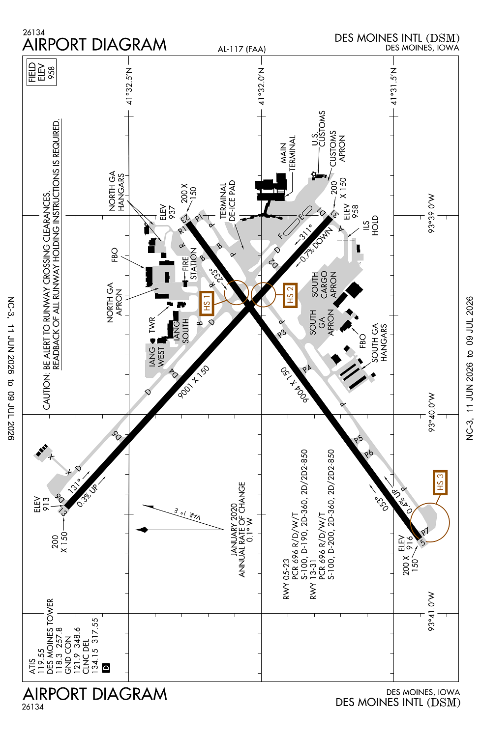
Location:
Des Moines, IA
Elevation:
957ft
Sectional:
Omaha
Activation date:
Apr 1940
Fuel:
100LL, A (prices)
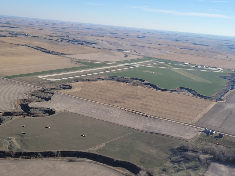
Runway 05/23:
9,004ft
Runway 13/31:
9,001ft
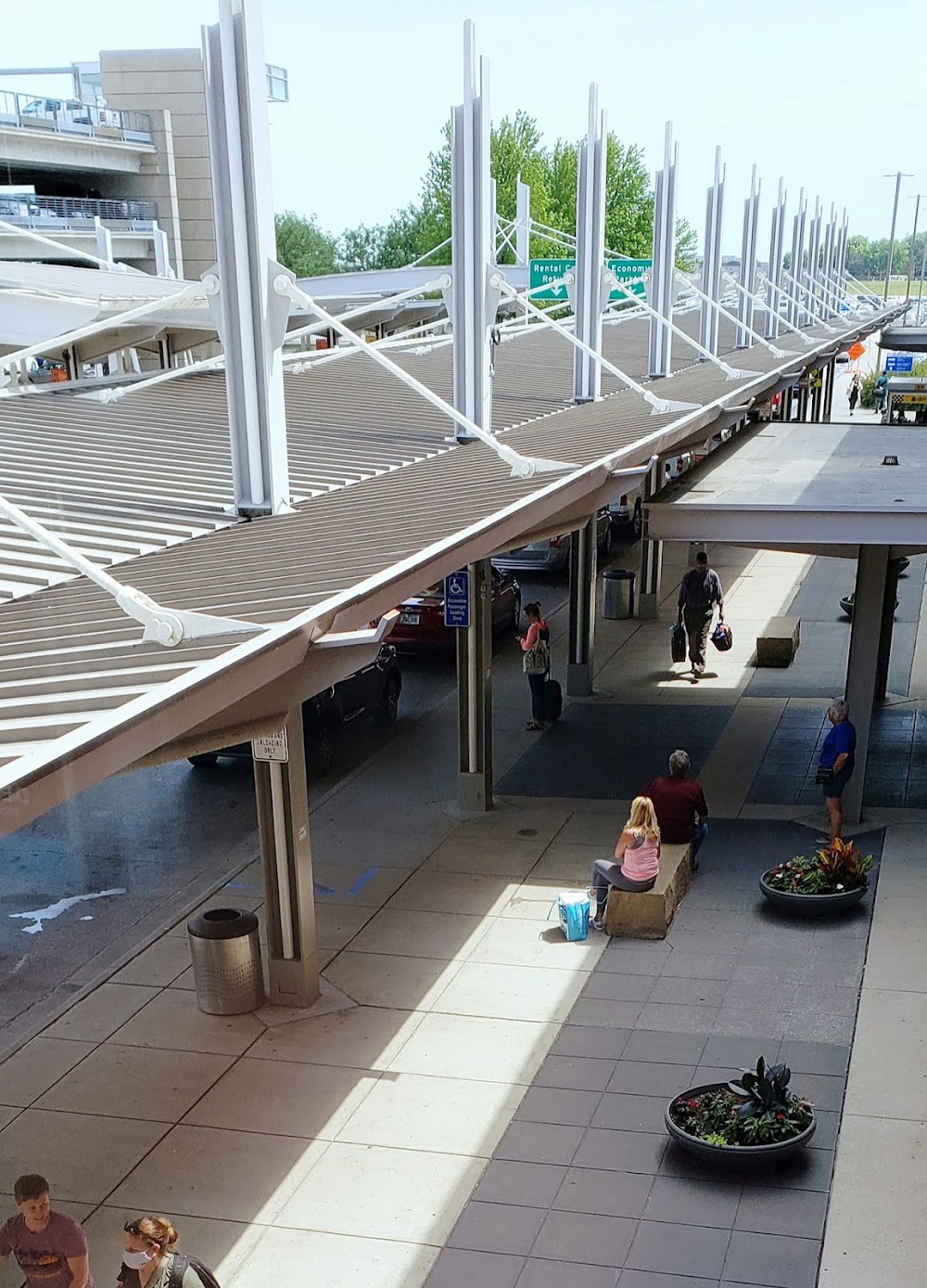
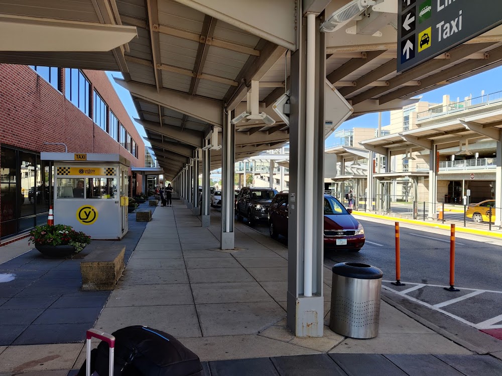
Access: Open to the public
Similar Airports
Current Weather — VFR
-
Weather data is strictly informational and not for flight planning purposes.
-
METAR2026-07-16 03:54:00 CDT
Ceiling: Sky clear Wind: Calm Temperature: 73°F Dewpoint: 69°F Weather: N/A Visbility: 10SM Raw:METAR KDSM 160854Z 00000KT 10SM CLR 23/21 A3008 RMK AO2 SLP176 T02330211 50001 $ -
TAF2026-07-16 01:00:00 CDT – 2026-07-16 05:00:00 CDT
Ceiling: Sky clear Wind: 080° @ 3kt Weather: N/A Visbility: 6SM Clouds: @ ft Raw:TAF KDSM 160520Z 1606/1706 08003KT P6SM SKC FM161000 VRB03KT 6SM BR SKC FM161300 19005KT P6SM SKC -
TAF2026-07-16 05:00:00 CDT – 2026-07-16 08:00:00 CDT
Ceiling: Sky clear Wind: Variable Weather: Mist Visbility: 6SM Clouds: @ ft Raw:TAF KDSM 160520Z 1606/1706 08003KT P6SM SKC FM161000 VRB03KT 6SM BR SKC FM161300 19005KT P6SM SKC -
TAF2026-07-16 08:00:00 CDT – 2026-07-17 01:00:00 CDT
Ceiling: Sky clear Wind: 190° @ 5kt Weather: N/A Visbility: 6SM Clouds: @ ft Raw:TAF KDSM 160520Z 1606/1706 08003KT P6SM SKC FM161000 VRB03KT 6SM BR SKC FM161300 19005KT P6SM SKC
Click/tap to add an annotation marker to the map
No webcams added yet.
Remarks
- Prvdd rwy/twy mkd in accordance w faa adzy circular no 150/5340-ih.
- Contr fuel - 515-256-5330.
- Birds on & invof arpt.
- Informal noise abatement procedures in effect. expect atc to assign preferred ry.
- Iang south ramp pcn 78 r/b/w/t. iang west ramp pcn 87 r/b/w/t.
Comments