Pirep is a free, collaborative database of all public and private airports. All pilots are welcome to contribute their local knowledge to any airport, no registration required.

Public
Undocumented
METAR / TAF
Edit Tags
No upcoming events. Is anything happening here soon?
Airport Statistics
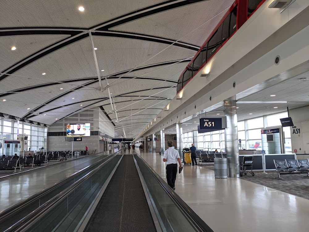
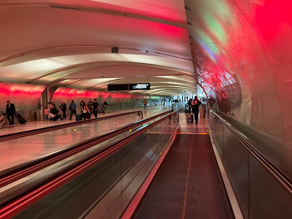
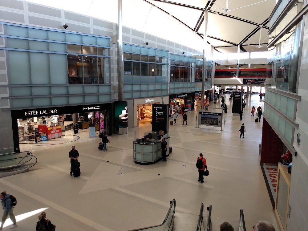
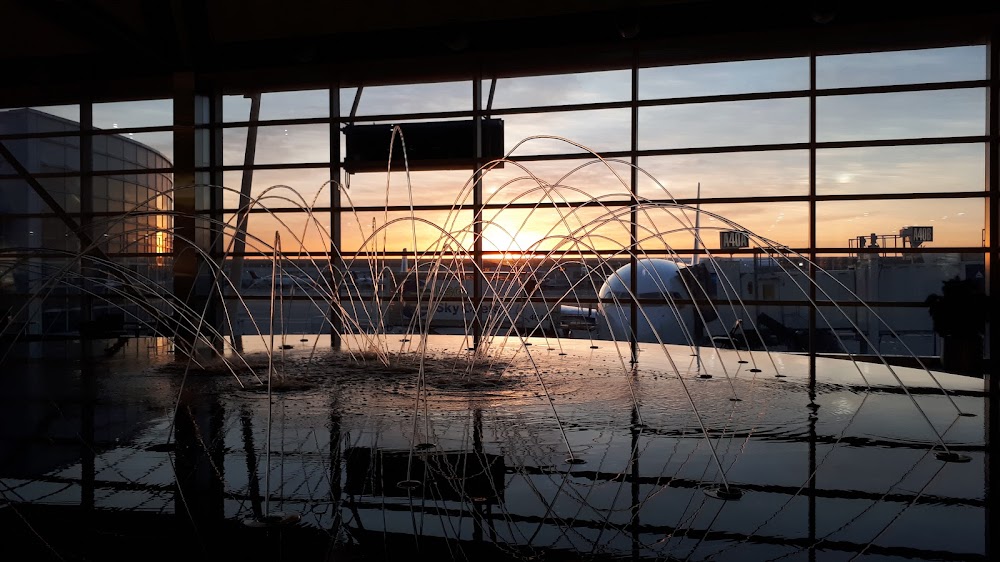
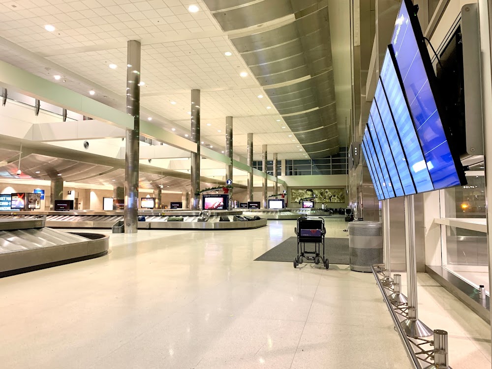
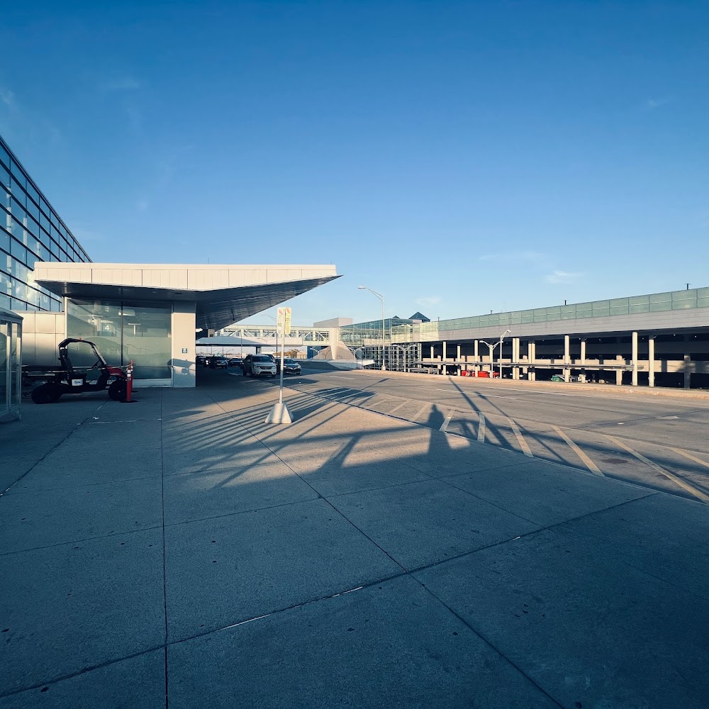
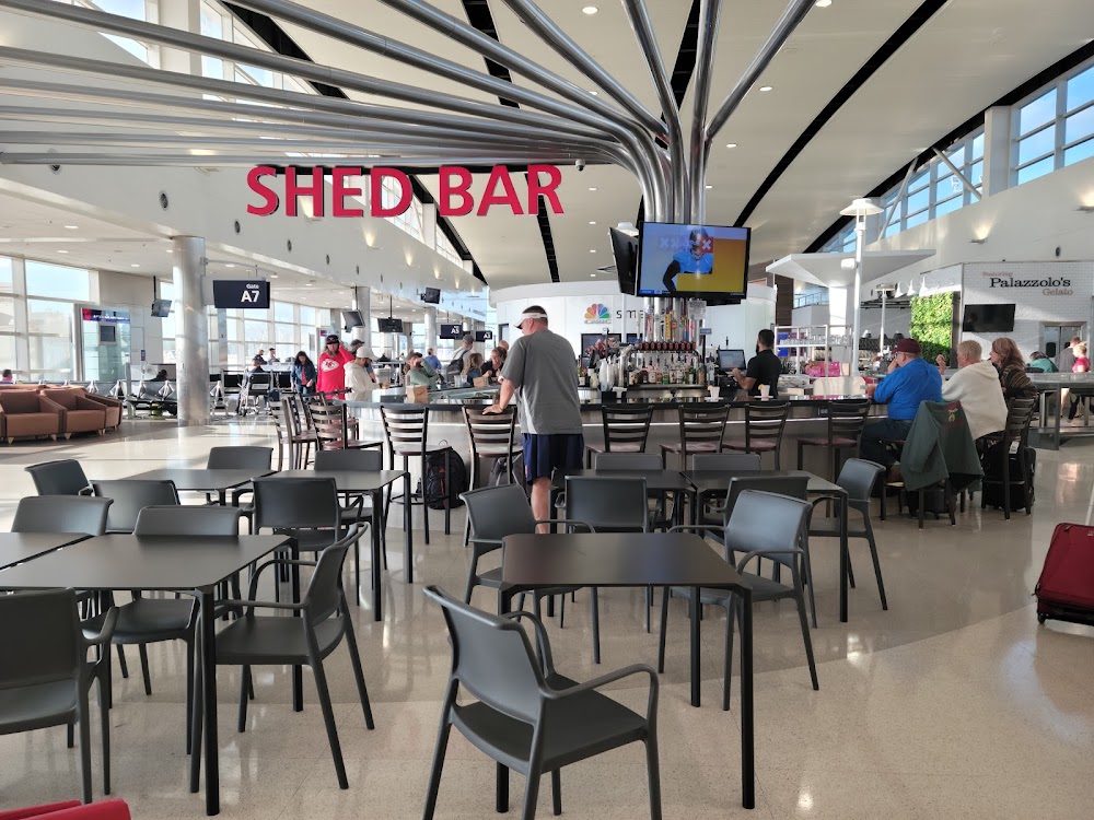
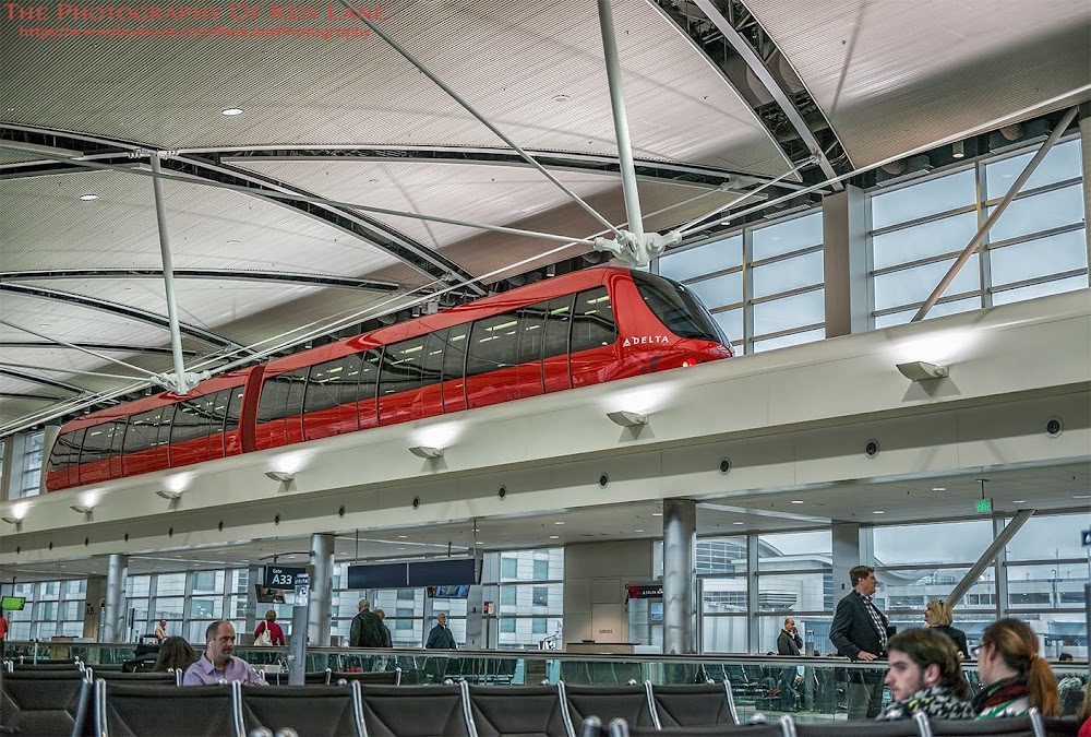
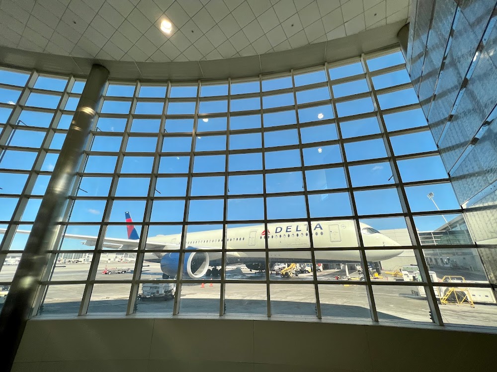
- Airport photos
- WiFi availability
- Webcam links
Location:
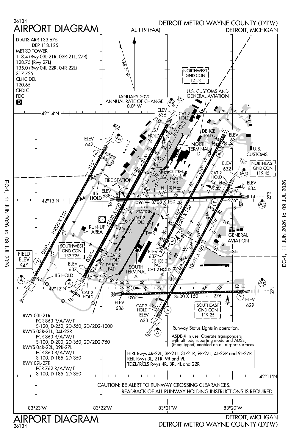
Detroit, MI
Elevation:
645ft
Sectional:
Detroit
Activation date:
Apr 1940
Fuel:
100LL, A (prices)
Runway 04R/22L:
12,003ft
Runway 03R/21L:
10,001ft
Runway 04L/22R:
10,000ft
Runway 09L/27R:
8,708ft
Runway 03L/21R:
8,501ft
Runway 09R/27L:
8,500ft
Runway 04X/22X:
0ft
Access: Open to the public
Current Weather — VFR
-
Weather data is strictly informational and not for flight planning purposes.
-
METAR2026-07-20 10:53:00 EDT
Ceiling: 25,000ft Wind: 210° @ 9kt Temperature: 75°F Dewpoint: 55°F Weather: N/A Visbility: 7SM Clouds: Few @ 4,500ft, Broken @ 25,000ft Raw:METAR KDTW 201453Z 21009KT 7SM FEW045 BKN250 24/13 A2997 RMK AO2 SLP145 T02440128 58007 -
TAF2026-07-20 10:00:00 EDT – 2026-07-20 12:00:00 EDT
Ceiling: Sky clear Wind: 200° @ 8kt Weather: Smoke Visbility: 5SM Clouds: @ ft Raw:TAF KDTW 201407Z 2014/2118 20008KT 5SM FU SKC FM201600 20010KT P6SM SCT050 SCT250 FM210100 19007KT P6SM SCT100 BKN200 FM210700 22012KT P6SM BKN080 OVC120 PROB30 2107/2111 4SM TSRA BKN040CB OVC060 FM211100 24014G25KT P6SM BKN040 -
TAF2026-07-20 12:00:00 EDT – 2026-07-20 21:00:00 EDT
Ceiling: Sky clear Wind: 200° @ 10kt Weather: N/A Visbility: 6SM Clouds: Scattered @ 5,000ft, Scattered @ 25,000ft Raw:TAF KDTW 201407Z 2014/2118 20008KT 5SM FU SKC FM201600 20010KT P6SM SCT050 SCT250 FM210100 19007KT P6SM SCT100 BKN200 FM210700 22012KT P6SM BKN080 OVC120 PROB30 2107/2111 4SM TSRA BKN040CB OVC060 FM211100 24014G25KT P6SM BKN040 -
TAF2026-07-20 21:00:00 EDT – 2026-07-21 03:00:00 EDT
Ceiling: 20,000ft Wind: 190° @ 7kt Weather: N/A Visbility: 6SM Clouds: Scattered @ 10,000ft, Broken @ 20,000ft Raw:TAF KDTW 201407Z 2014/2118 20008KT 5SM FU SKC FM201600 20010KT P6SM SCT050 SCT250 FM210100 19007KT P6SM SCT100 BKN200 FM210700 22012KT P6SM BKN080 OVC120 PROB30 2107/2111 4SM TSRA BKN040CB OVC060 FM211100 24014G25KT P6SM BKN040 -
TAF2026-07-21 03:00:00 EDT – 2026-07-21 07:00:00 EDT
Ceiling: 8,000ft Wind: 220° @ 12kt Weather: N/A Visbility: 6SM Clouds: Broken @ 8,000ft, Overcast @ 12,000ft Raw:TAF KDTW 201407Z 2014/2118 20008KT 5SM FU SKC FM201600 20010KT P6SM SCT050 SCT250 FM210100 19007KT P6SM SCT100 BKN200 FM210700 22012KT P6SM BKN080 OVC120 PROB30 2107/2111 4SM TSRA BKN040CB OVC060 FM211100 24014G25KT P6SM BKN040 -
TAF2026-07-21 03:00:00 EDT – 2026-07-21 07:00:00 EDT
Ceiling: 4,000ft Wind: 000° @ kt Weather: Thunderstorm rain Visbility: 4SM Clouds: Broken @ 4,000ft, Overcast @ 6,000ft Raw:TAF KDTW 201407Z 2014/2118 20008KT 5SM FU SKC FM201600 20010KT P6SM SCT050 SCT250 FM210100 19007KT P6SM SCT100 BKN200 FM210700 22012KT P6SM BKN080 OVC120 PROB30 2107/2111 4SM TSRA BKN040CB OVC060 FM211100 24014G25KT P6SM BKN040 -
TAF2026-07-21 07:00:00 EDT – 2026-07-21 14:00:00 EDT
Ceiling: 4,000ft Wind: 240° @ 14kt, gusts 25kt Weather: N/A Visbility: 6SM Clouds: Broken @ 4,000ft Raw:TAF KDTW 201407Z 2014/2118 20008KT 5SM FU SKC FM201600 20010KT P6SM SCT050 SCT250 FM210100 19007KT P6SM SCT100 BKN200 FM210700 22012KT P6SM BKN080 OVC120 PROB30 2107/2111 4SM TSRA BKN040CB OVC060 FM211100 24014G25KT P6SM BKN040
Click/tap to add an annotation marker to the map
No webcams added yet.
Remarks
- Brightly lighted parking lot 2.6 nm sw of arpt.
- Be alert birds, waterfowl, on & invof arpt.
- Acft on twy 'f' and twy 'v' do not block fire station exits.
- Asde-x in use. operate transponders with altitude reporting mode and ads-b (if equipped) enabled on all airport surfaces.
- Taxi on rwy 09l/27r ltd to: exiting fm rwy 04r/22l, 03l/21r, & 03r/21l exc no taxi btn rwy 03l/21r & twy w; two-way taxi btn twy y & twy m when red stop bar lgts are lgtd at rwy 04r/22l & 03l/21r or when barricades are used instead at the respective ints. taxi btn ss-sr or in conds with vis less than 1 sm rqrs green cntrln lgt to be opr.
Comments