Pirep is a free, collaborative database of all public and private airports. All pilots are welcome to contribute their local knowledge to any airport, no registration required.
Public
Undocumented
METAR / TAF
Edit Tags
No upcoming events. Is anything happening here soon?
Airport Statistics
- Fuel pump location
- Airport photos
- Webcam links
Location:
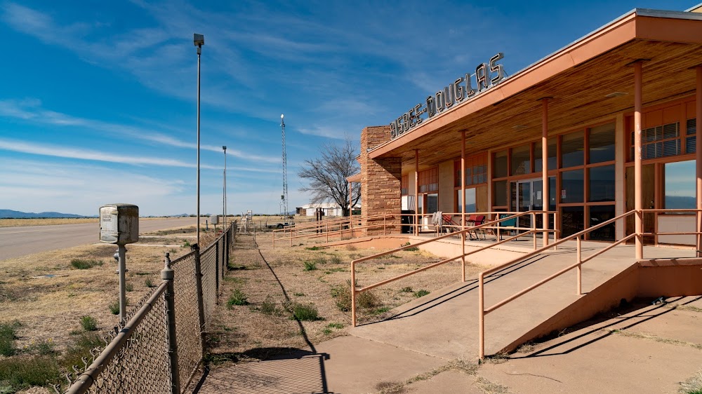
Douglas Bisbee, AZ
Elevation:
4,150ft
Sectional:
Phoenix
Activation date:
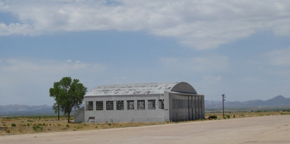
Sep 1942
Fuel:
100LL, A1+ (prices)
Runway 17/35:
6,430ft
Runway 08/26:
4,966ft
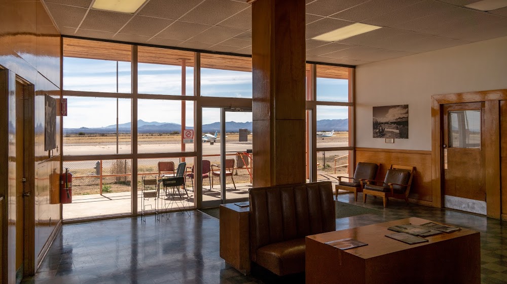
Access: Open to the public
Current Weather — VFR
-
Weather data is strictly informational and not for flight planning purposes.
-
METAR2026-07-15 20:56:00 MST
Ceiling: Sky clear Wind: 110° @ 3kt Temperature: 84°F Dewpoint: 53°F Weather: N/A Visbility: 10SM Clouds: Scattered @ 10,000ft Raw:METAR KDUG 160356Z AUTO 11003KT 10SM SCT100 29/12 A3000 RMK AO2 SLP081 T02890122 TSNO -
TAF2026-07-15 17:00:00 MST – 2026-07-15 22:00:00 MST
Ceiling: Sky clear Wind: 130° @ 8kt Weather: N/A Visbility: 6SM Clouds: Scattered @ 10,000ft Raw:TAF KDUG 152320Z 1600/1624 13008KT P6SM SCT100 FM160500 17007KT P6SM SCT100 -
TAF2026-07-15 22:00:00 MST – 2026-07-16 17:00:00 MST
Ceiling: Sky clear Wind: 170° @ 7kt Weather: N/A Visbility: 6SM Clouds: Scattered @ 10,000ft Raw:TAF KDUG 152320Z 1600/1624 13008KT P6SM SCT100 FM160500 17007KT P6SM SCT100
Click/tap to add an annotation marker to the map
No webcams added yet.
Remarks
- The twy to ry 35 is in poor condition with ruts & loose aggregate.
- Wildlife on or invof arpt.
- For cd if una to ctc on fss freq, ctc albuquerque artcc at 505-856-4561.
- Actvt vasi rwy 17; mirl rwy 17/35 - ctaf.
- Emerg - 520-559-8708.
- Self svc - amgr.
- Dalgt vfr ops only.
- Ctlg obstn exceeds 45 deg slope.
Comments