Pirep is a free, collaborative database of all public and private airports. All pilots are welcome to contribute their local knowledge to any airport, no registration required.


Public
Undocumented
METAR / TAF
Edit Tags
No upcoming events. Is anything happening here soon?
Airport Statistics
- Fuel pump location
- Local flying clubs
- Landing & tie-down fees
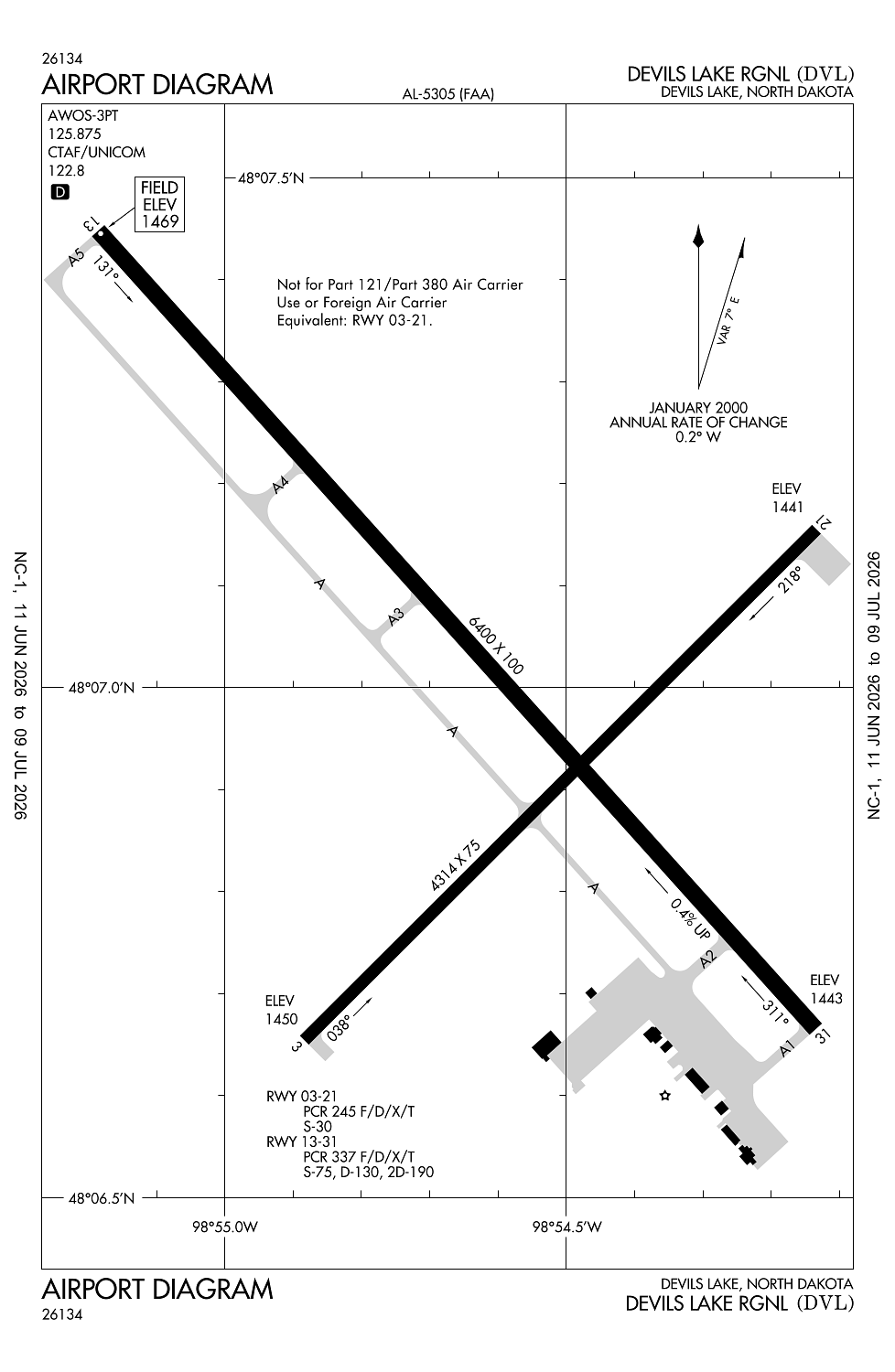
Location:
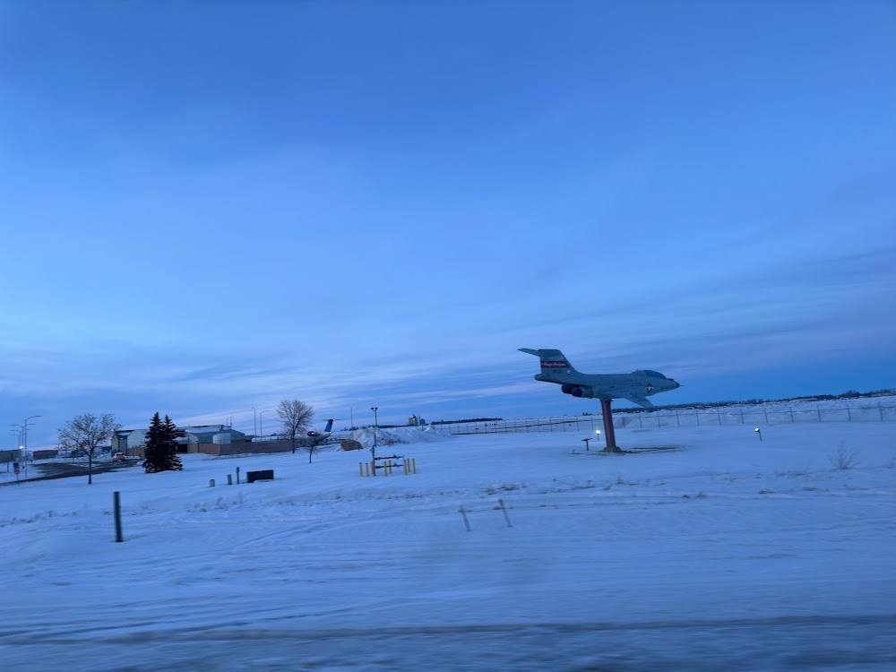
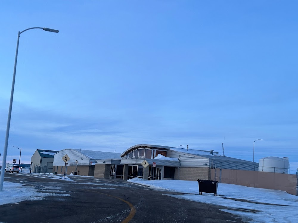
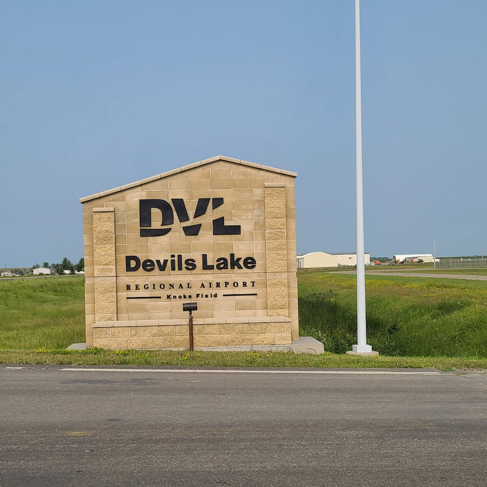
Devils Lake, ND
Elevation:
1,469ft
Sectional:
Twin Cities
Fuel:
100LL, A (prices)
Runway 13/31:
6,400ft
Runway 03/21:
4,314ft
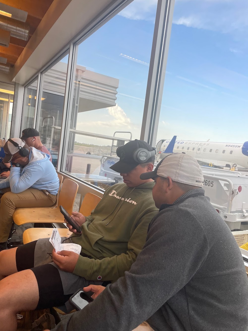
Access: Open to the public
Current Weather — VFR
-
Weather data is strictly informational and not for flight planning purposes.
-
METAR2026-07-15 19:56:00 CDT
Ceiling: Sky clear Wind: 080° @ 9kt Temperature: 73°F Dewpoint: 64°F Weather: N/A Visbility: 10SM Raw:METAR KDVL 160056Z AUTO 08009KT 10SM CLR 23/18 A3008 RMK AO2 SLP186 T02280183 PNO $ -
TAF2026-07-15 19:00:00 CDT – 2026-07-15 20:00:00 CDT
Ceiling: Sky clear Wind: 110° @ 14kt Weather: N/A Visbility: 6SM Clouds: @ ft Raw:TAF KDVL 152320Z 1600/1624 11014KT P6SM SKC FM160100 07015KT P6SM BKN250 FM160900 09008KT P6SM OVC250 FM161600 10012KT P6SM SCT140 -
TAF2026-07-15 20:00:00 CDT – 2026-07-16 04:00:00 CDT
Ceiling: 25,000ft Wind: 070° @ 15kt Weather: N/A Visbility: 6SM Clouds: Broken @ 25,000ft Raw:TAF KDVL 152320Z 1600/1624 11014KT P6SM SKC FM160100 07015KT P6SM BKN250 FM160900 09008KT P6SM OVC250 FM161600 10012KT P6SM SCT140 -
TAF2026-07-16 04:00:00 CDT – 2026-07-16 11:00:00 CDT
Ceiling: 25,000ft Wind: 090° @ 8kt Weather: N/A Visbility: 6SM Clouds: Overcast @ 25,000ft Raw:TAF KDVL 152320Z 1600/1624 11014KT P6SM SKC FM160100 07015KT P6SM BKN250 FM160900 09008KT P6SM OVC250 FM161600 10012KT P6SM SCT140 -
TAF2026-07-16 11:00:00 CDT – 2026-07-16 19:00:00 CDT
Ceiling: Sky clear Wind: 100° @ 12kt Weather: N/A Visbility: 6SM Clouds: Scattered @ 14,000ft Raw:TAF KDVL 152320Z 1600/1624 11014KT P6SM SKC FM160100 07015KT P6SM BKN250 FM160900 09008KT P6SM OVC250 FM161600 10012KT P6SM SCT140
Click/tap to add an annotation marker to the map
No webcams added yet.
Remarks
- 48 hrs ppr for unsked acft ops with more than 30 psgrs call amgr 701-662-5833.
- Sked air carrier opns involving acft with more than 9 psgrs are not auth in excess of 15 mins bfr or aft sked arr/dep times wo prior coord wth arpt mgr to ensure that arff is avbl.
- Numerous waterfowl & other birds; deer & jack rabbits on & invof arpt.
- For cd if una to ctc on fss freq, ctc minneapolis artcc at 651-463-5588.
- Actvt or incr intst malsr rwy 31; reil rwy 03, 13, & 21; papi rwy 13/31; hirl rwy 13/31, mirl rwy 03/21 - ctaf.
Comments