Pirep is a free, collaborative database of all public and private airports. All pilots are welcome to contribute their local knowledge to any airport, no registration required.
Public
Undocumented
Edit Tags
No upcoming events. Is anything happening here soon?
Airport Statistics
- WiFi availability
- Airport photos
- Webcam links
Location:
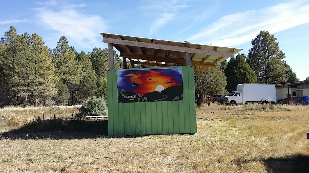
Alamogordo, NM
Elevation:
6,963ft
Sectional:
Albuquerque
Activation date:
Feb 1974
Fuel:
None
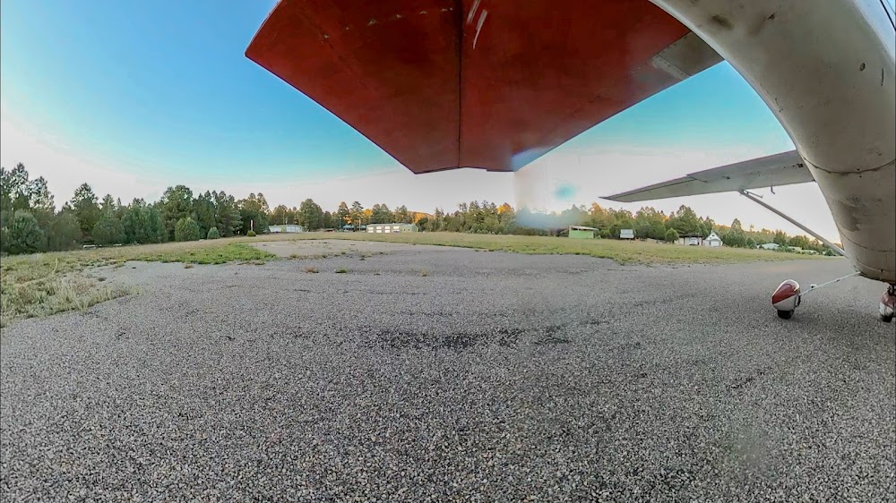
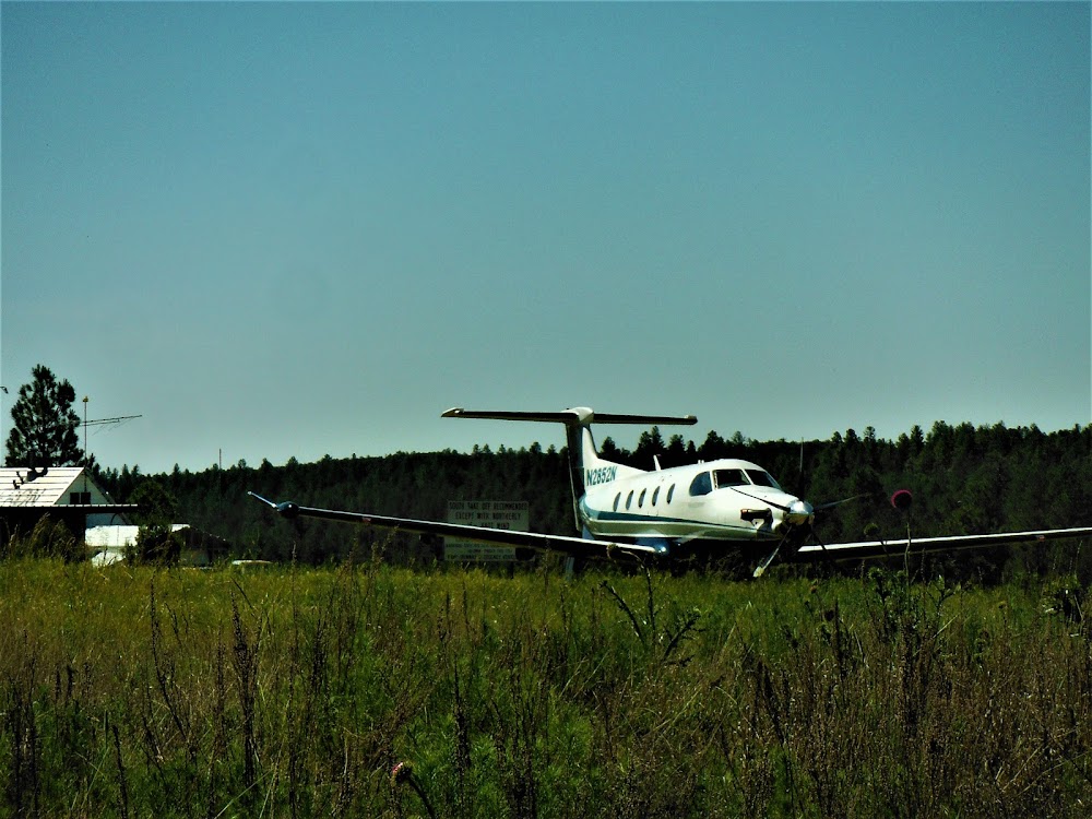
Runway 13/31:
4,860ft
Runway H1:
65ft
Access: Open to the public
Click/tap to add an annotation marker to the map
No webcams added yet.
Remarks
- Vfr use only.
- Rwy 13/31 slopes 2 degs downhill to the se. takeoffs normally made on rwy 13 & ldgs on rwy 31.
- Deer & elk on rwy spcly dusk.
- For cd ctc albuquerque artcc at 505-856-4861.
- Heliport located near the thr rwy 13.
- Fire station located appx 500 ft nw of rwy.
- Heli near thr.
- 10-12 ft trees acrs thr 0-200 ft.
Comments