Pirep is a free, collaborative database of all public and private airports. All pilots are welcome to contribute their local knowledge to any airport, no registration required.
Public
Undocumented
Edit Tags
No upcoming events. Is anything happening here soon?
Airport Statistics
- Transient parking location
- Tags
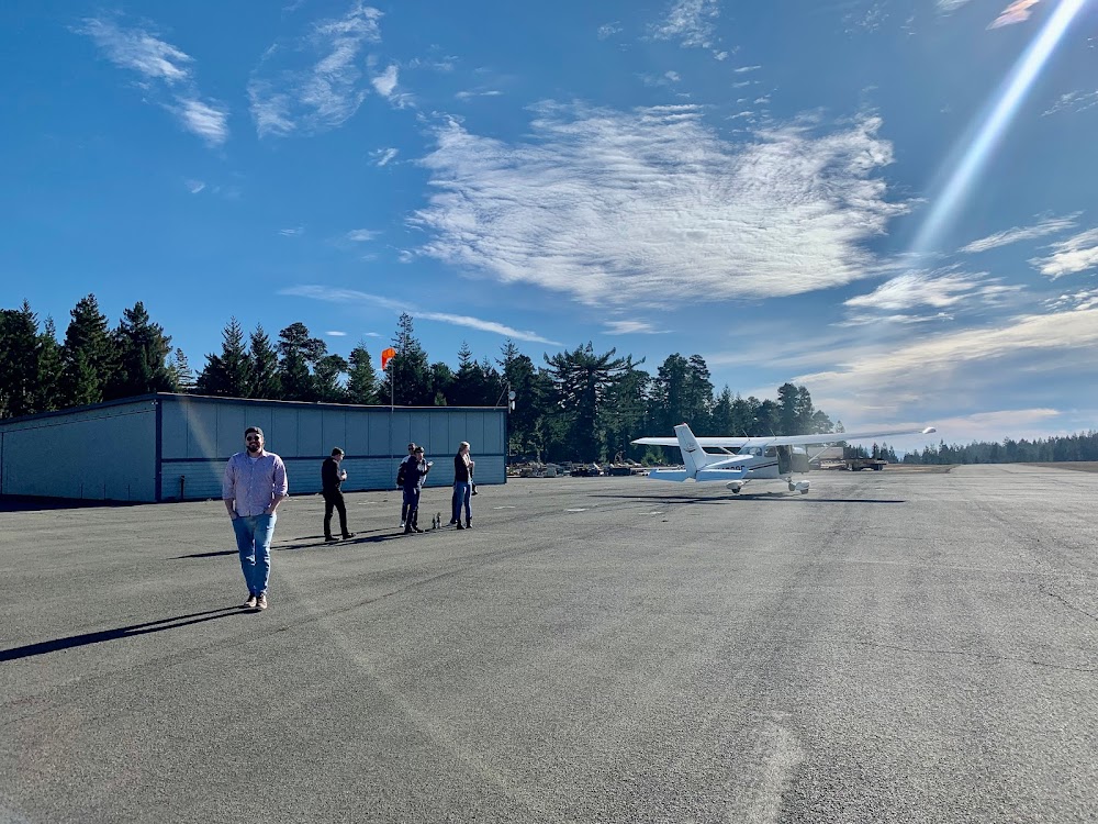
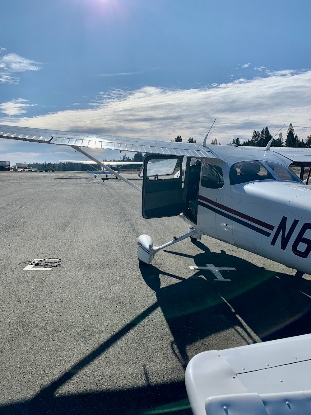
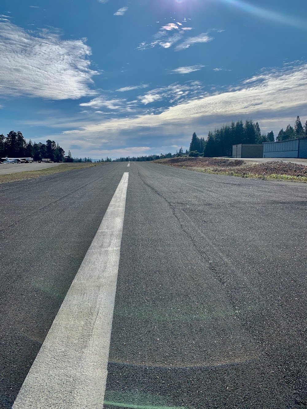
- Airport photos
Location:
Gualala, CA
Elevation:
933ft
Sectional:
San Francisco
Activation date:
Oct 1964
Fuel:
None
Runway 13/31:
2,504ft
Access: Open to the public
This airport is privately owned but open to the public.
Click/tap to add an annotation marker to the map
No webcams added yet.
Remarks
- Calmwind rwy 31.
- Deer frequently on ry.
- Rwy 13/31 undulated.
- Extreme turb in windy conds.
- Rwy 13/31/ clsd at night. no rwy lgts.
- Ry 13/31 clsd to jets and ultralights.
- Ry 13/31 clsd to acft over 8,000 lbs allowable take-off gross weight.
- Ry 13/31 clsd to touch and go landings.
Comments