Pirep is a free, collaborative database of all public and private airports. All pilots are welcome to contribute their local knowledge to any airport, no registration required.
Public
Undocumented
Edit Tags
No upcoming events. Is anything happening here soon?
Airport Statistics
- Landing & tie-down fees
- WiFi availability
- Tags
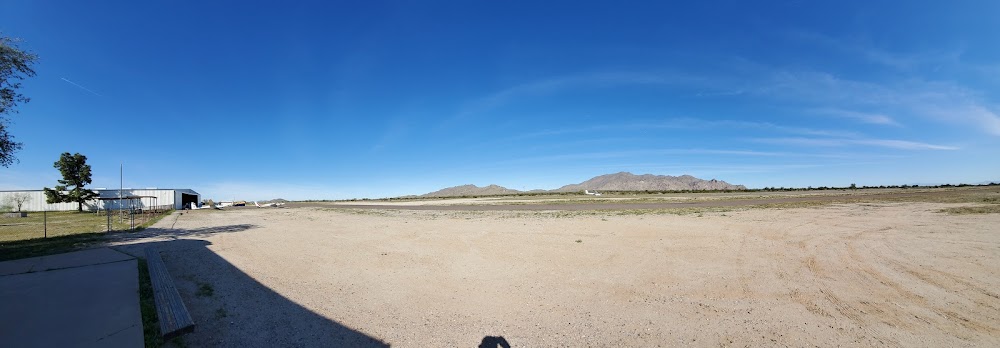
Location:
Maricopa, AZ
Elevation:
1,273ft
Sectional:
Phoenix
Activation date:
Mar 1969
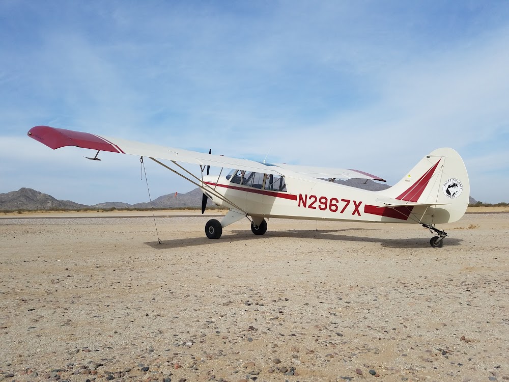
Fuel:
None
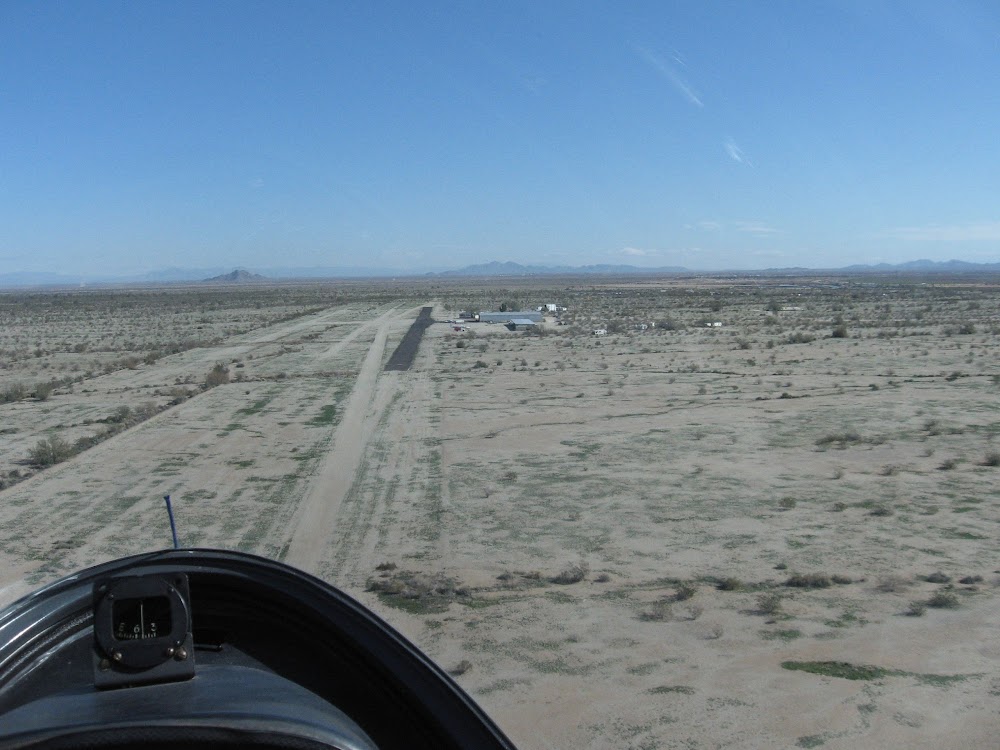
Runway 07/25:
3,740ft
Runway 06R/24L:
2,520ft
Runway 06C/24C:
1,995ft
Runway 06L/24R:
1,910ft
Access: Open to the public
This airport is privately owned but open to the public.
Click/tap to add an annotation marker to the map
No webcams added yet.
Remarks
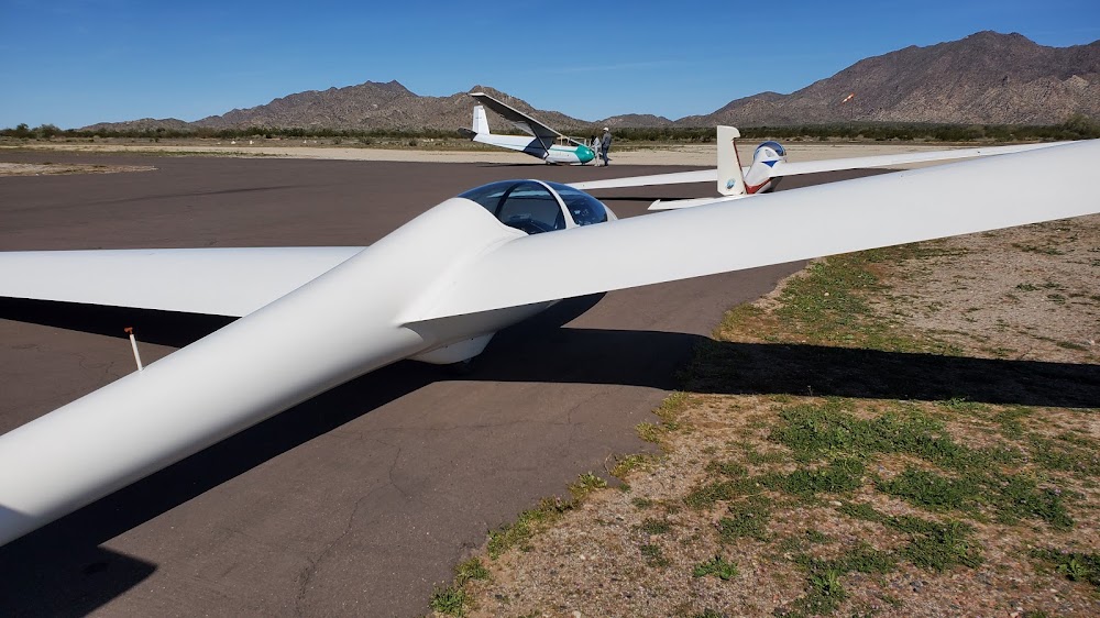
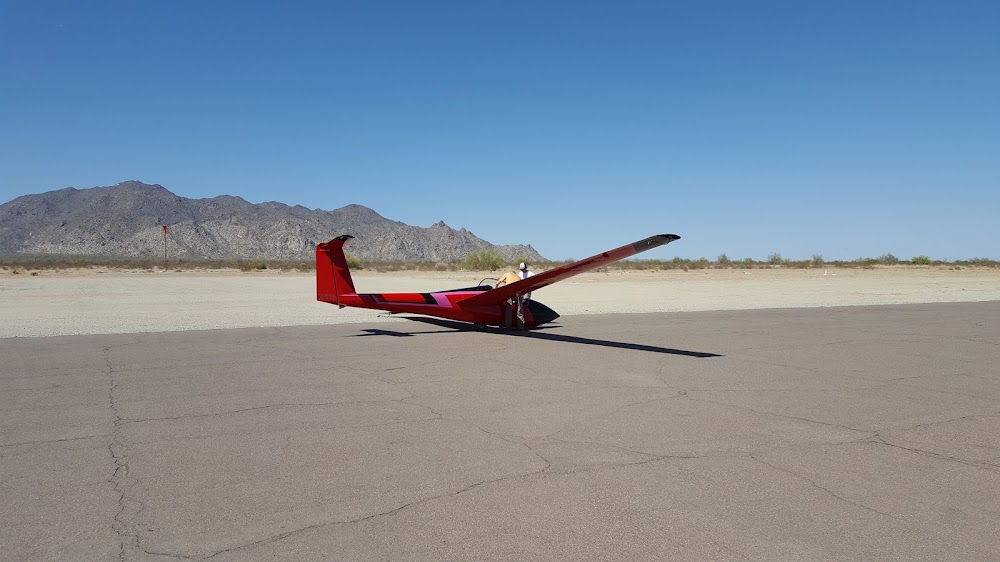
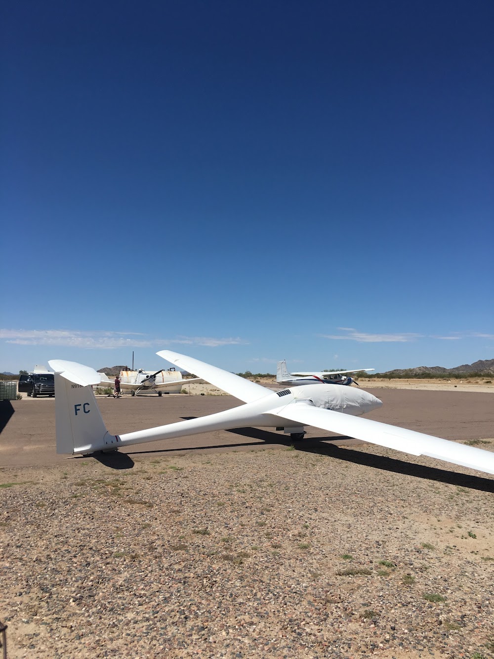
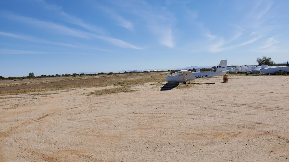
- 123.3 avbl for comm btn glider & tow acft.
- Obstrns mtns sw, n & nw. 1 ft berm & 1 ft ditch 30 ft north of rwy 06l/24r.
- Pwr acft pat s of rwys; glider pat n of rwys.
- Pwr ops use rwy not in use by gliders.
- Aerobatic box actv 0900-1800; one square mi arnd pxr194023.
- Hvy no radio act.
- Tkoff paved rwy only.
- Alert: hvy glider tfc ops wo com wi 5 nm.
Comments