Pirep is a free, collaborative database of all public and private airports. All pilots are welcome to contribute their local knowledge to any airport, no registration required.
Public
Undocumented
METAR / TAF
Edit Tags
No upcoming events. Is anything happening here soon?
Airport Statistics
- Landing & tie-down fees
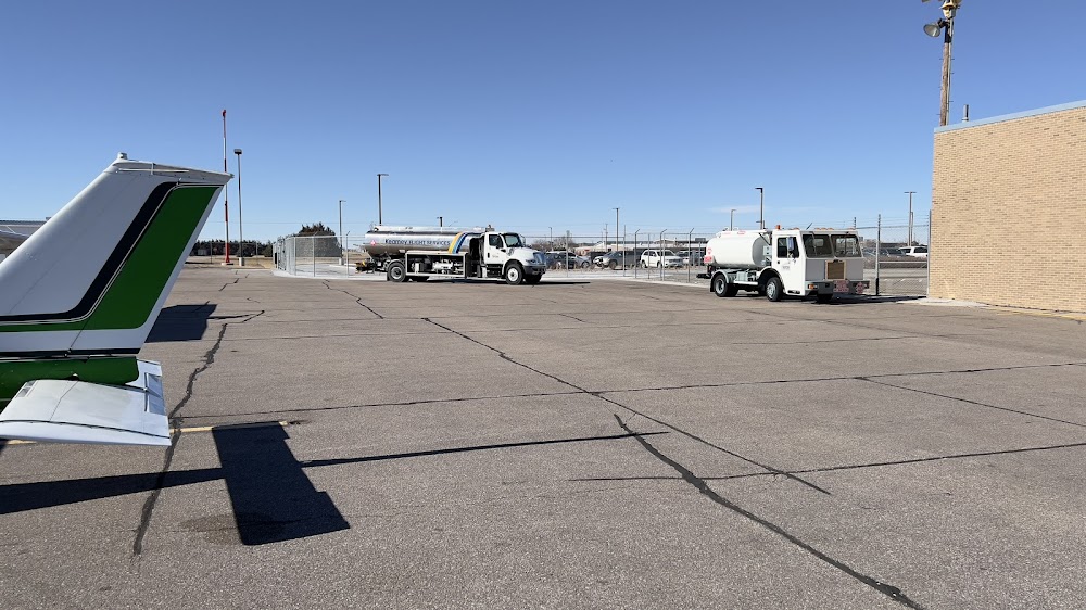
- Fuel pump location
- Tags
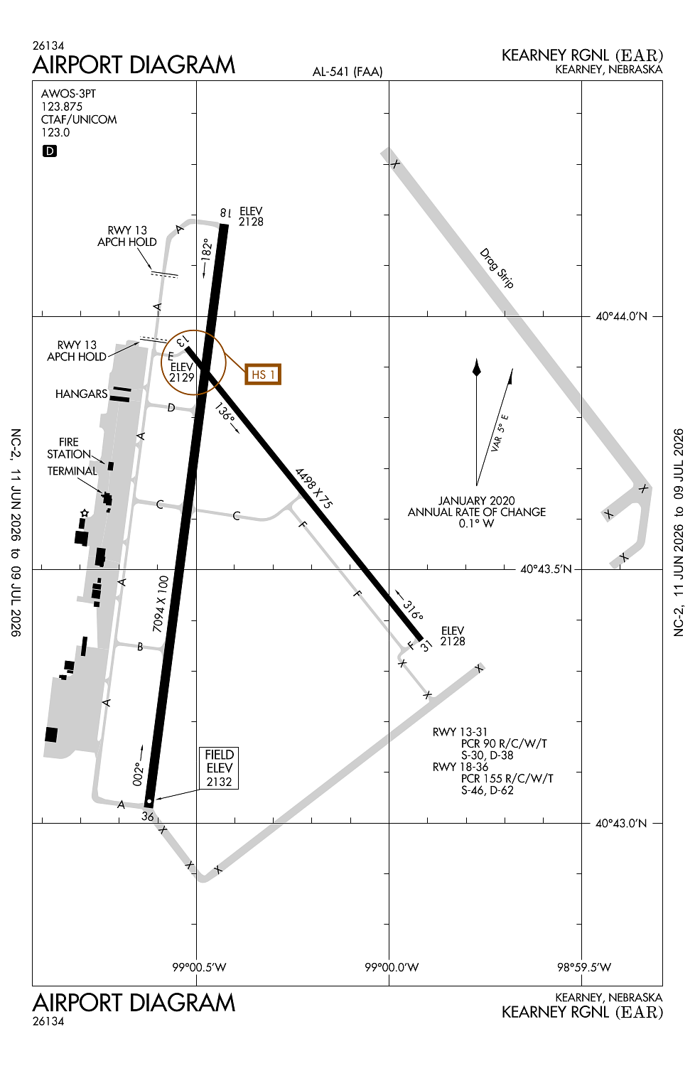
Location:
Kearney, NE
Elevation:
2,131ft
Sectional:
Omaha
Activation date:
Mar 1943
Fuel:
100LL, A (prices)
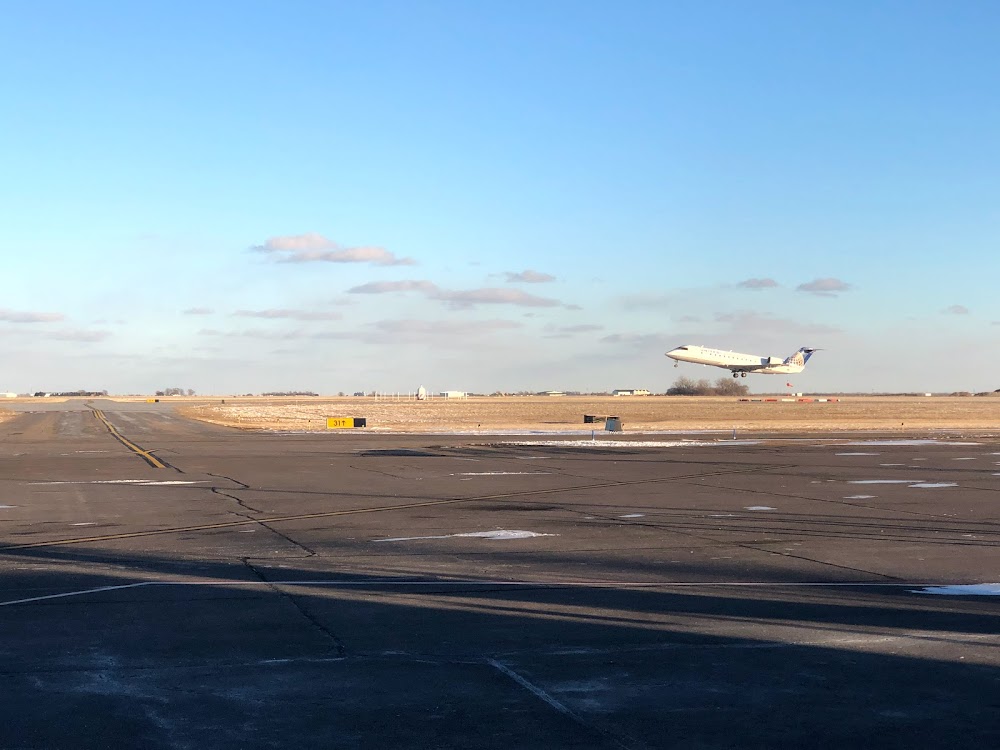
Runway 18/36:
7,094ft
Runway 13/31:
4,498ft
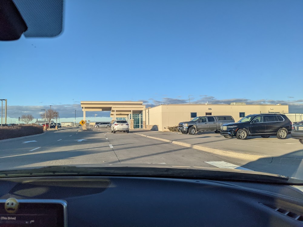
Access: Open to the public
Current Weather — VFR
-
Weather data is strictly informational and not for flight planning purposes.
-
METAR2026-07-21 13:56:00 CDT
Ceiling: Sky clear Wind: 340° @ 10kt, gusts 15kt Temperature: 84°F Dewpoint: 59°F Weather: N/A Visbility: 8SM Raw:METAR KEAR 211856Z AUTO 34010G15KT 8SM CLR 29/15 A3013 RMK AO2 SLP180 T02940150 -
TAF2026-07-21 13:00:00 CDT – 2026-07-21 18:00:00 CDT
Ceiling: Sky clear Wind: 020° @ 12kt, gusts 18kt Weather: N/A Visbility: 6SM Clouds: Scattered @ 15,000ft Raw:TAF KEAR 211720Z 2118/2218 02012G18KT P6SM SCT150 FM212300 04007KT P6SM FEW150 FM220500 06006KT P6SM SCT080 BKN150 FM221200 08009KT P6SM SCT040 BKN080 PROB30 2212/2218 6SM -TSRA BKN040CB -
TAF2026-07-21 18:00:00 CDT – 2026-07-22 00:00:00 CDT
Ceiling: Sky clear Wind: 040° @ 7kt Weather: N/A Visbility: 6SM Clouds: Few @ 15,000ft Raw:TAF KEAR 211720Z 2118/2218 02012G18KT P6SM SCT150 FM212300 04007KT P6SM FEW150 FM220500 06006KT P6SM SCT080 BKN150 FM221200 08009KT P6SM SCT040 BKN080 PROB30 2212/2218 6SM -TSRA BKN040CB -
TAF2026-07-22 00:00:00 CDT – 2026-07-22 07:00:00 CDT
Ceiling: 15,000ft Wind: 060° @ 6kt Weather: N/A Visbility: 6SM Clouds: Scattered @ 8,000ft, Broken @ 15,000ft Raw:TAF KEAR 211720Z 2118/2218 02012G18KT P6SM SCT150 FM212300 04007KT P6SM FEW150 FM220500 06006KT P6SM SCT080 BKN150 FM221200 08009KT P6SM SCT040 BKN080 PROB30 2212/2218 6SM -TSRA BKN040CB -
TAF2026-07-22 07:00:00 CDT – 2026-07-22 13:00:00 CDT
Ceiling: 8,000ft Wind: 080° @ 9kt Weather: N/A Visbility: 6SM Clouds: Scattered @ 4,000ft, Broken @ 8,000ft Raw:TAF KEAR 211720Z 2118/2218 02012G18KT P6SM SCT150 FM212300 04007KT P6SM FEW150 FM220500 06006KT P6SM SCT080 BKN150 FM221200 08009KT P6SM SCT040 BKN080 PROB30 2212/2218 6SM -TSRA BKN040CB -
TAF2026-07-22 07:00:00 CDT – 2026-07-22 13:00:00 CDT
Ceiling: 4,000ft Wind: 000° @ kt Weather: Light thunderstorm rain Visbility: 6SM Clouds: Broken @ 4,000ft Raw:TAF KEAR 211720Z 2118/2218 02012G18KT P6SM SCT150 FM212300 04007KT P6SM FEW150 FM220500 06006KT P6SM SCT080 BKN150 FM221200 08009KT P6SM SCT040 BKN080 PROB30 2212/2218 6SM -TSRA BKN040CB
Click/tap to add an annotation marker to the map
No webcams added yet.
Remarks
- Arff index b equipment provided. ppr 48 hrs for air carrier ops with more than 30 passenger seats. call arpt mgr 308-234-2318 or 308-440-6069.
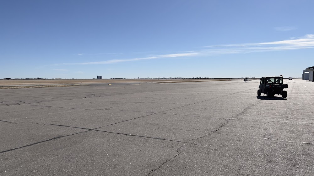
- Be alert when taxiing on apron due to several closed areas.
- Air carrier ops are not authorized in excess of 15 minutes before or after scheduled arrival/departure times without prior coordination with amgr and confirmation that arff is avbl prior to ldng or tkof.
- For cd if una to ctc on fss freq, ctc minneapolis artcc at 651-463-5588.
- Hirl rwy 18/36 preset on low intst; to incr intst & actvt reil rwy 18; malsr rwy 36; papi rwys 13, 18, 31, & 36; and mirl rwy 13/31 - ctaf.
Comments