Pirep is a free, collaborative database of all public and private airports. All pilots are welcome to contribute their local knowledge to any airport, no registration required.
Public
Undocumented
METAR / TAF
Edit Tags
No upcoming events. Is anything happening here soon?
Airport Statistics
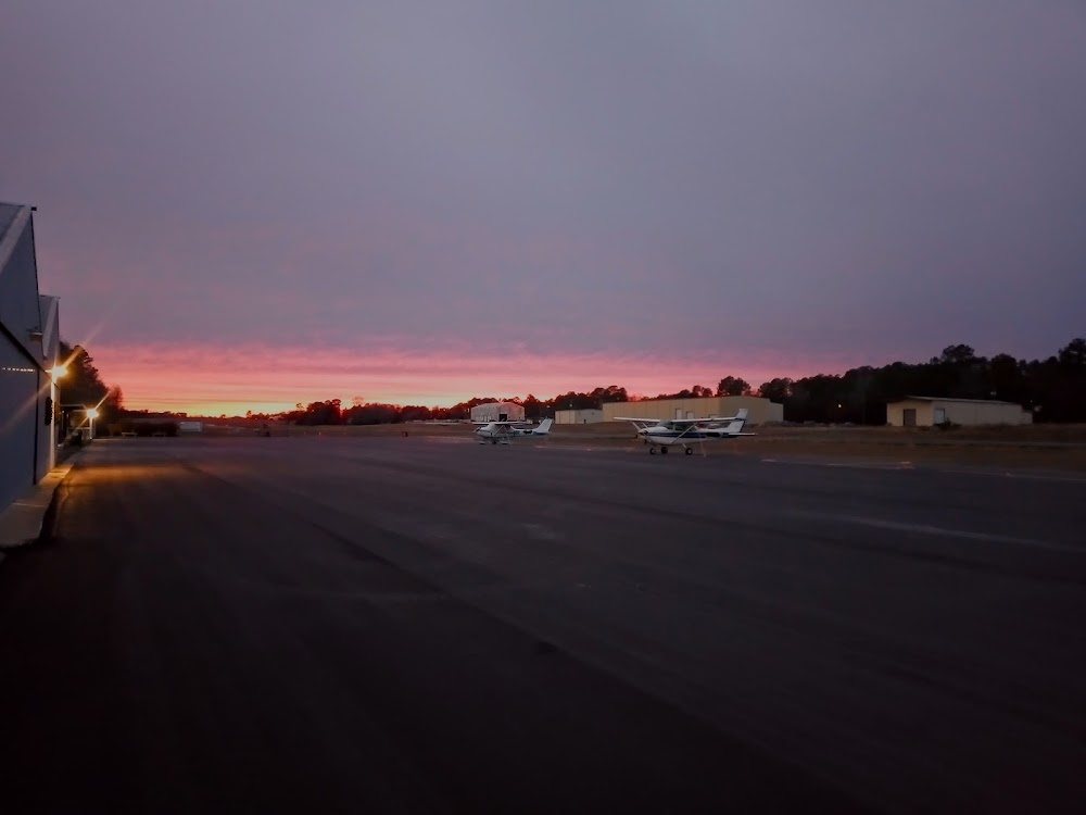
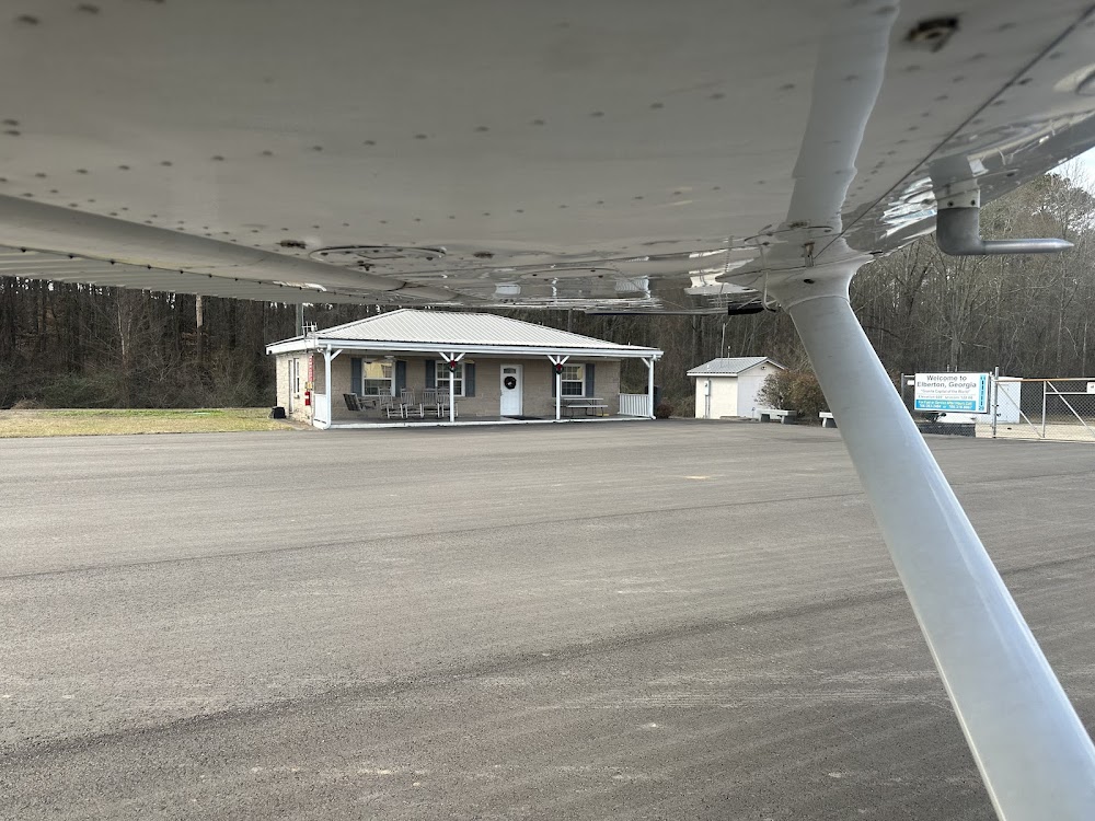
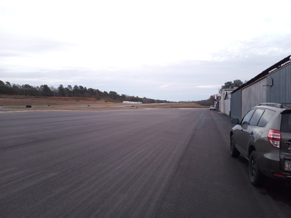
- Airport photos
- WiFi availability
- General description
Location:
Elberton, GA
Elevation:
614ft
Sectional:
Atlanta
Fuel:
100LL (prices)
Runway 11/29:
5,004ft
Access: Open to the public
Current Weather — VFR
-
Weather data is strictly informational and not for flight planning purposes.
-
METAR2026-07-21 02:15:00 EDT
Ceiling: Sky clear Wind: Calm Temperature: 75°F Dewpoint: 74°F Weather: N/A Visbility: 10SM Raw:METAR KEBA 210615Z AUTO 00000KT 10SM CLR 24/24 A2996 RMK AO2 T02420236
Click/tap to add an annotation marker to the map
No webcams added yet.
Remarks
- Deer on & invof arpt.
- Pwr ln and poles 30 ft tall lctd 220 ft south of rcl.
- Road lctd 200 ft south of rcl.
- Rising trrn 10 ft hi lctd north of rwy 11/29 starting fm rcl.
- Rwy 29 apch: trees 36 ft tall, lctd 452 ft from rwy end, 280 ft south of rcl. trees 57 ft tall, lctd 770 ft from rwy end, 295 ft south of rcl. trees 66 ft tall, lctd 992 ft fm rwy end, 30 ft south of rcl.
- For cd ctc atlanta artcc at 770-210-7692.
- Actvt papi rwy 11 & 29; mirl rwy 11/29 - ctaf. mirl rwy 11/29 unavbl durg dalgt hrs, on photocell.
- Rwy 11 papi unusbl 6 degs right of rcl.
Comments