Pirep is a free, collaborative database of all public and private airports. All pilots are welcome to contribute their local knowledge to any airport, no registration required.
Public
Undocumented
METAR / TAF
Edit Tags
No upcoming events. Is anything happening here soon?
Airport Statistics
- Tags
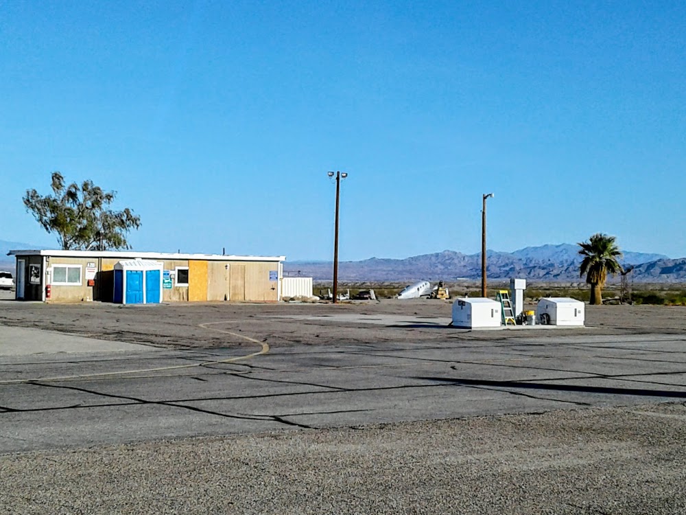
- Fuel pump location
- Crew car availability
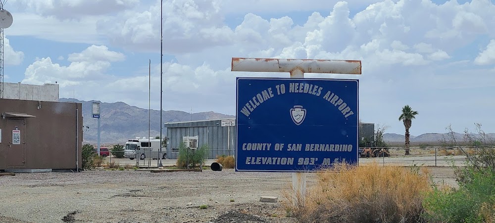
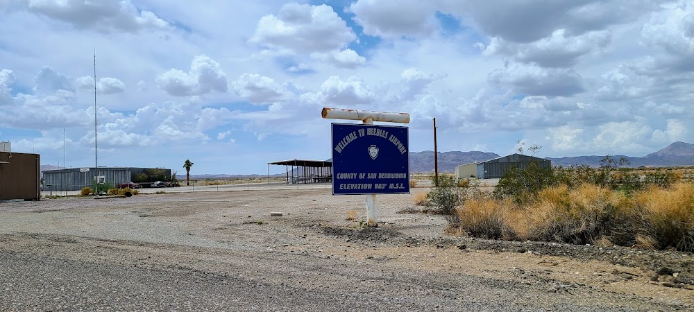
Location:
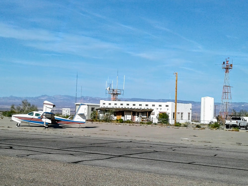
Needles, CA
Elevation:
983ft
Sectional:
Phoenix
Activation date:
May 1941
Fuel:
100LL, A (prices)
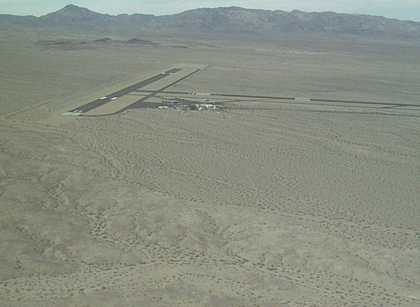
Runway 11/29:
5,005ft
Runway 02/20:
4,235ft
Access: Open to the public
Current Weather — VFR
-
Weather data is strictly informational and not for flight planning purposes.
-
METAR2026-07-15 22:56:00 PDT
Ceiling: Sky clear Wind: 160° @ 13kt, gusts 20kt Temperature: 104°F Dewpoint: 60°F Weather: N/A Visbility: 10SM Raw:METAR KEED 160556Z AUTO 16013G20KT 10SM CLR 40/16 A2970 RMK AO2 SLP015 T04000156 10456 20400 51015 -
TAF2026-07-15 23:00:00 PDT – 2026-07-16 03:00:00 PDT
Ceiling: Sky clear Wind: 150° @ 12kt, gusts 22kt Weather: N/A Visbility: 6SM Clouds: Scattered @ 10,000ft, Scattered @ 15,000ft Raw:TAF KEED 160538Z 1606/1706 15012G22KT P6SM SCT100 SCT150 FM161000 16010KT P6SM SCT100 SCT150 FM161800 20010KT P6SM SCT100 -
TAF2026-07-16 03:00:00 PDT – 2026-07-16 11:00:00 PDT
Ceiling: Sky clear Wind: 160° @ 10kt Weather: N/A Visbility: 6SM Clouds: Scattered @ 10,000ft, Scattered @ 15,000ft Raw:TAF KEED 160538Z 1606/1706 15012G22KT P6SM SCT100 SCT150 FM161000 16010KT P6SM SCT100 SCT150 FM161800 20010KT P6SM SCT100 -
TAF2026-07-16 11:00:00 PDT – 2026-07-16 23:00:00 PDT
Ceiling: Sky clear Wind: 200° @ 10kt Weather: N/A Visbility: 6SM Clouds: Scattered @ 10,000ft Raw:TAF KEED 160538Z 1606/1706 15012G22KT P6SM SCT100 SCT150 FM161000 16010KT P6SM SCT100 SCT150 FM161800 20010KT P6SM SCT100
Click/tap to add an annotation marker to the map
No webcams added yet.
Remarks
- Estabd prior to 5/15/59.
- <unlgtd mtn west & south of arpt aprx 3200' msl.
- (e81) 2 lgts each side marking rwy exits; reflectors marking twys.
- For cd if una to ctc on fss freq, ctc los angeles artcc at 661-575-2079.
- Actvt mirl ry 11/29 & ry 02/20, reil ry 11& ry 29 - ctaf. papi ry 11, ry 29, ry 02 & ry 20 oper continuously.
- 100ll fuel avbl 24 hrs self srv
- Jet a fuel avbl 24 hrs self svc
- Nstd markings for instr apch; bsc instead of npi markings.
Comments