Pirep is a free, collaborative database of all public and private airports. All pilots are welcome to contribute their local knowledge to any airport, no registration required.
Public
Undocumented
METAR / TAF
Edit Tags
No upcoming events. Is anything happening here soon?
Airport Statistics
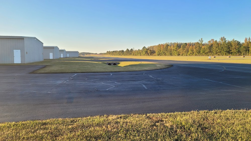
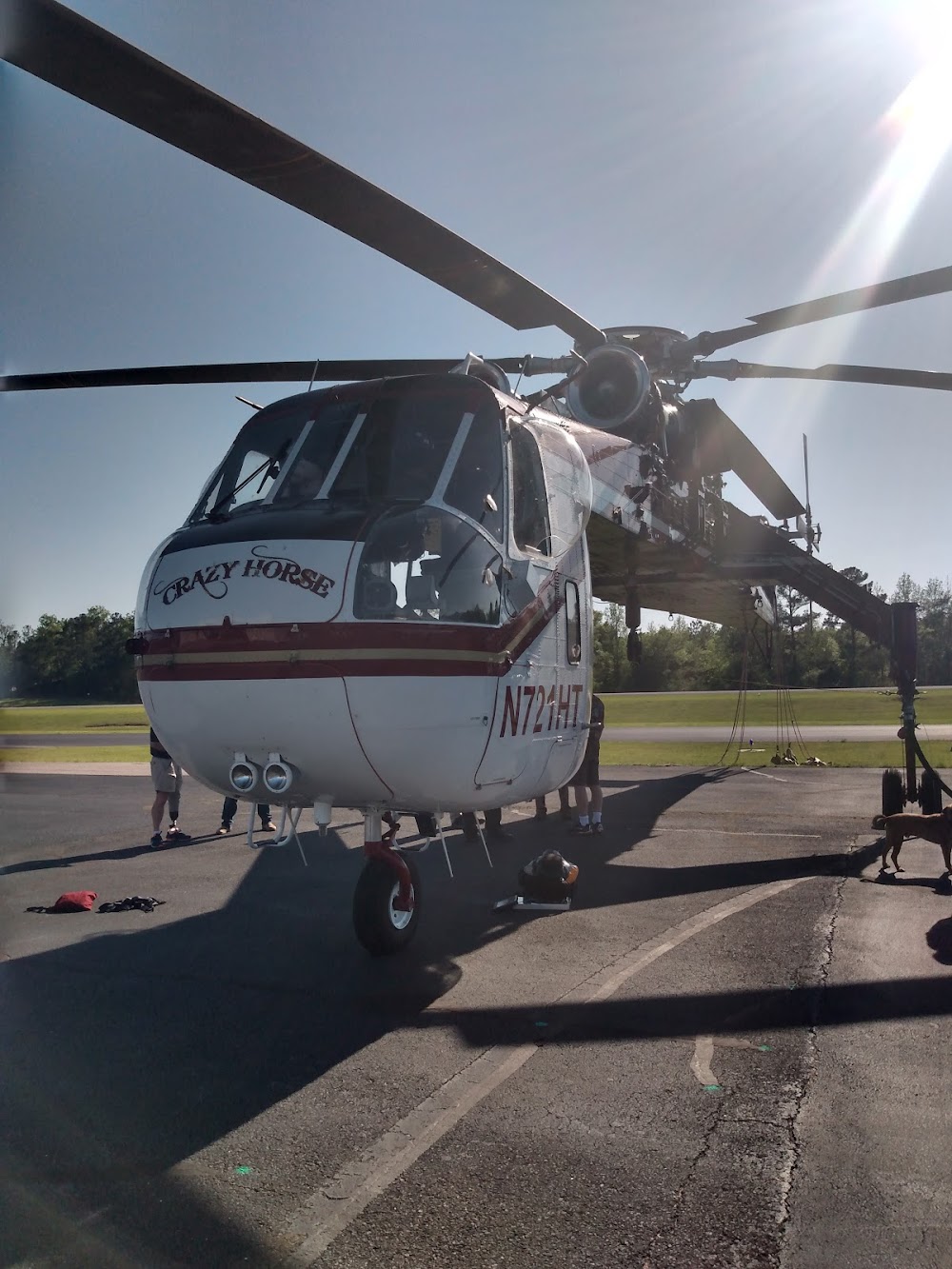
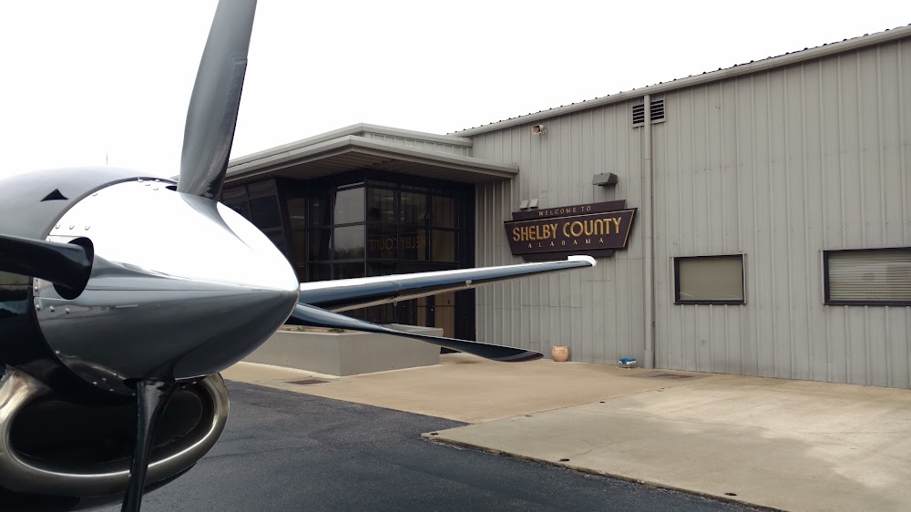
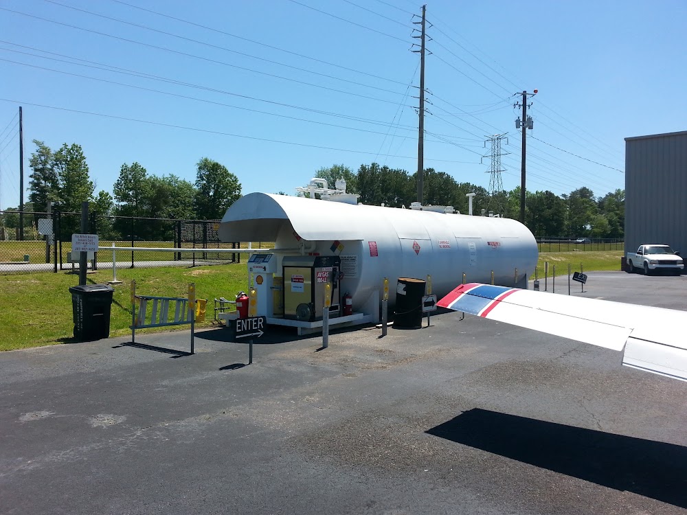
- General description
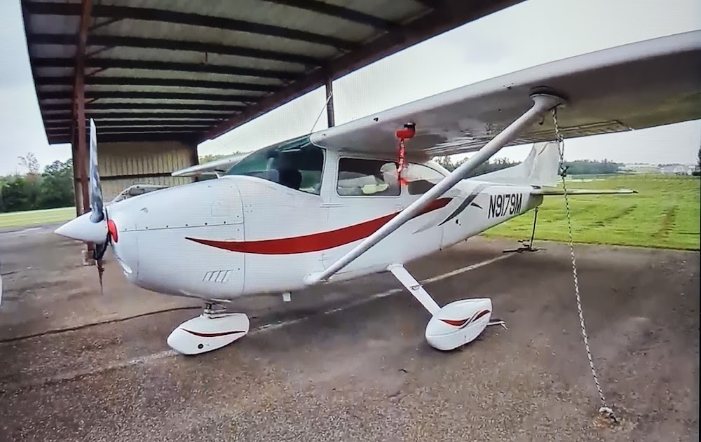
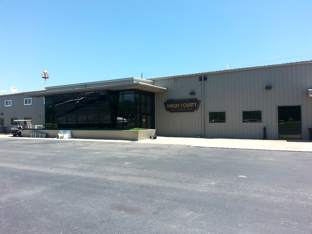
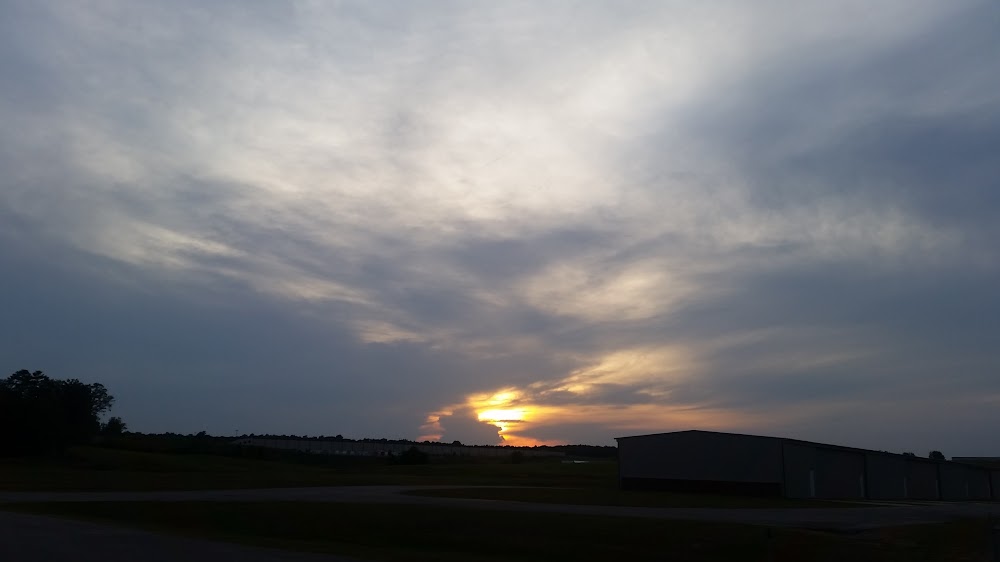
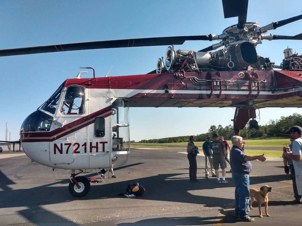
- Airport photos
- Webcam links
Location:
Alabaster, AL
Elevation:
585ft
Sectional:
Atlanta
Activation date:
Apr 1965
Fuel:
100LL, A+ (prices)
Runway 16/34:
5,000ft
Access: Open to the public
Current Weather — LIFR
-
Weather data is strictly informational and not for flight planning purposes.
-
METAR2026-07-16 03:53:00 CDT
Ceiling: 100ft Wind: Calm Temperature: 71°F Dewpoint: 71°F Weather: Mist Visbility: 1SM Clouds: Overcast @ 100ft Raw:METAR KEET 160853Z AUTO 00000KT 1 1/2SM BR OVC001 22/22 A3009 RMK AO2 SLP184 T02220222 57002 -
TAF2026-07-16 02:00:00 CDT – 2026-07-16 11:00:00 CDT
Ceiling: 300ft Wind: 260° @ 7kt Weather: Mist Visbility: 6SM Clouds: Broken @ 300ft Raw:TAF KEET 160704Z 1607/1706 26007KT 6SM BR BKN003 TEMPO 1609/1613 4SM BR BKN003 FM161600 29009G17KT P6SM BKN050 -
TAF2026-07-16 04:00:00 CDT – 2026-07-16 08:00:00 CDT
Ceiling: 300ft Wind: 000° @ kt Weather: Mist Visbility: 4SM Clouds: Broken @ 300ft Raw:TAF KEET 160704Z 1607/1706 26007KT 6SM BR BKN003 TEMPO 1609/1613 4SM BR BKN003 FM161600 29009G17KT P6SM BKN050 -
TAF2026-07-16 11:00:00 CDT – 2026-07-17 01:00:00 CDT
Ceiling: 5,000ft Wind: 290° @ 9kt, gusts 17kt Weather: N/A Visbility: 6SM Clouds: Broken @ 5,000ft Raw:TAF KEET 160704Z 1607/1706 26007KT 6SM BR BKN003 TEMPO 1609/1613 4SM BR BKN003 FM161600 29009G17KT P6SM BKN050
Click/tap to add an annotation marker to the map
No webcams added yet.
Remarks
- Noise abatement area nw of arpt.
- Balloon ops, hang gliding, paja, and motorized parachute ops prohibited.
- Gco avbl on freq 121.725 thru bhm clearance delivery.
- For cd if una via gco ctc birmingham apch at 205-769-3890.
- Actvt reil rwy 16 & 34; papi rwy 16 & 34; mirl rwy 16/34 - ctaf
- Chad scroggins, county manager
- 100ll avbl 24/7 with cc.
- 24/7 emerg ctc # 205-438-5173
Comments