Pirep is a free, collaborative database of all public and private airports. All pilots are welcome to contribute their local knowledge to any airport, no registration required.
Public
Undocumented
METAR / TAF
Webcam
Edit Tags
No upcoming events. Is anything happening here soon?
Airport Statistics
- Crew car availability
- Tags
- WiFi availability
Location:
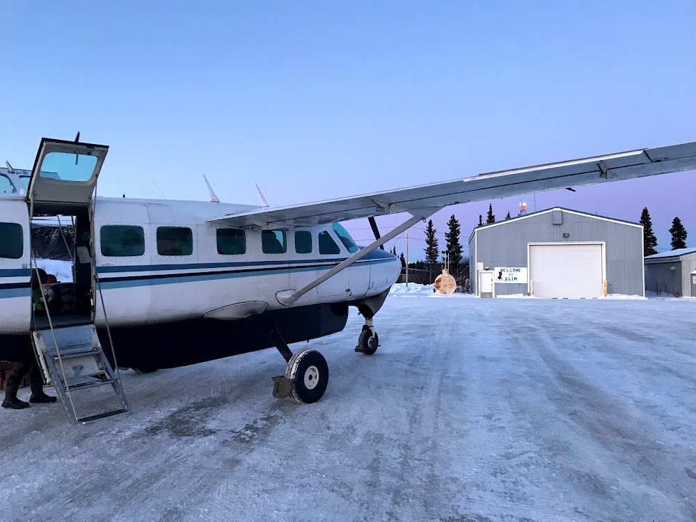
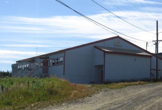
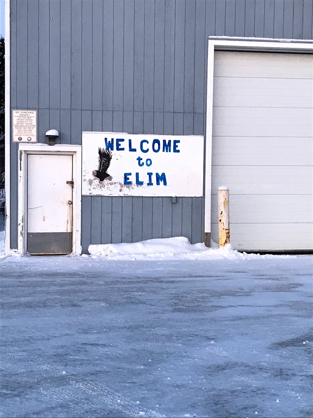
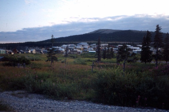
Elim, AK
Elevation:
161ft
Sectional:
Nome
Activation date:
Oct 1952
Fuel:
None
Runway 01/19:
3,401ft
Access: Open to the public
Click/tap to add an annotation marker to the map
Remarks
- This airport has been surveyed by the national geodetic survey.
- Estabd prior to 1959.
- Ry condition not monitored; recommend visual inspection prior to landing.
- +744 ft hill 8700 ft fm ry end 500 ft r.
- Wx camera avbl on internet at https://weathercams.faa.gov
- Cold temperature airport. altitude correction required at or below -34c.
- Sinking area midfield west side of rwy 10'inside lights 20' outside.
- Actvt mirl ry 01/19 - ctaf.
Comments